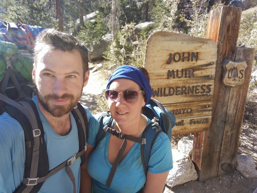
The John Muir Trail - Part 2
Almost half of the trail is behind us, but all the big passes and Mount Whitney are still waiting and there is no more resupply until the end.
First half of the trail here
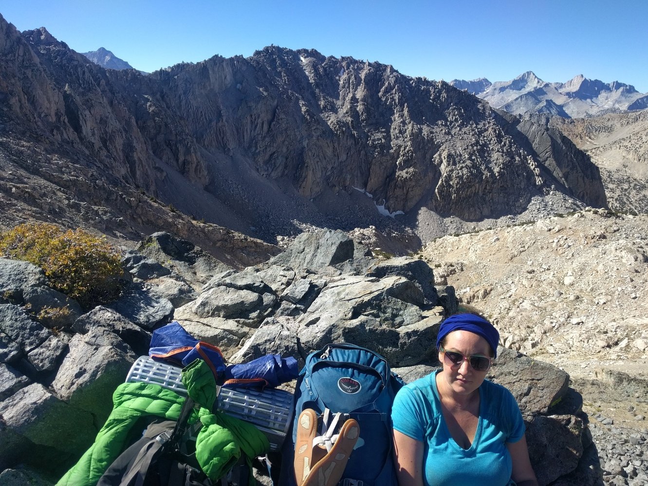
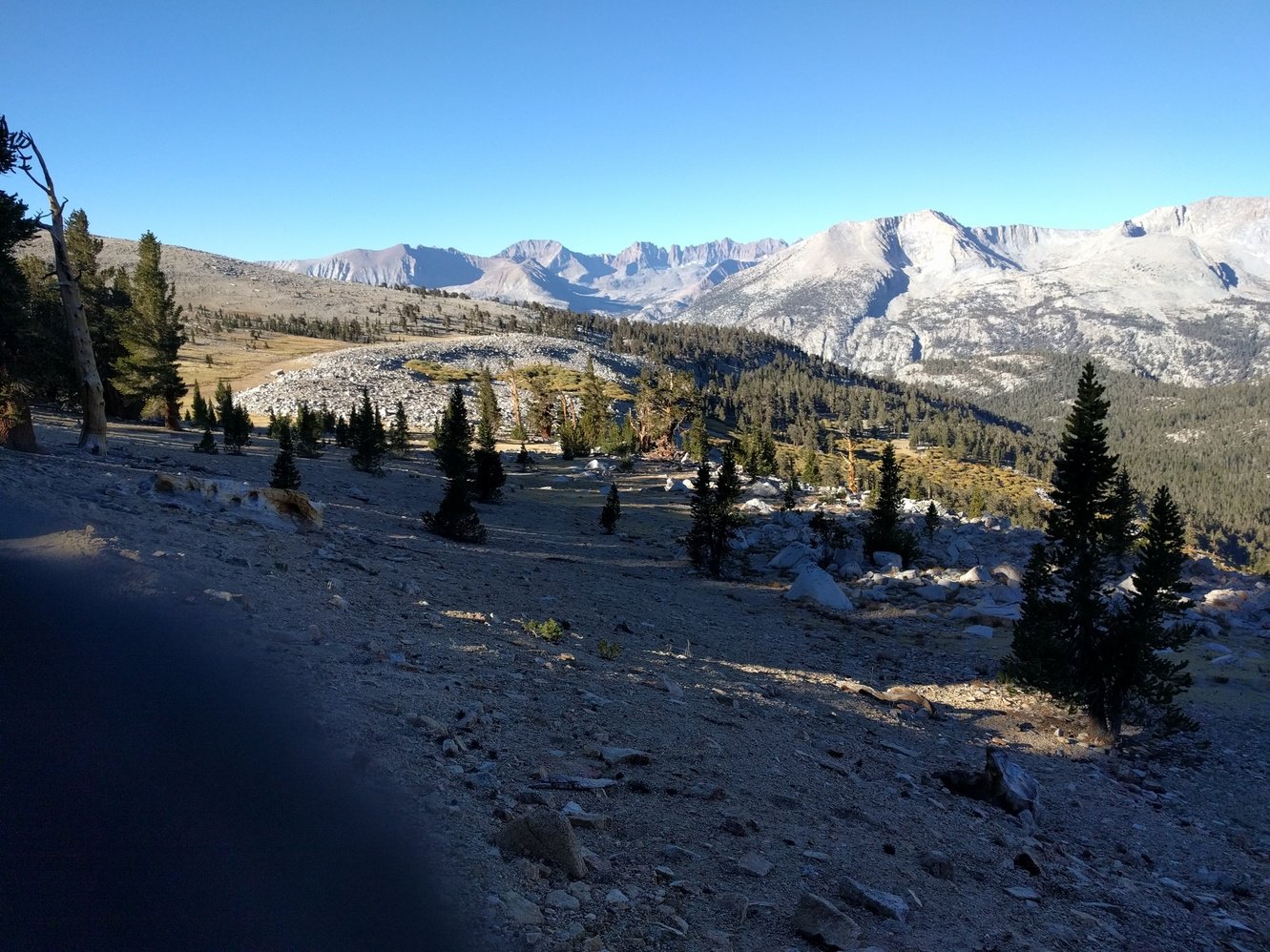
Day 11 - Muir Trail Ranch to Evolution Creek
8.1 miles
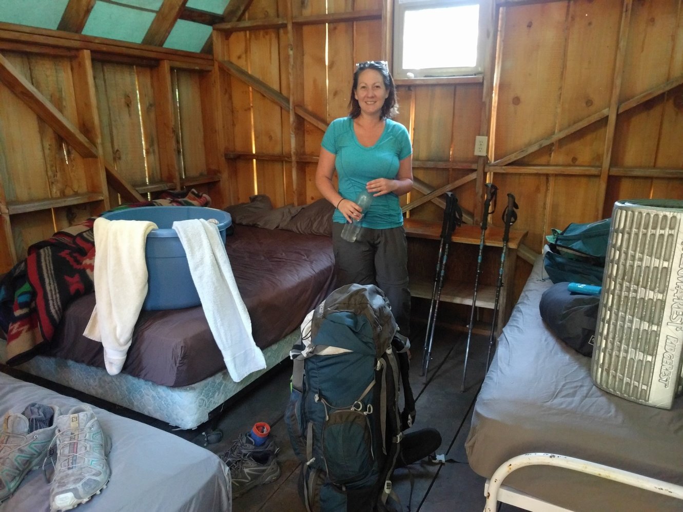
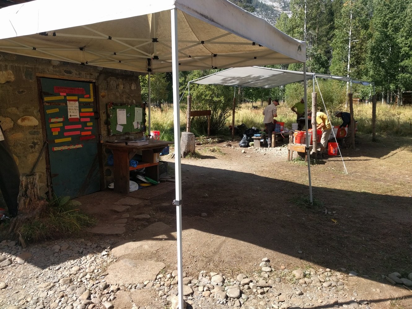
Spending a night in a real bed instead of our tent wasn’t as relaxing as we hoped, but the amazing breakfast burritos made up for that. After breakfast we spent our time until 10am checkout by using all the amenities one last time. We picked up our resupply bucket and started on the tedious task of squeezing 10 days worth of food into our bear canister. Now that we’ve had some more experience organizing the canister it went much better than last time, but we still ended up donating some things to the hikers bucket.
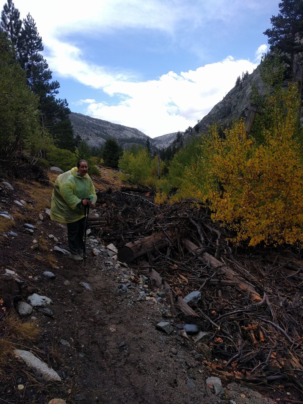
We left MTR around noon and on the way out the old rancher there warned us that he had a feeling we’d get rained on. Turns out he was right and it started raining around 2pm. Fortunately it wasn’t very strong or long. We sheltered under some trees for the worst of it and then just pushed through. Megan luckily picked up a rain poncho that she thought was a bag from the MTR hiker buckets that fit over her and her pack. Markus proceeded to ask Megan if she knew how to use a trash bag to cover his pack, she reminded him that she previously wanted to purchase raincovers for the packs, to which he stated a garbage bag would be sufficient. Eventually Markus did make the garbage bag work–in time for the rain to stop. We made it to camp near Evolution Creek around 5pm. The last climb up to it with the full resupply on our back sucked but at least we won’t have to start with it tomorrow.
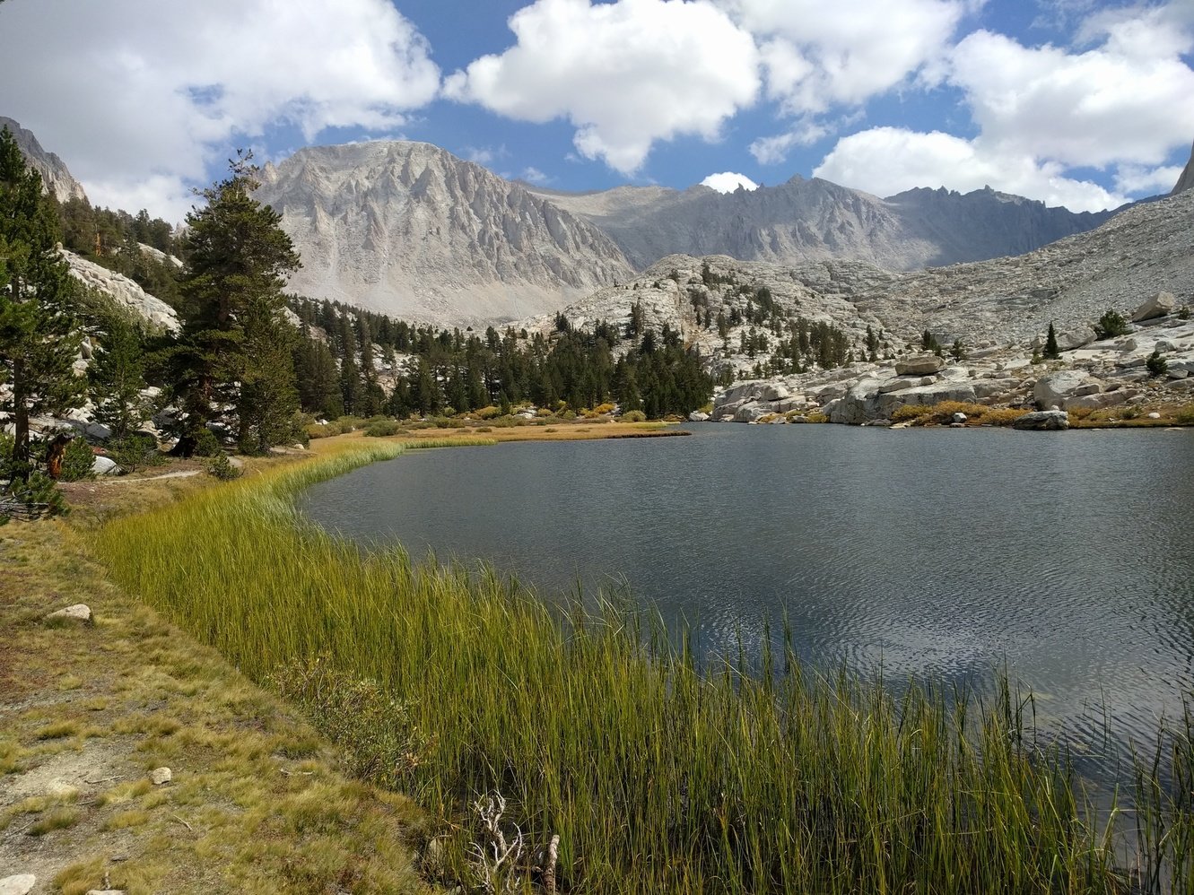
Day 12 - Evolution Creek to Evolution Lake
6.9 miles
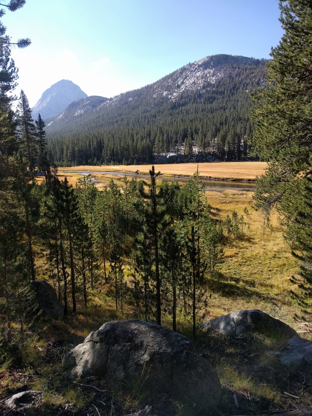
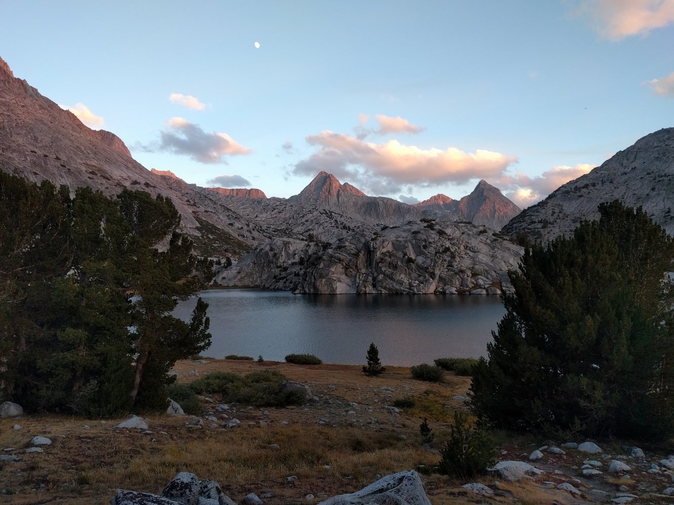
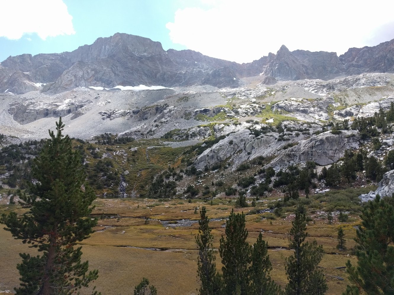
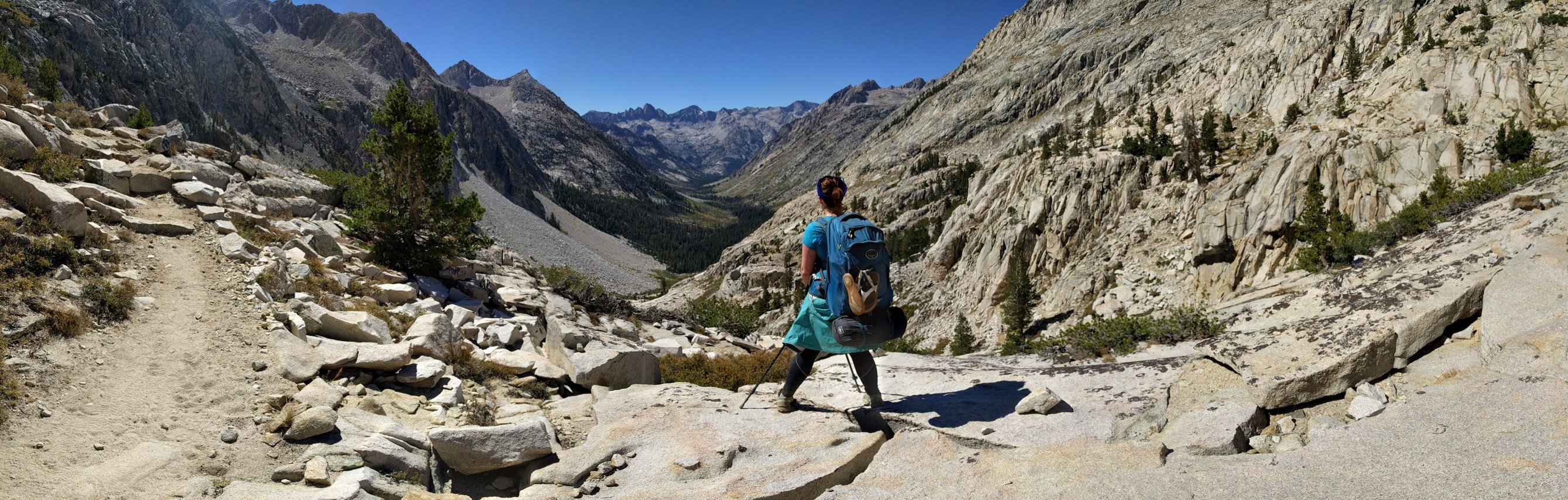
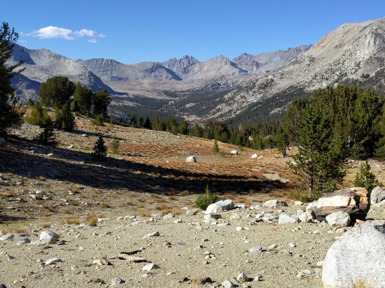
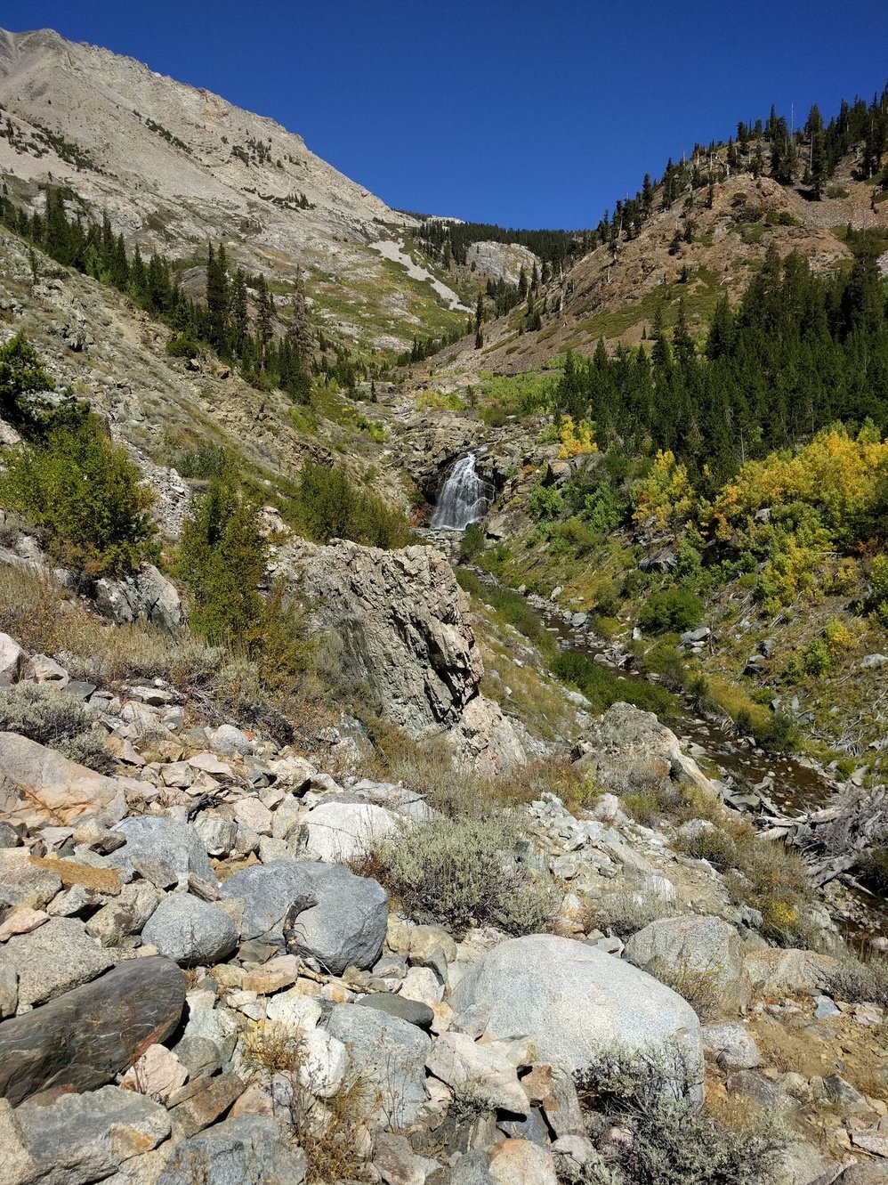
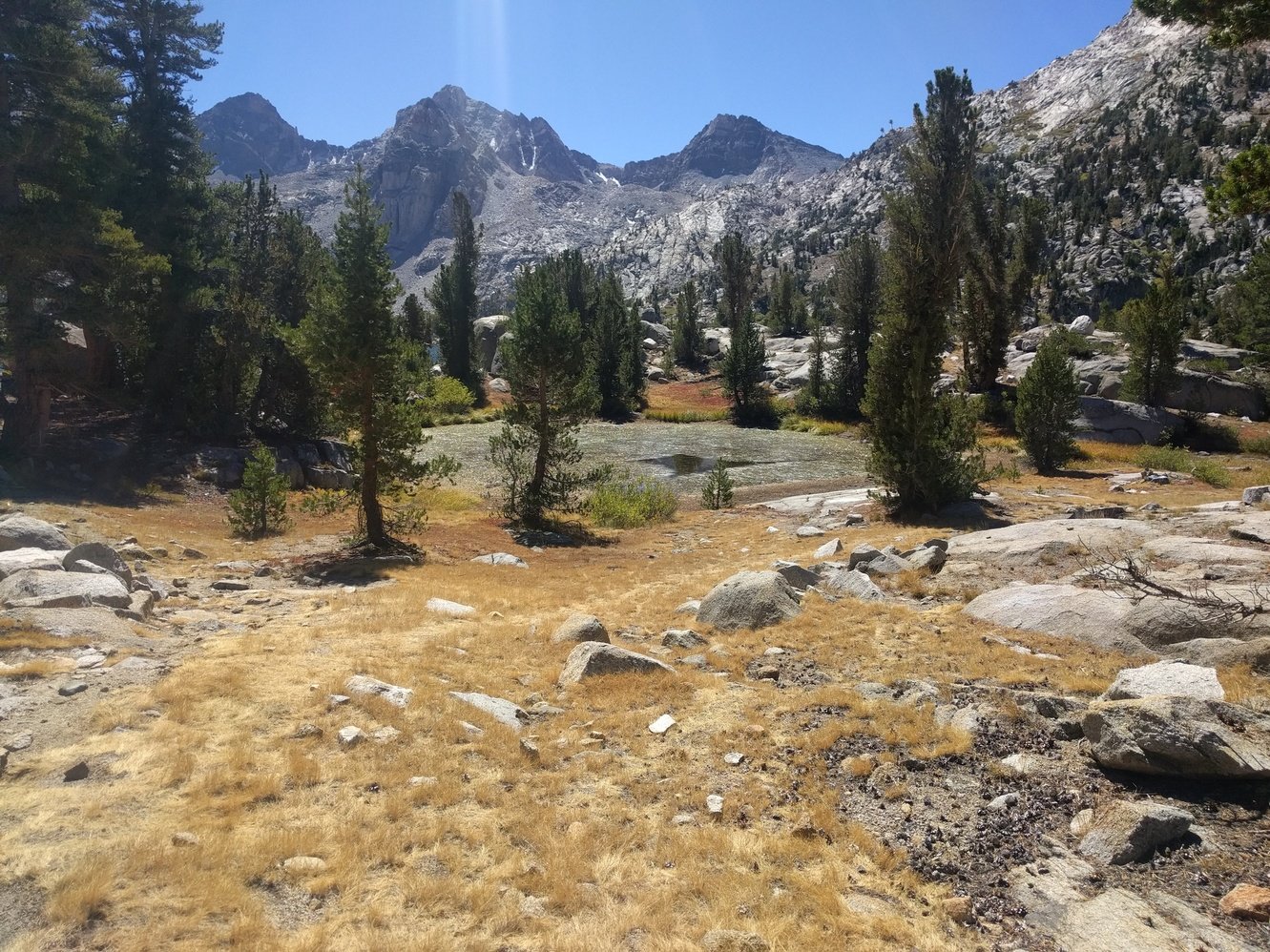
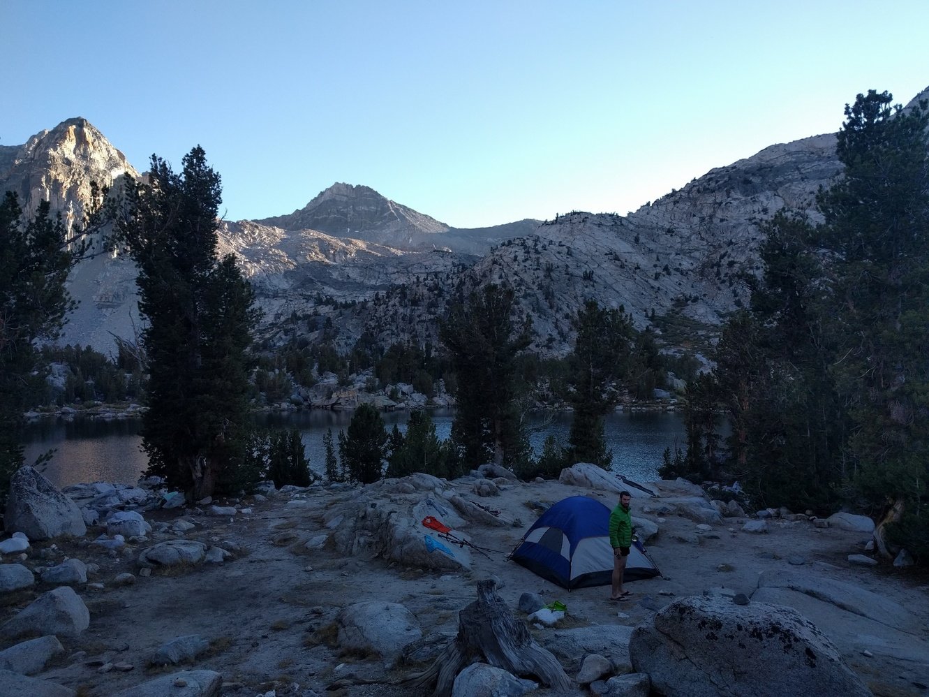
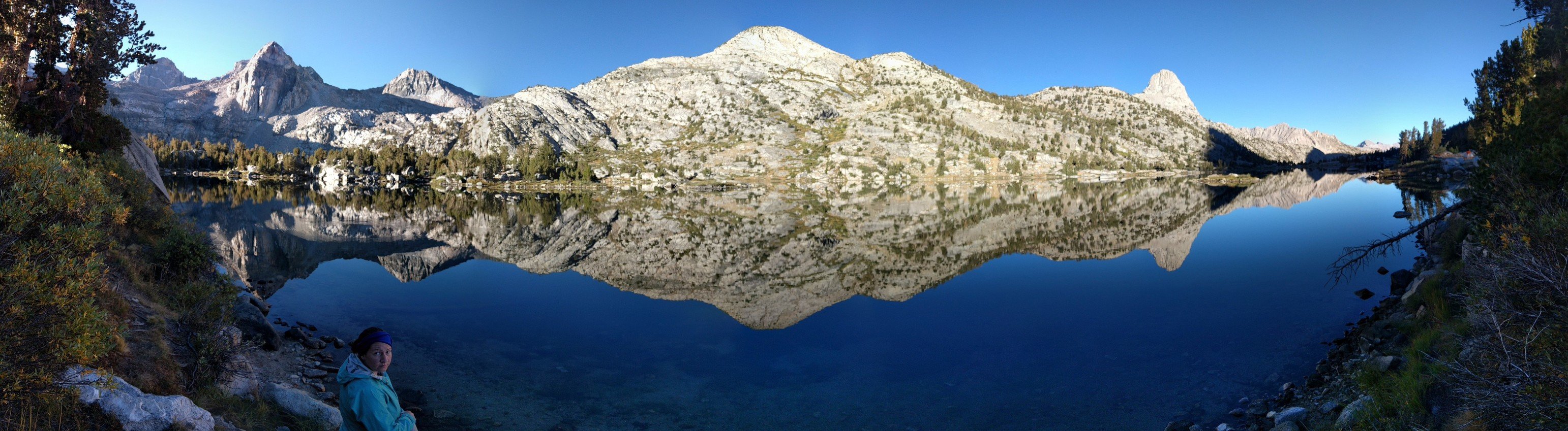
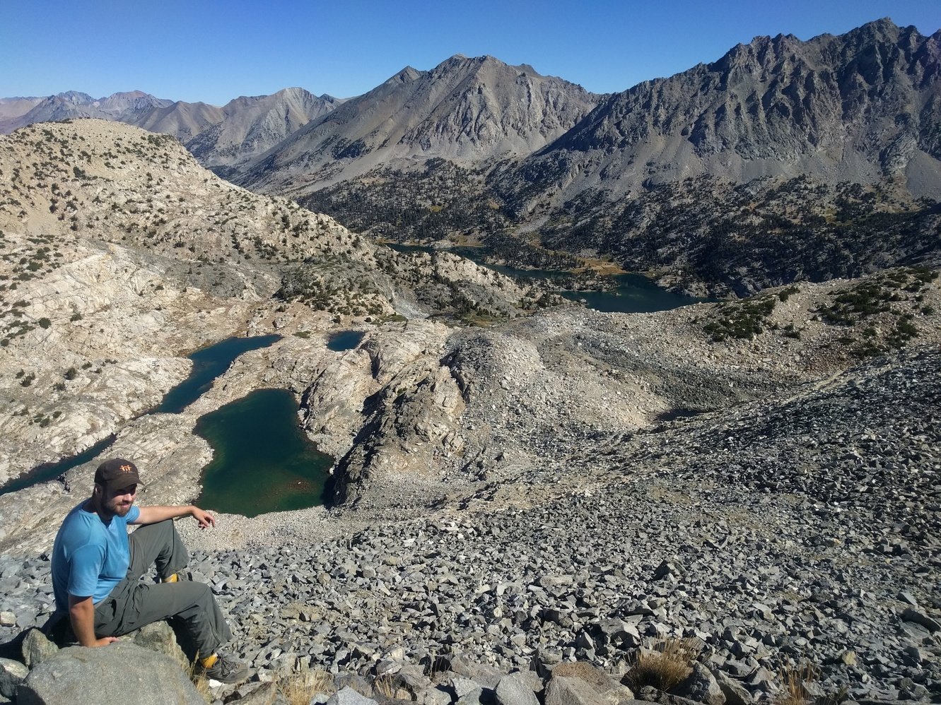
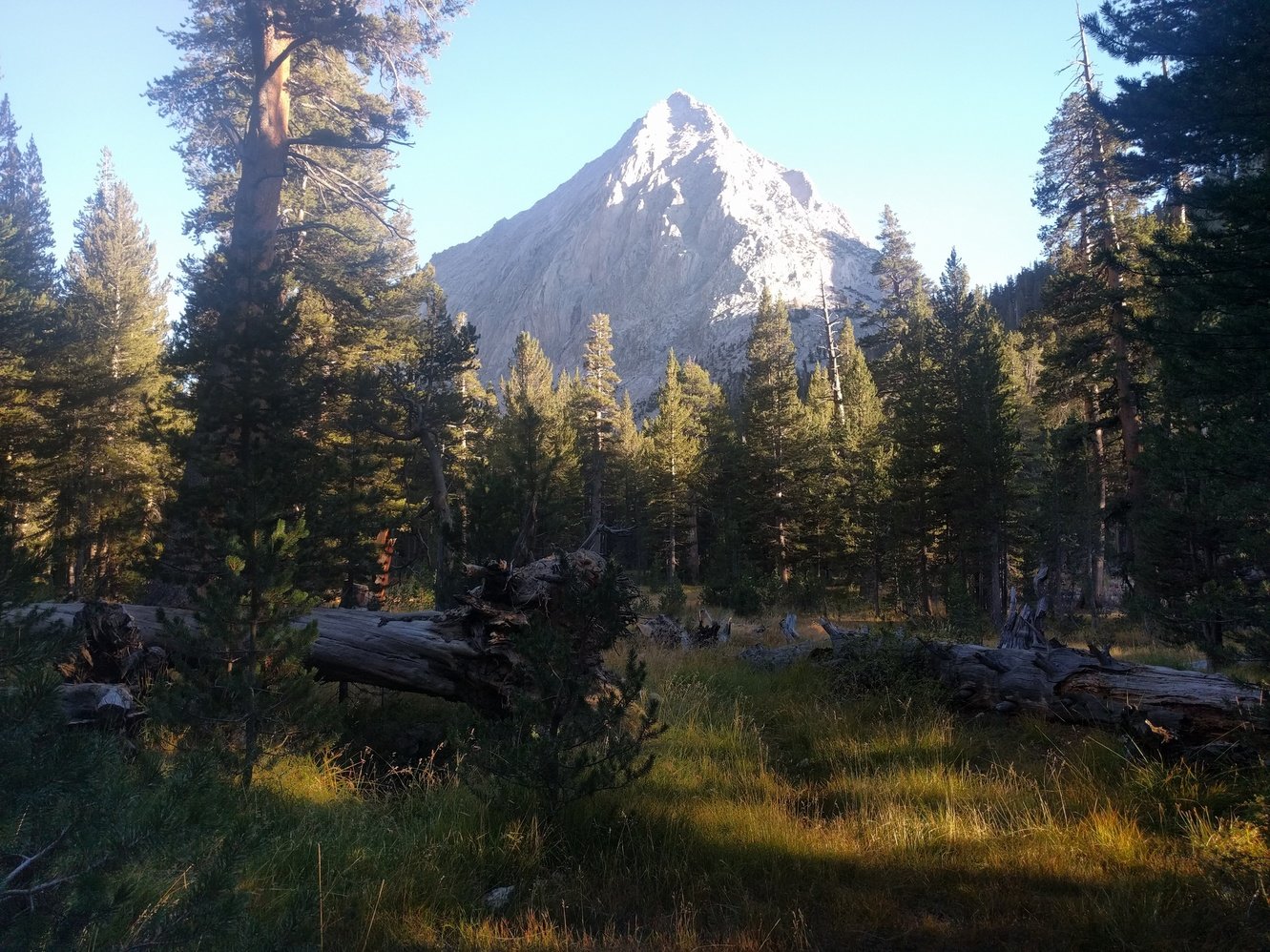
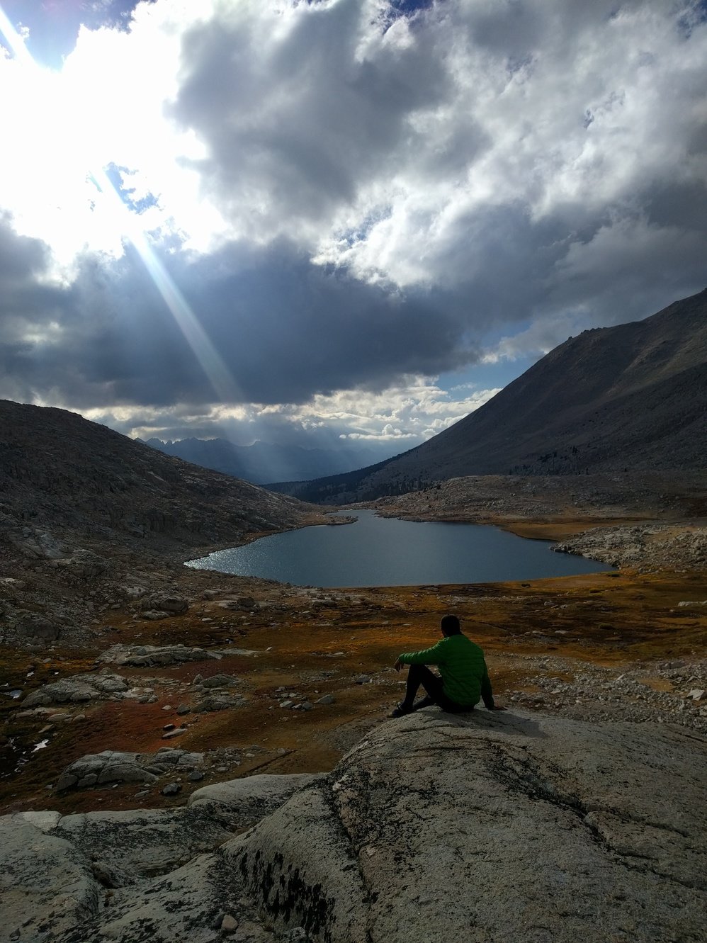
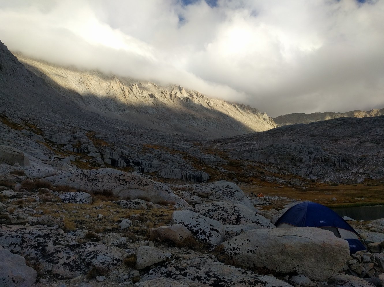
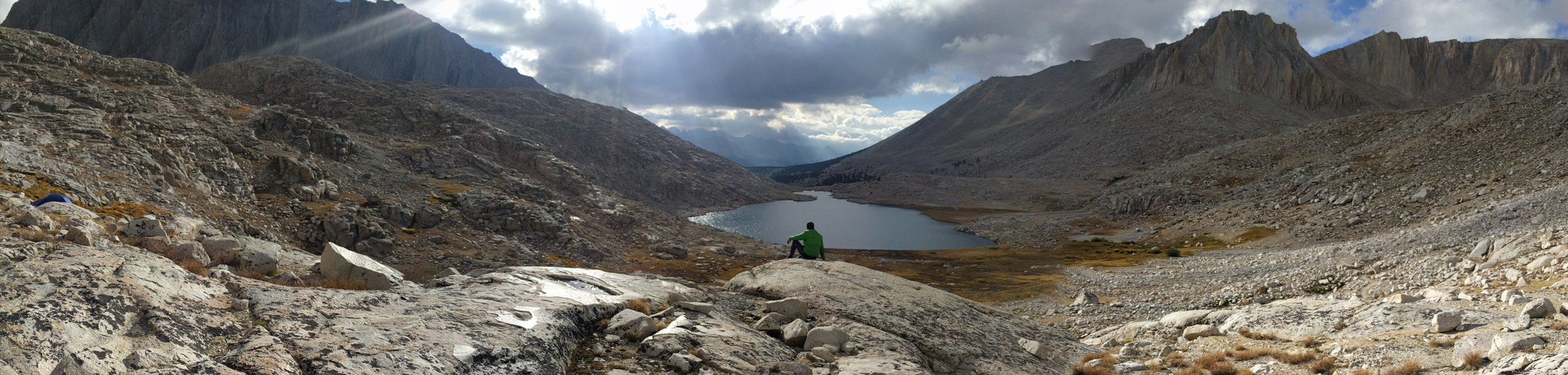
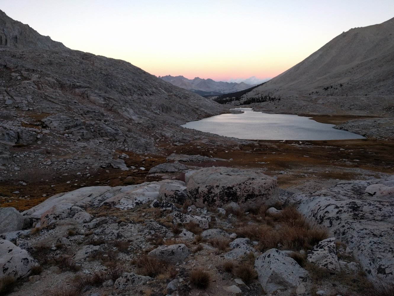
We had an early start because it was freezing last night and we didn’t sleep well. There was still frost on the ground in the morning. We ran into a lot of deer on our way through Evolution Valley and started our final climb for the day to Evolution Lake around 10:30am. We found a little campsite that somebody had built a little stone wall around overlooking stunning Evolution Lake. The view and landscape around the lake is amazing, but unfortunately it is also pretty windy.
Day 13 - Evolution Lake to Bishop Pass Jct
13.4 miles
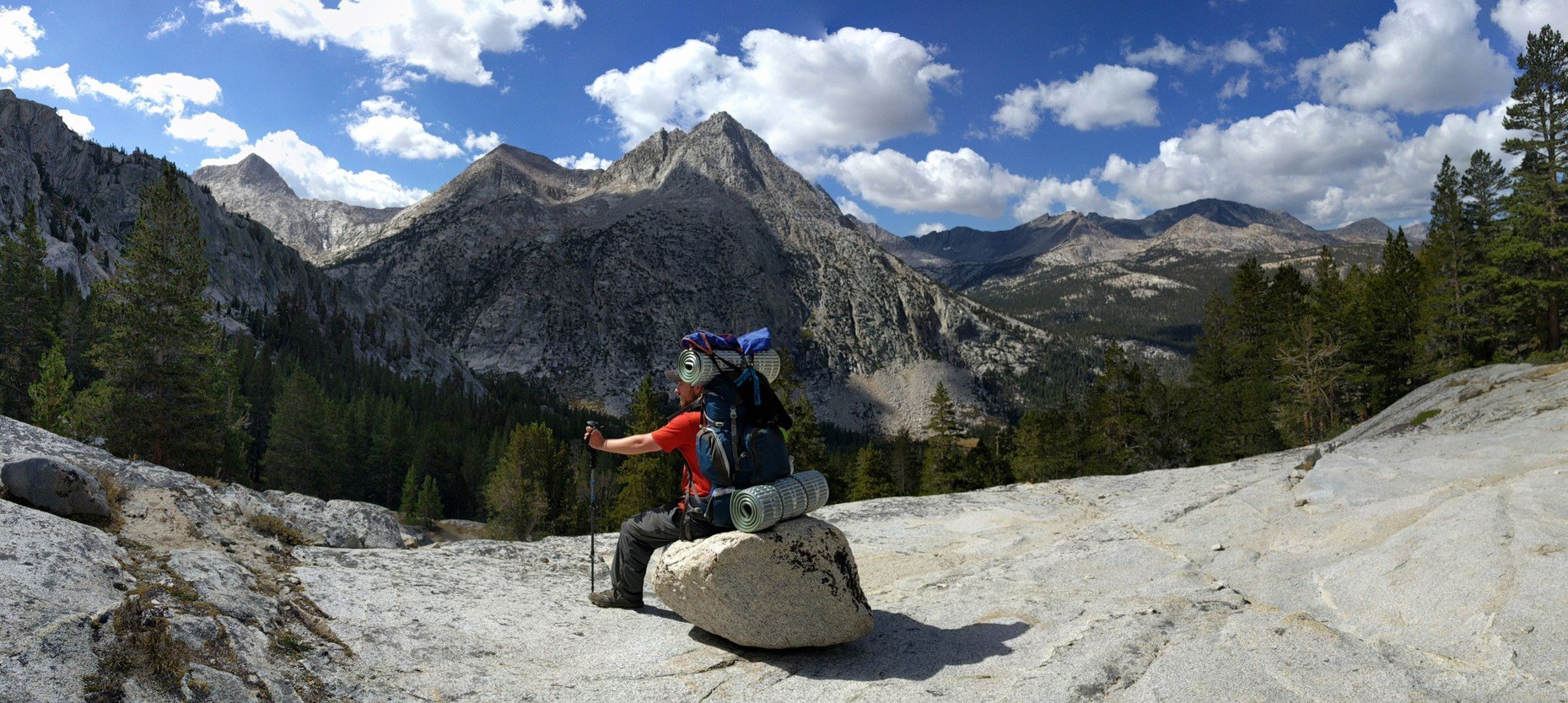
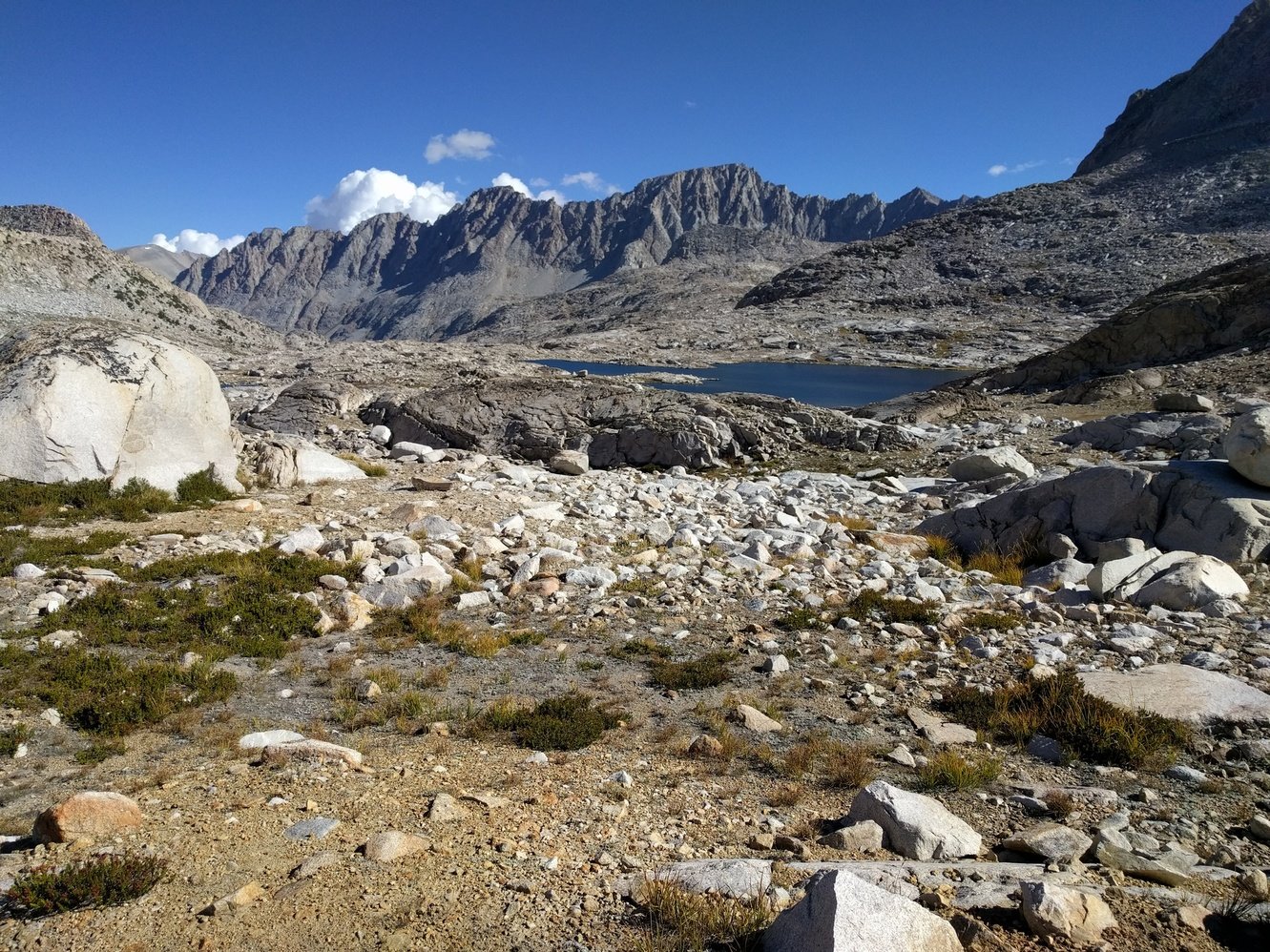
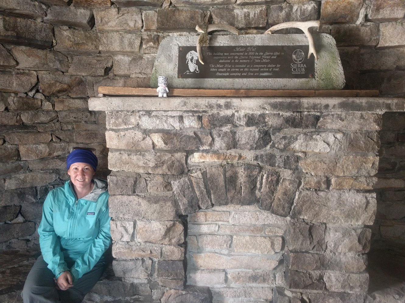
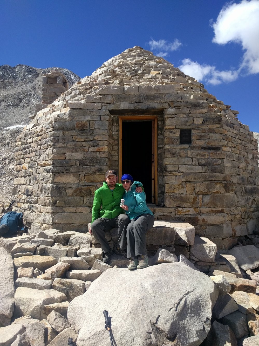
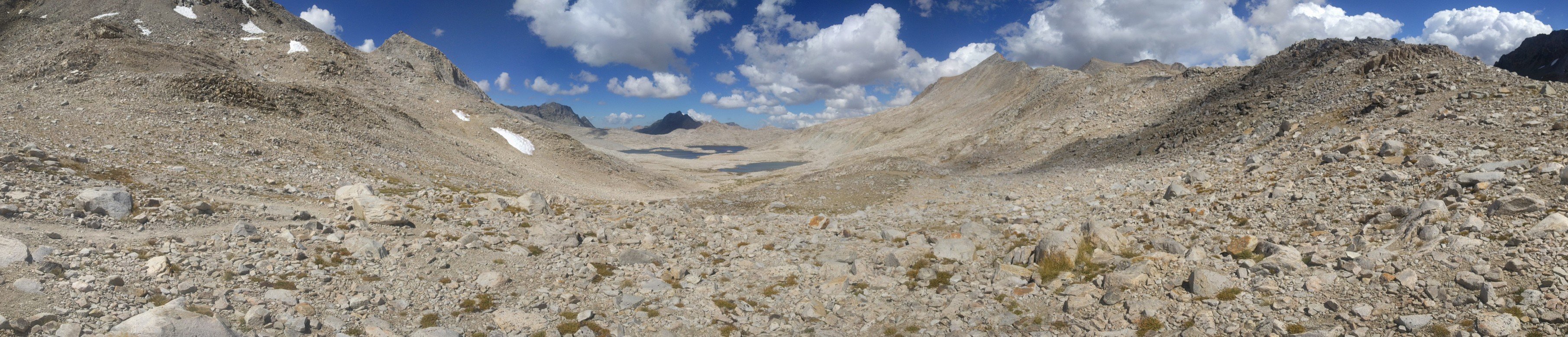
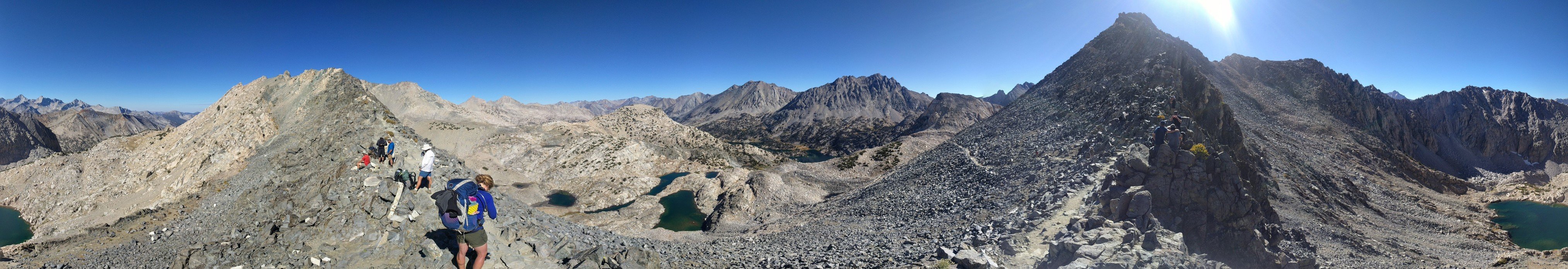
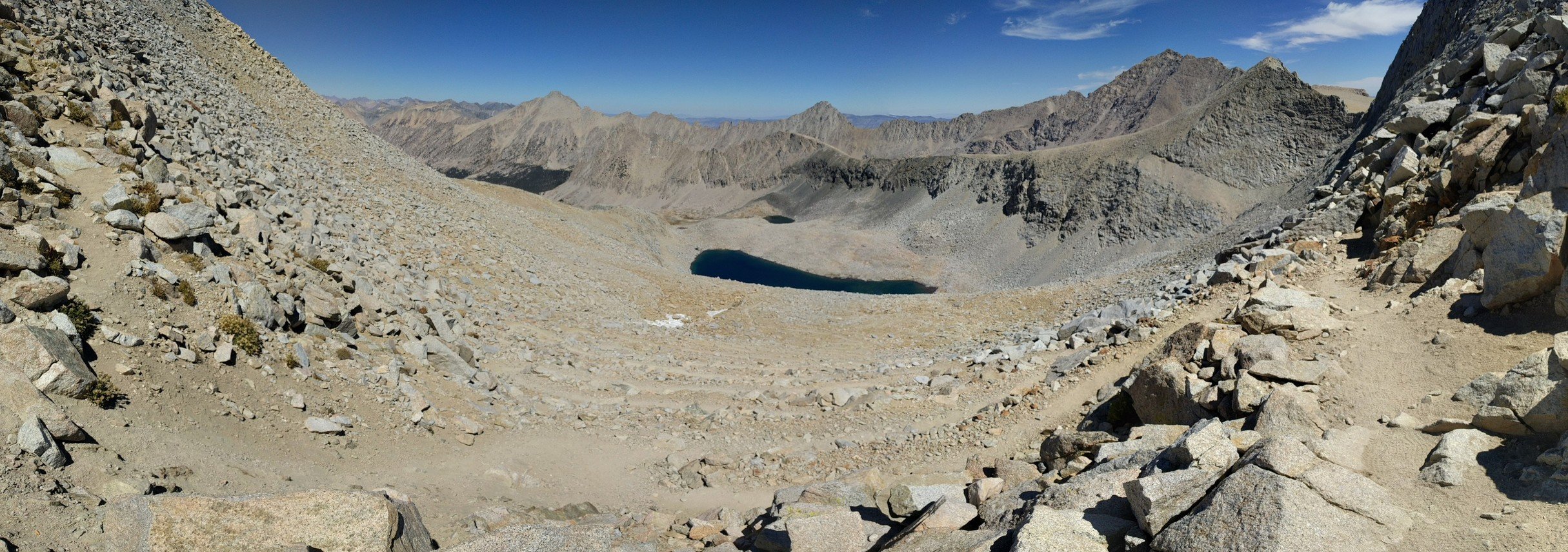
Last night was one of the coldest so far and we both had a hard time getting some rest. We made breakfast with gloves on and started our ascent towards Muir Pass (11980 ft) around 8am. The first few miles through Evolution Basin went by pretty quickly and we slowly started to warm up. Soon we could see the hut on top of Muir Pass on the horizon. That turned out to be pretty misleading as it still took us quite a long time to finally reach it.
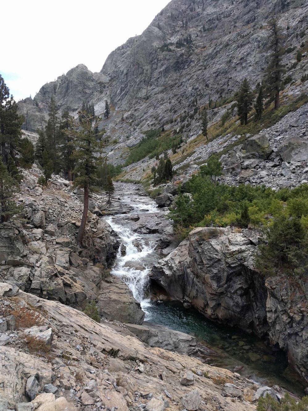
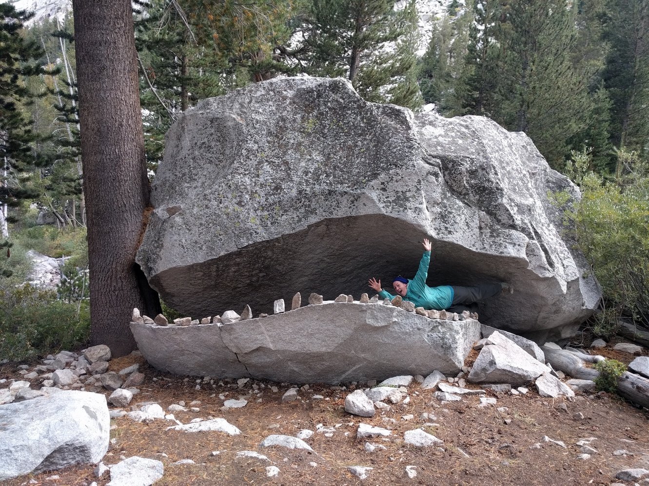
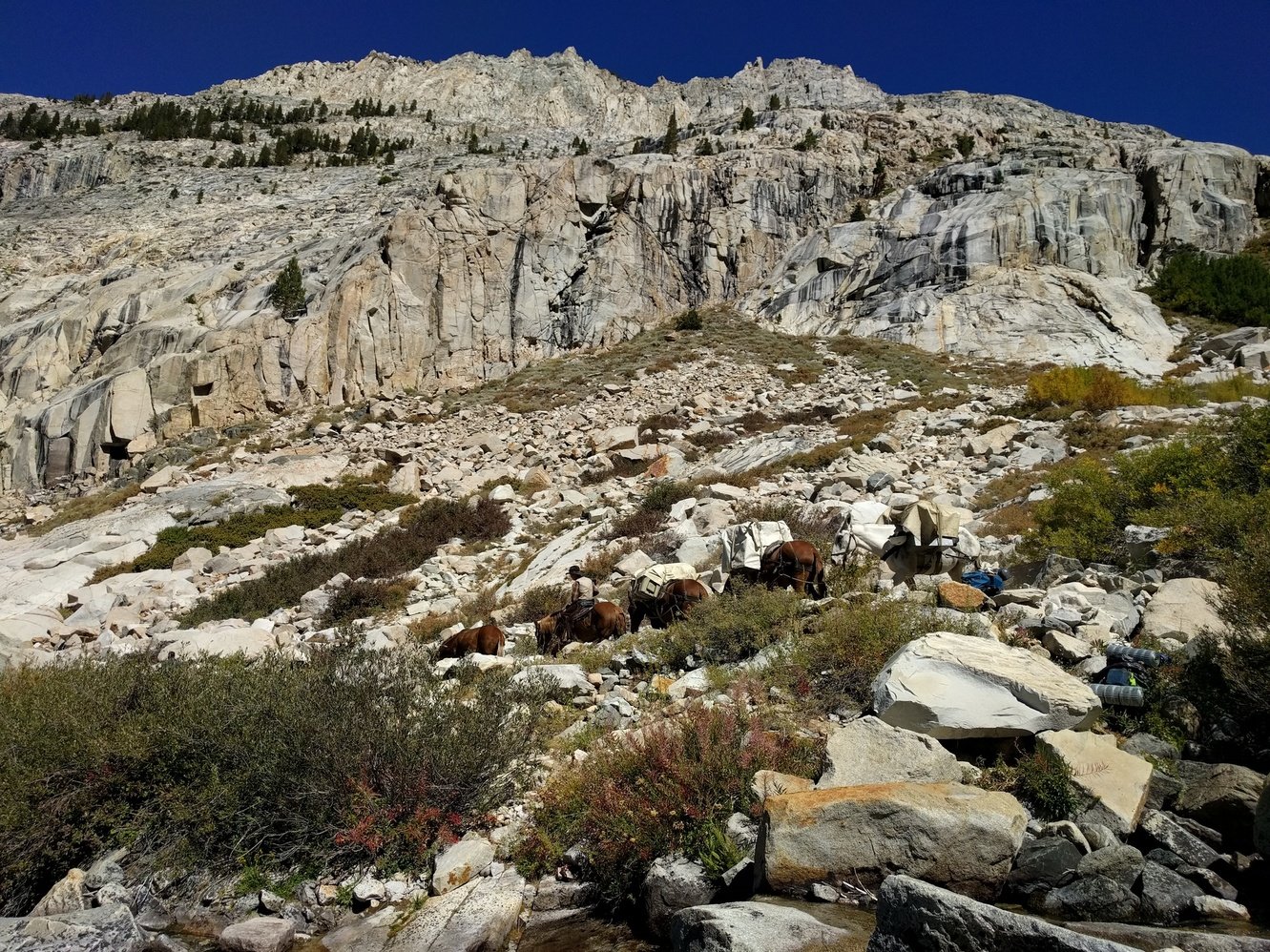
The first few miles of the descent were tough as well and the rocky terrain took a toll on us. During lunch a curious chipmunk was circling us the entire time hoping he could snatch some food. Soon after lunch the view over Le Conte Canyon opened up and the next few miles were full of amazing scenery. We also found the Le Conte Canyon monster and took some pictures with it. Around 4pm we almost settled for a pretty crappy campsite, but luckily we decided to push on and found a great spot. It’s been a long day, but it will make the Golden Staircase tomorrow and subsequently Mather Pass much easier.
Day 14 - Bishop Pass Jct to Lower Palisade Lake
10.4 miles
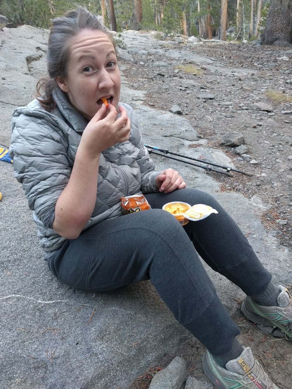
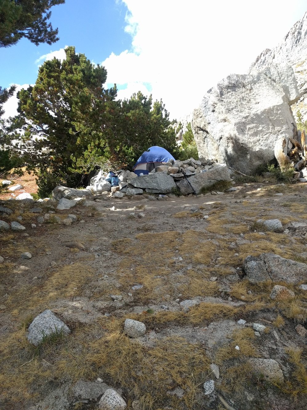
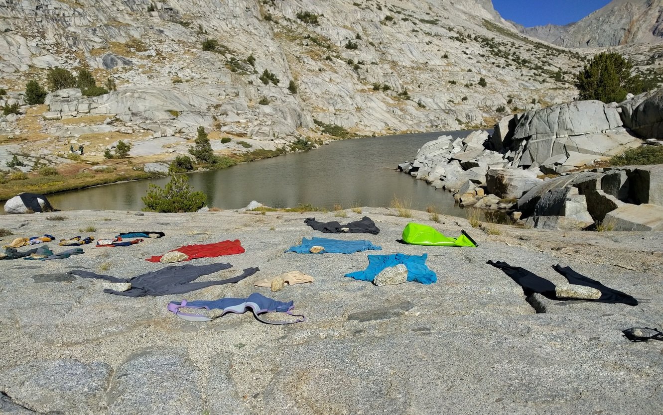
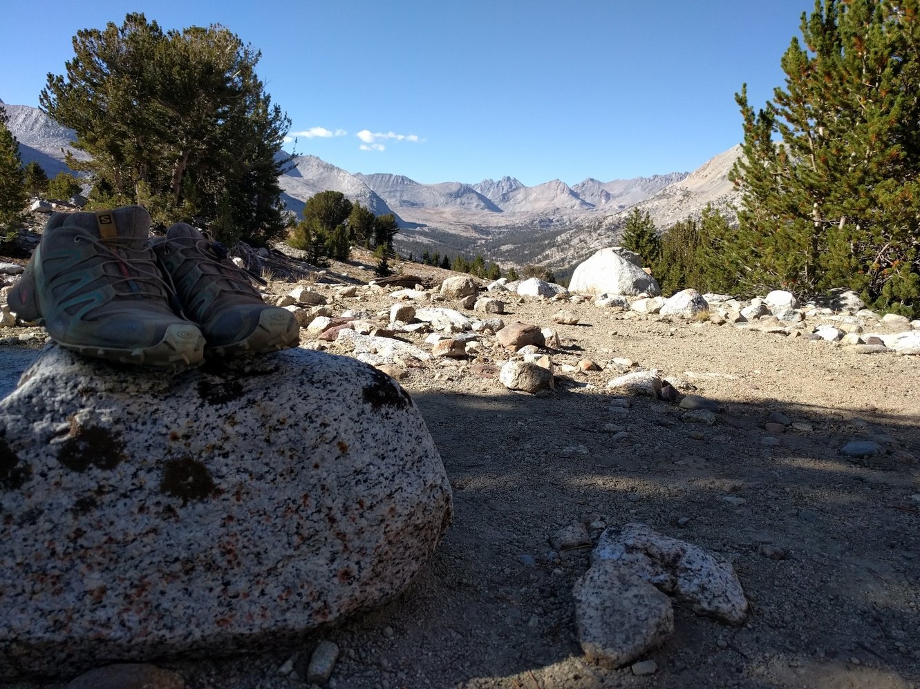
Thanks to the lower elevation it wasn’t quite as cold last night. The goal of today was to get into a good position for Mather Pass. Ideally we’d make it past the Golden Staircase. In the morning we had a good pace thanks to the fairly flat trail and made it to Deer Meadow around 11:30am. Unfortunately, we didn’t realize that we had reached it and when we wanted to stop for lunch we were already slightly up the Golden Staircase. That caused a fight because Markus hates eating in the sun. Right after lunch we found a horseshoe on the trail that we decided to take with us as a souvenir for Megan’s mom who loves horses. Not exactly the most lightweight thing we could possibly pick out, but a nice find. After some food we were in a better mood and started the climb. Golden Staircase is a terrible name for the place–“Never Ending Staircase from Hell” would be much more appropriate. The climb took forever and the constant large steps made it hard to find a rhythm. We put up tent at Lower Palisade Lake around 2:30pm–still early enough to do some cleaning and laundry.
Day 15 - Lower Palisade Lake to Tahoose Pass Jct
11.0 miles
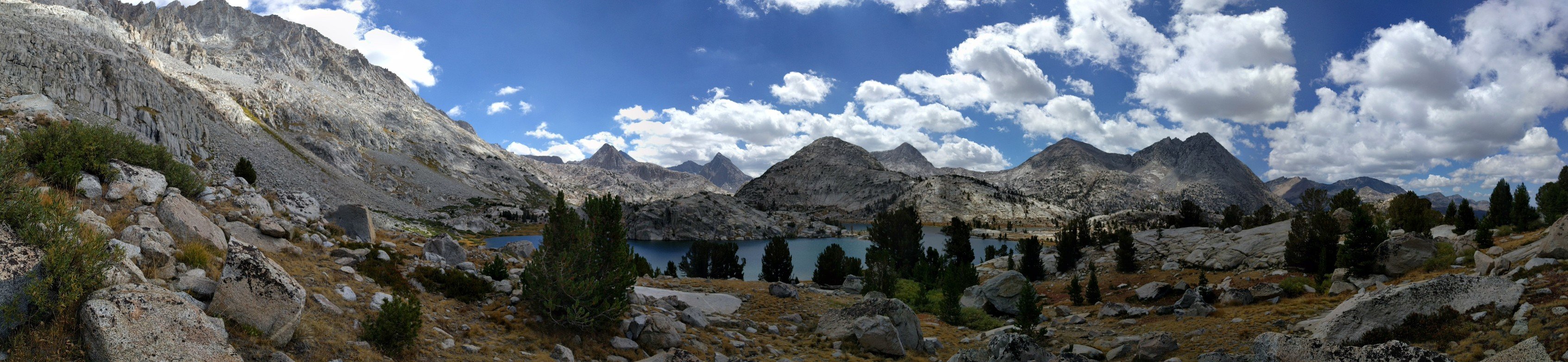
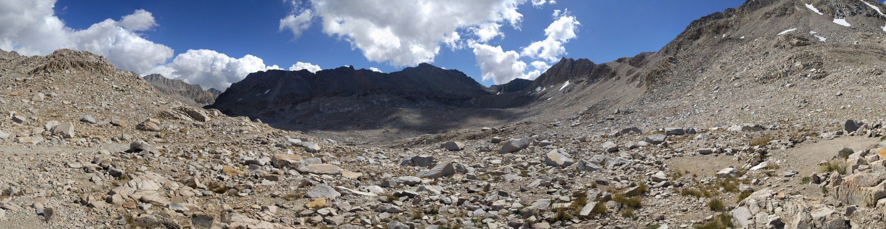
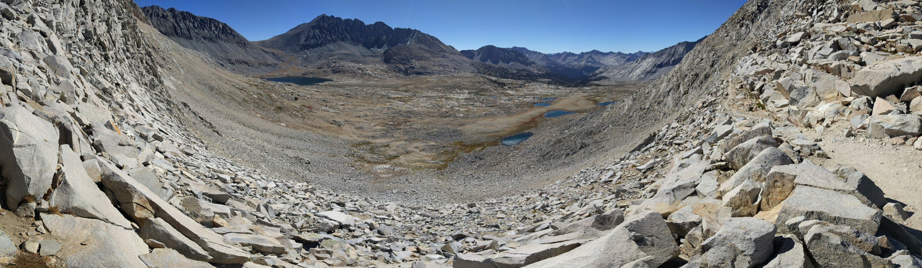
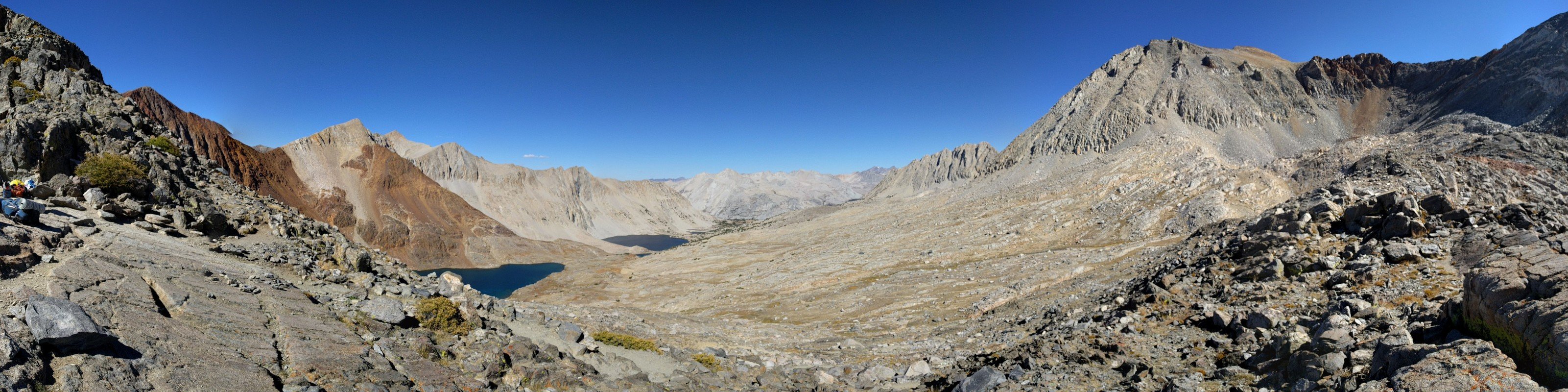
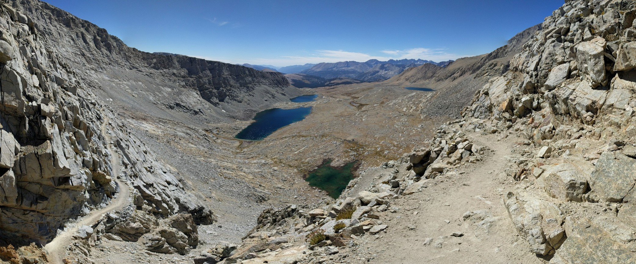
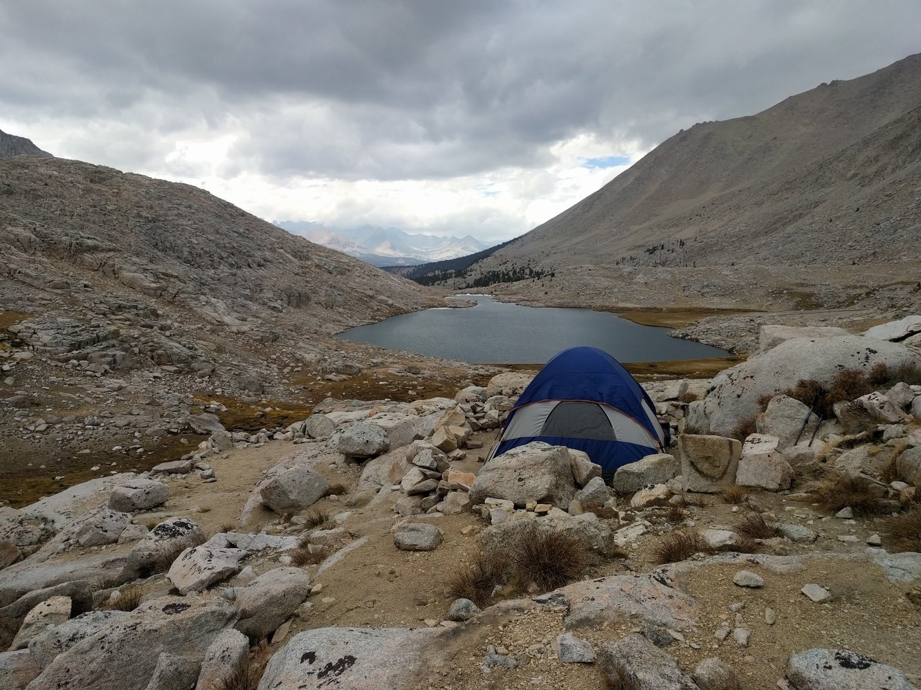
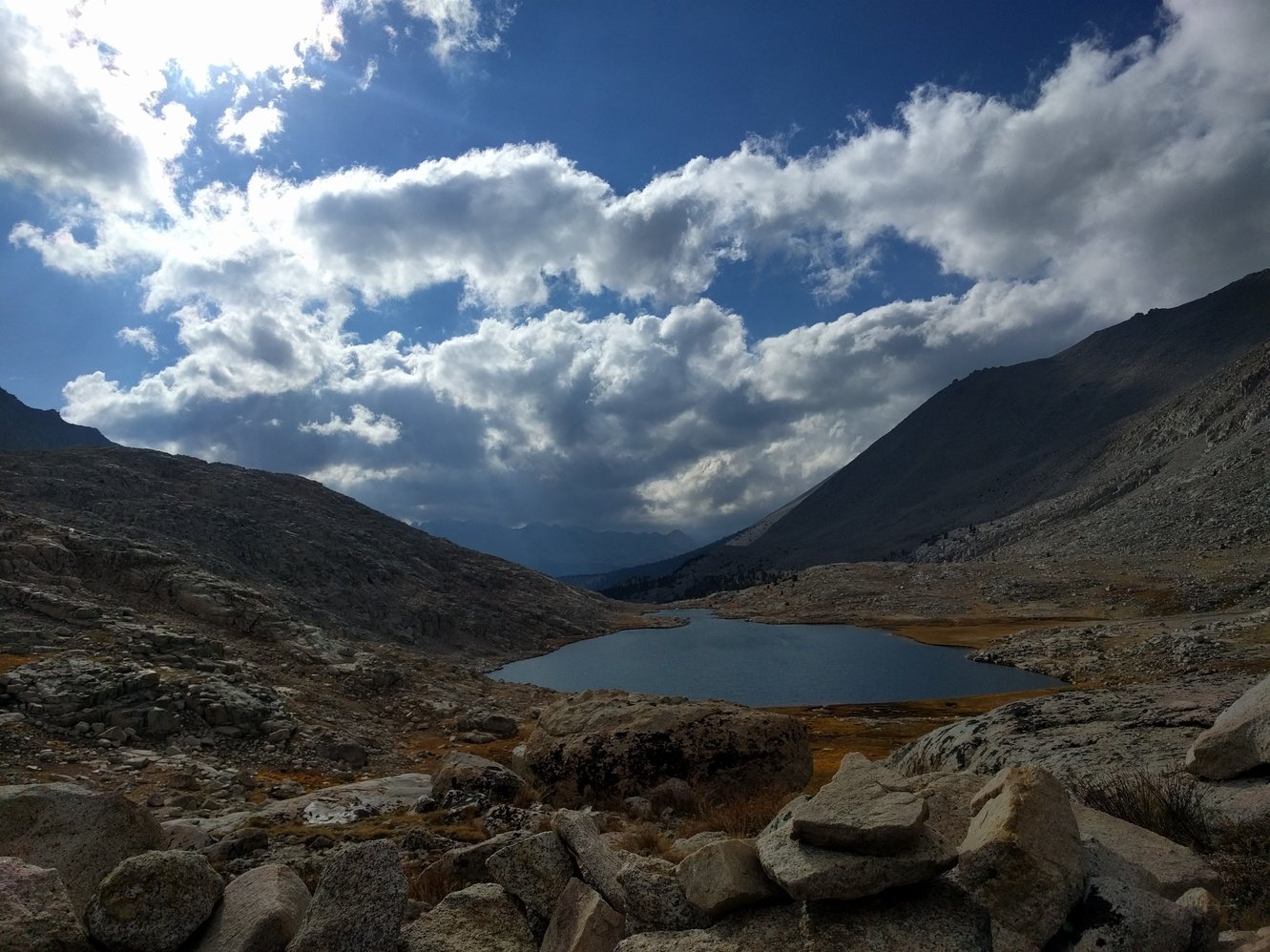
We slept in pretty late and only started our ascent up Mather Pass (12100 ft) around 9am. In the beginning it looked like we’d make it there in no time but it turned out to be a false summit with another climb waiting for us behind it. We finally made it to the top around 11am. The south side of Mather Pass looked like a landscape from another planet that we’d need to cross through. According to our map the South Fork Kings River crossing should only be 5.6 miles away, but it felt like it took forever. We also ran into other hikers whose maps showed 6 or 7 miles- very frustrating. We reached the bottom of the valley around 2:30pm and decided to push on towards the Bench Lake junction to make Pinchot Pass tomorrow easier. A climb at the end of a day always sucks and in the end we had to push to almost Lake Marjorie to find an open campsite. At least it is nice and secluded and has views back into the valley and Mather Pass in the distance.
Day 16 - Tahoose Pass Jct to Woods Creek Junction
10.1 miles
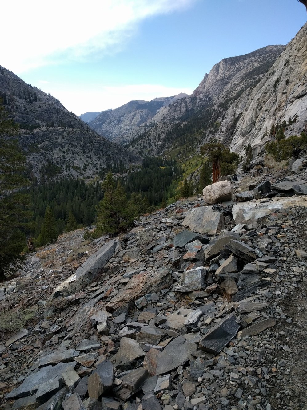
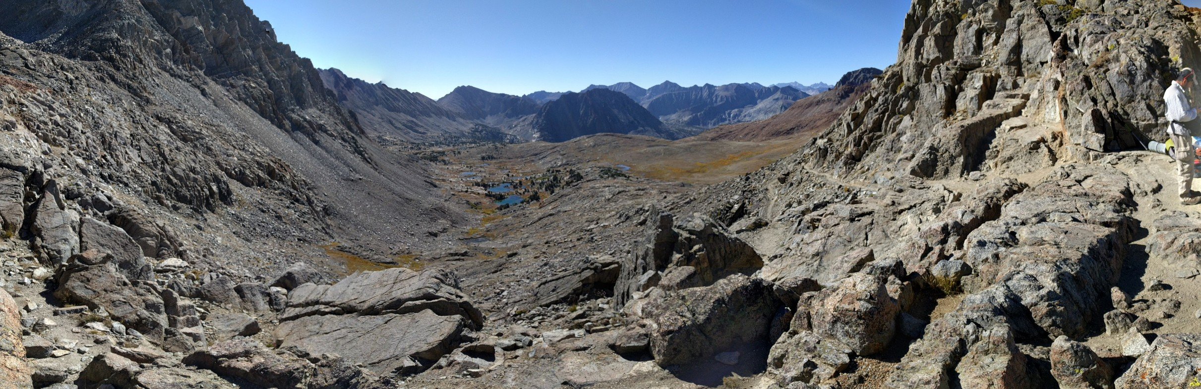
Last night was freezing and we had ice in our water bottles in the morning. The morning routine dragged on incredibly slowly until the sun finally hit our campsite. The climb up Pinchot Pass (12130 ft) was pretty easy and we ran into some familiar faces, Sarah, Dave, Dan and Karen, on top of it that we haven’t seen since Muir Trail Ranch. The south side of the pass looked similar to Mather Pass and we again had to cross a barren landscape before reaching and descending alongside Woods Creek. The whole descent was steep, rocky and unpleasant and it took a long time to cover the 7.4 miles to the Woods Creek junction. Later we found out that the original trail went closer to the creek but was rerouted to protect the vegetation there. Slowly the trail is taking a physical toll on us now. Chaffing and other pains are getting worse but we’ll have to push through them.
Day 17 - Woods Creek Junction to Upper Rae Lakes
6.5 miles
Today was a pretty short day. Despite a late start and walking slowly to avoid aggravating the chaffing we made it to camp at 1pm. We also checked in with a ranger station for a weather forecast,it’s supposed to be warmer and no rain the next days so hopefully we’ll be good for the rest of the trail. Dan and Karen also had some extra Vaseline they gave us which should fix our chaffing issues. From Rae Lake we’re in a nice position to tackle Glen Pass tomorrow. We did some laundry in the afternoon and saw a coyote sneak around our campsite, unfortunately we didn’t manage to get a picture.
Day 18 - Upper Rae Lakes to Vidette Meadow
6.6 miles
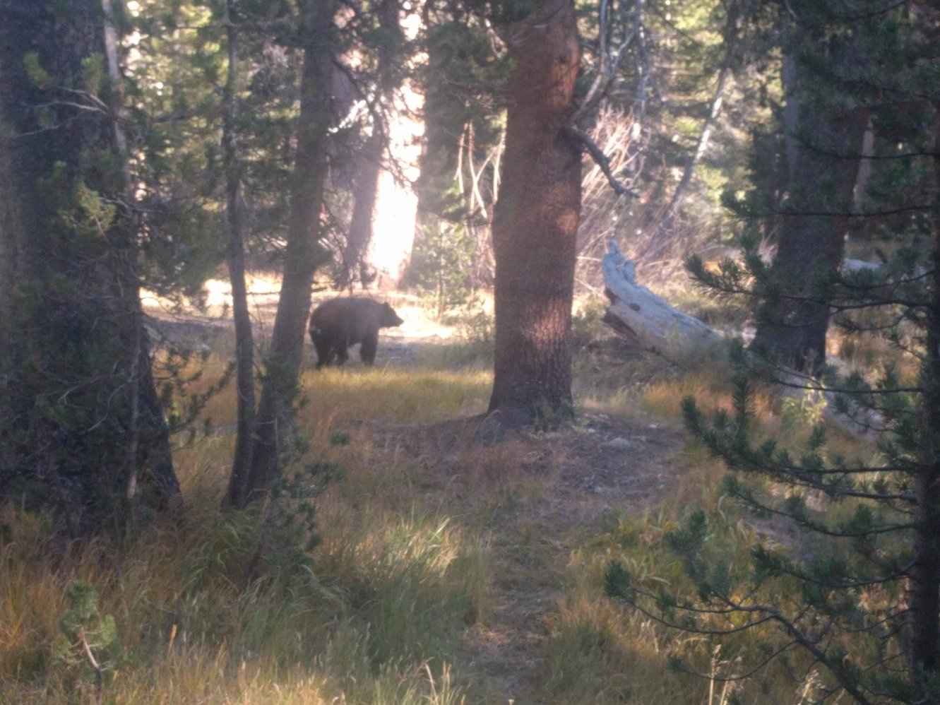
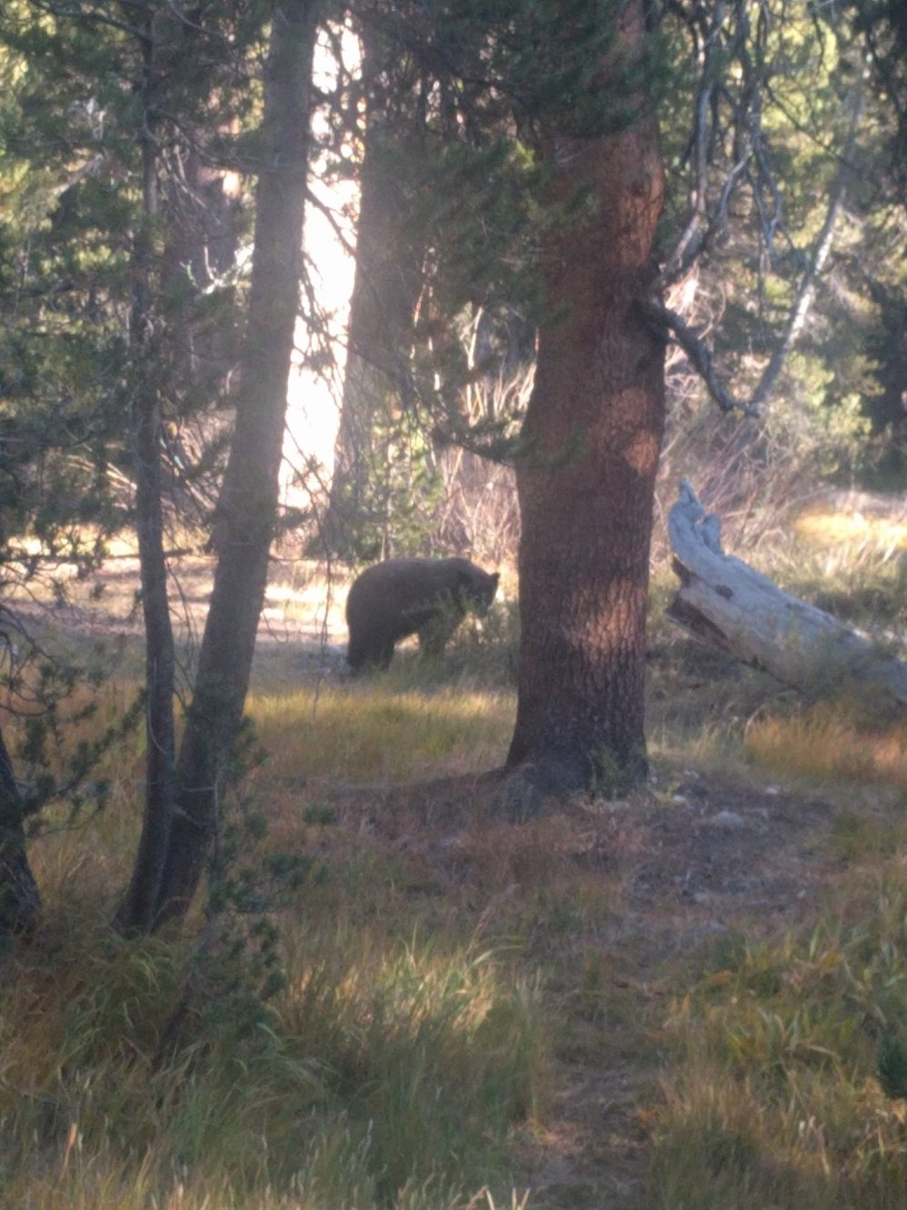
We woke up to an amazing sunrise over Rae Lakes. Unfortunately, the campground got pretty crowded overnight, so finding a secluded spot to dig a cat hole was tricky. The climb up Glen Pass (11970 ft) was steep, but short and we reached the top by 10am. Glen Pass itself is amazing. It’s just a small little strip on top of a mountain ridge. The way down went by pretty quick as well and despite a lunch break we reached camp around 1pm. We accidentally picked a campsite in Lower Vidette Meadow instead of Upper Vidette Meadow, but that one mile shouldn’t make much of a difference. Shortly before we planned on having dinner we had a bear in our campsite. We already had our food bag out of the canister and turned our back to look at the nearby creek for a second. When we turned around he had already snuck up real close to the dinner bag. After we yelled at him he slowly trotted away like a dog that got in trouble. The whole experience certainly made us extra diligent with food storage that night. Tomorrow the long climb up Forester Pass awaits.
Day 19 - Vidette Meadow to Lake South America Jct
12.3 miles
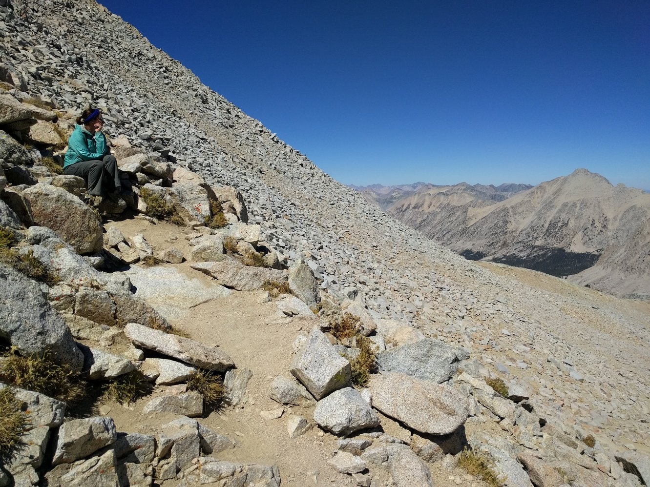
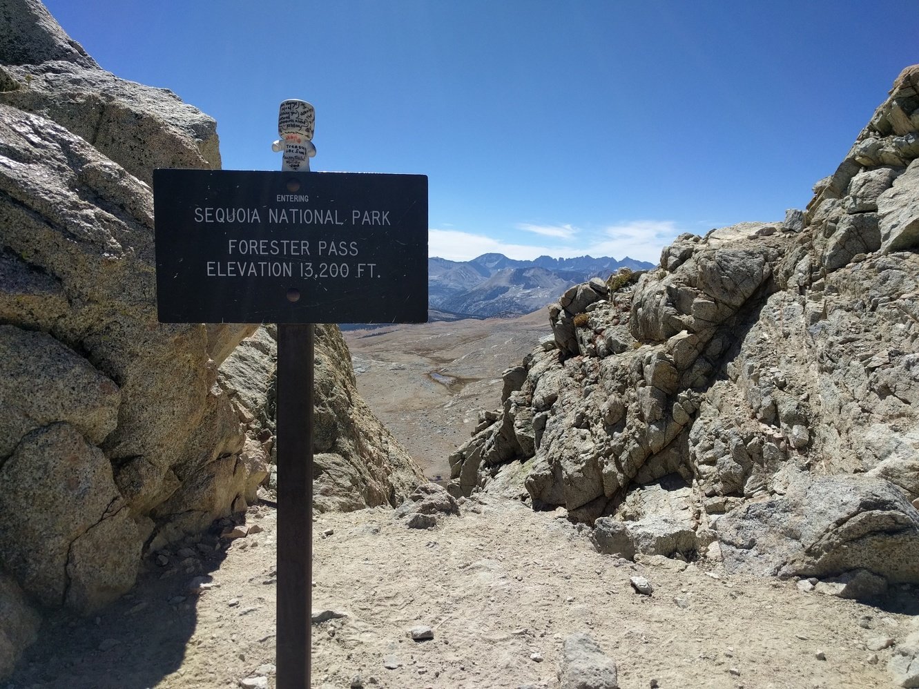
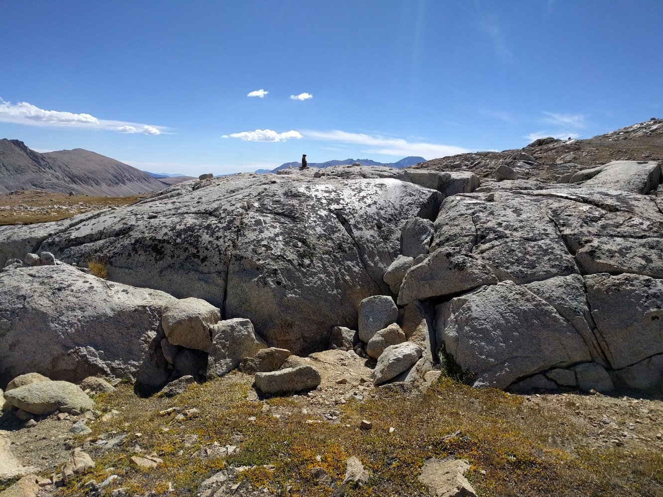
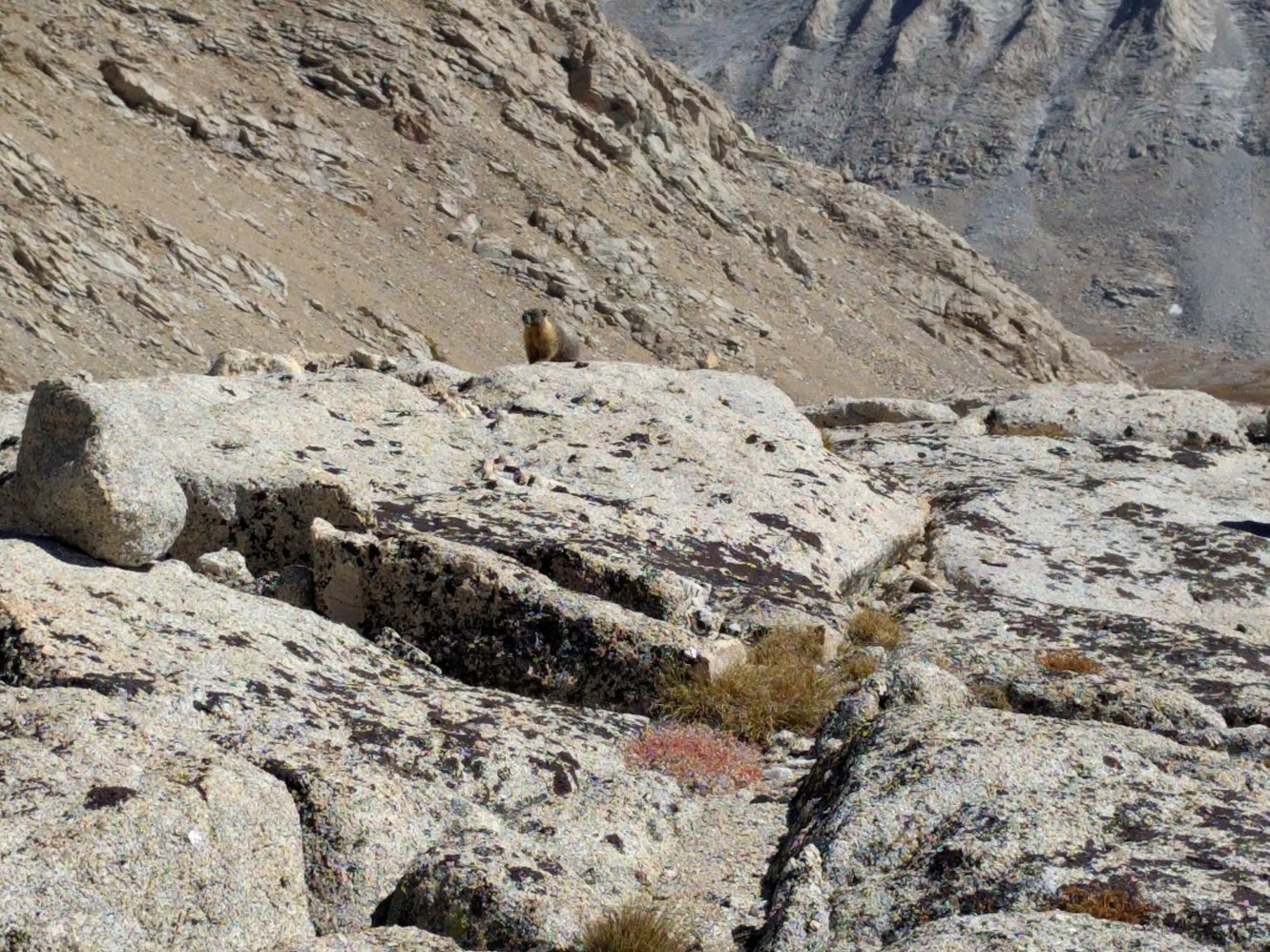
We started the day pretty early and began the long ascent up to Forester Pass (13110 ft). Though it is a lot of elevation gain the entire trail climbs very gradually. We didn’t even notice that we passed Center Basin Creek and soon found ourselves above the treeline. Around noon we reached the Lake at 12.200 ft which was where we originally wanted to camp. Because it was still early and only 900 ft elevation gain and a mile more to go, we decided to push on. The last few switchbacks were rough and it was hard to catch ones breath because of the altitude. Just like Mather or Pinchot Pass, we could see the trail go south for miles through barren landscape before reaching trees again. It was a pretty hot day and that section dragged on forever while we were baking in the sun. At least we ran into a couple of marmots on the way down which cheered us up a bit. Around 4pm we reached a large campsite near the Lake South America Junction and decided to call it a day. After sunset we could hear a pack of coyotes howl nearby before we went to bed.
Day 20 - Lake South America Jct to Crabtree Meadows
8.9 miles
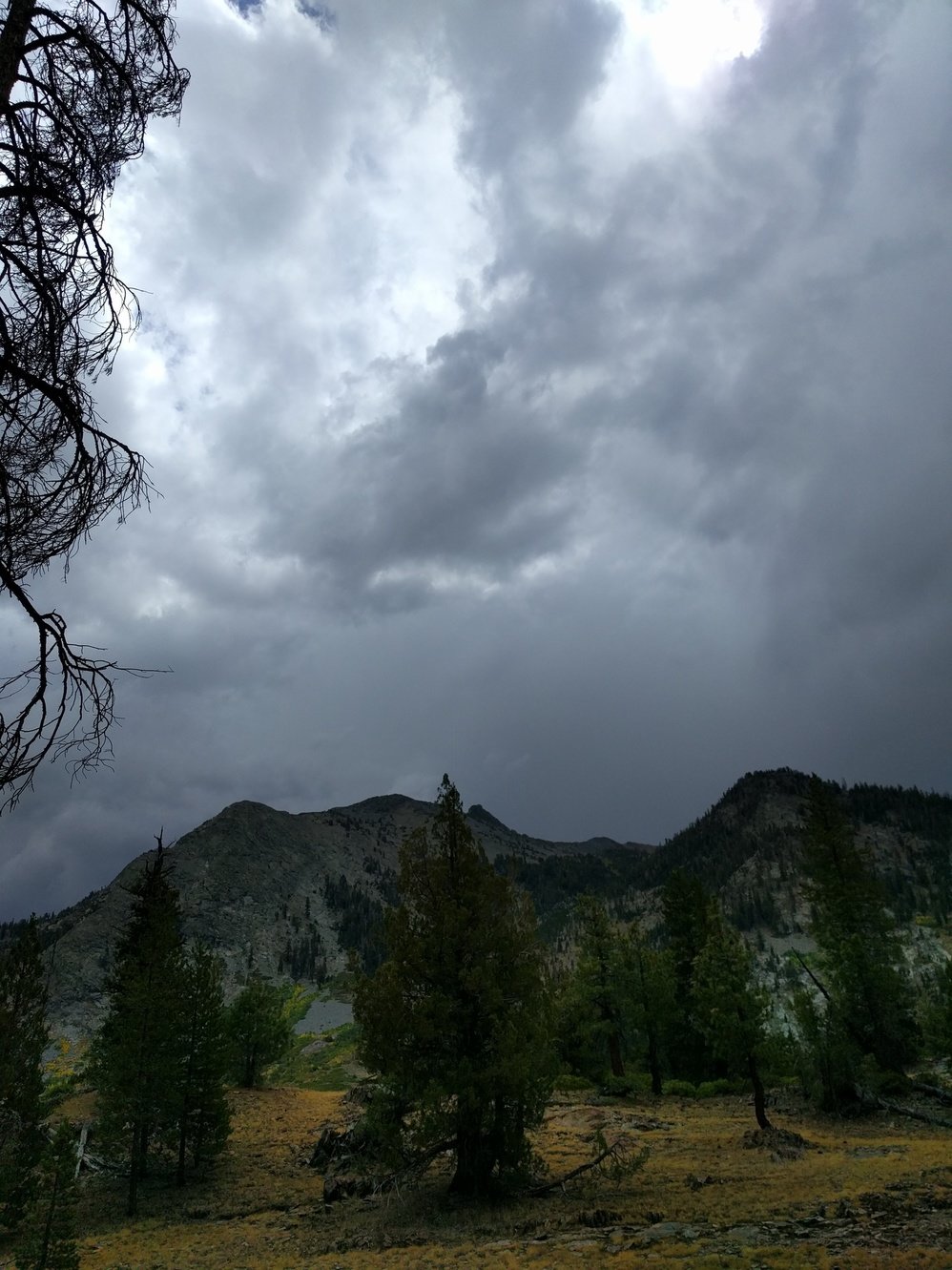
We saw some dark clouds yesterday late afternoon and were worried about the weather, so we got off to an early start. On Bighorn Plateau we saw a coyote in the distance at a lake, but unfortunately no actual bighorn sheep. We made it to Crabtree Meadows Ranger Station around noon to get a weather forecast. The ranger said that there is potential for thunderstorms this afternoon, but it should be clear the next days. We decided to put up camp near the station so we wouldn’t get caught by rain in the afternoon and did some laundry. Shortly afterwards it started to rain and we had to huddle up in our tent with all our belongings. This is one of the times where we are glad that we brought our cheap and bulky tent instead of some fancy backpacker tent. It is bad enough to be trapped in ours let alone one where you could barely turn around in it. When the rain got a little lighter we quickly had dinner outside in rain coats and got back into the tent as quickly as we could afterwards.
Day 21 - Crabtree Meadows to above Guitar Lake
3.4 miles
We woke up to a clear sky, hung our wet clothes back up outside and went back to bed. We had no dry clothes to hike in, so there was no point in waking up early. While our clothes were drying we relaxed and read around our campsite and only started hiking shortly before noon. It didn’t even take 2 hours to reach our campsite for the night above Guitar Lake. The short hike felt surprisingly hard like our bodies are slowly having enough of this. In the afternoon dark clouds returned as well giving us some dramatic views from our campsite. One last climb tomorrow and all downhill from there.
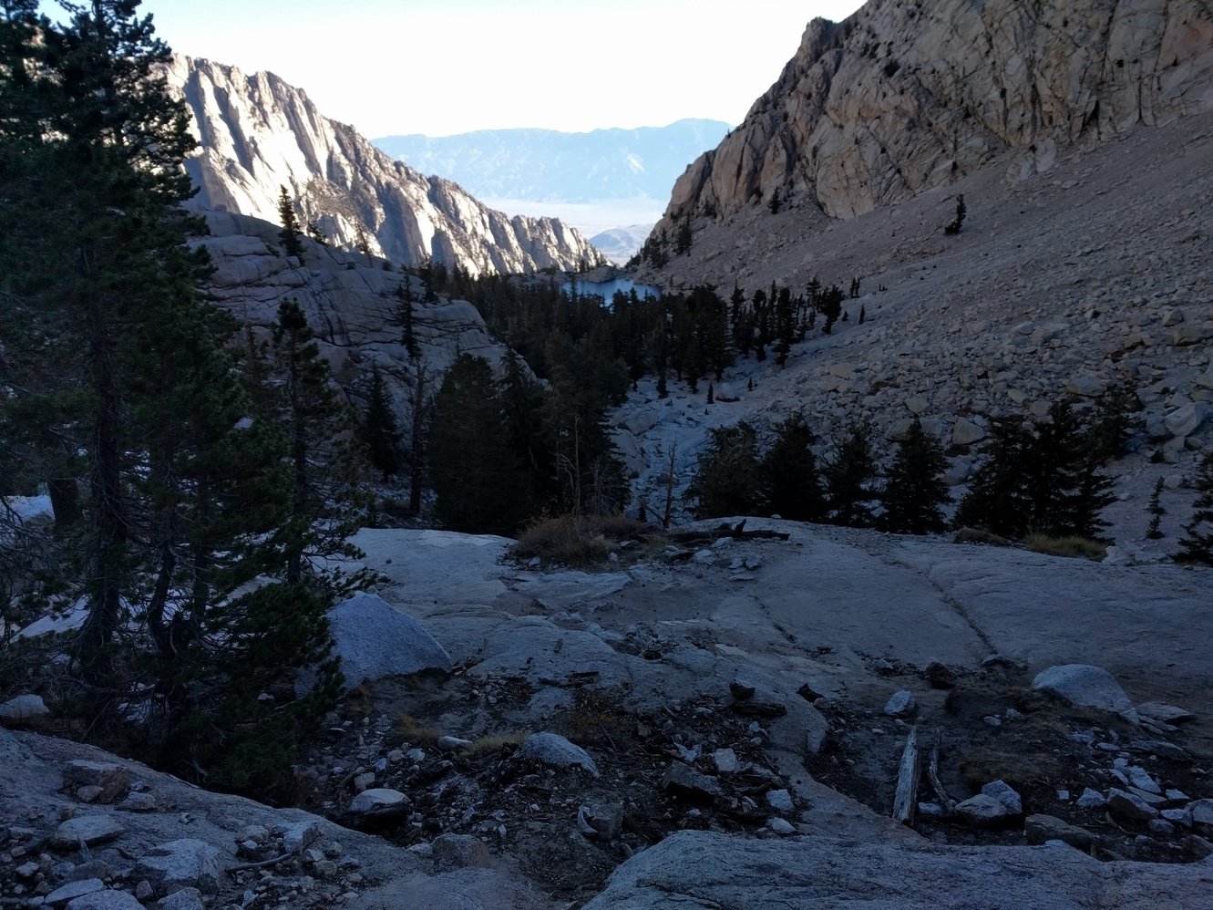
Day 22 - Above Guitar Lake to Outpost Camp
10.7 miles
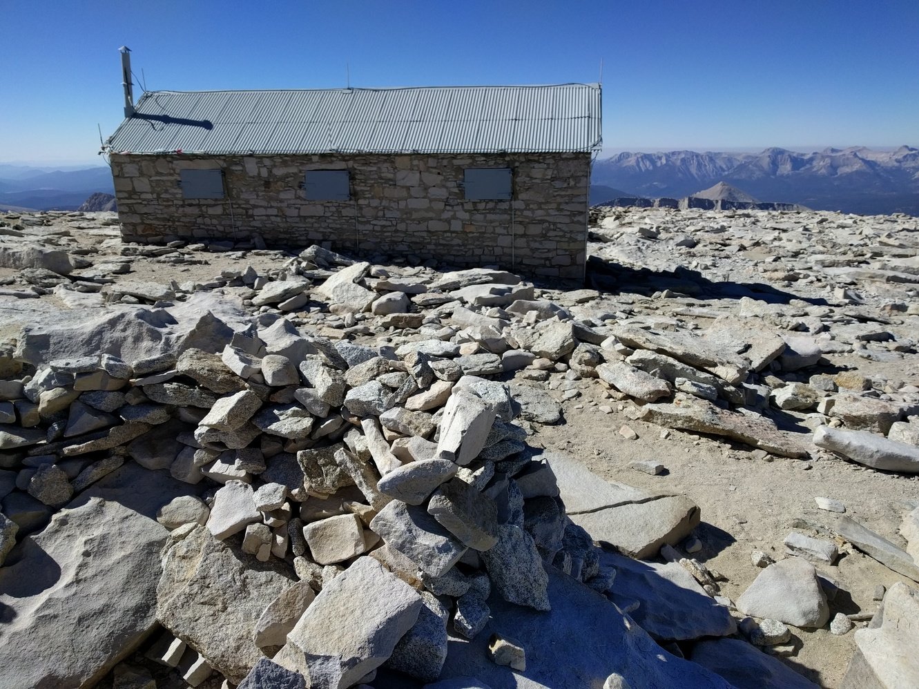
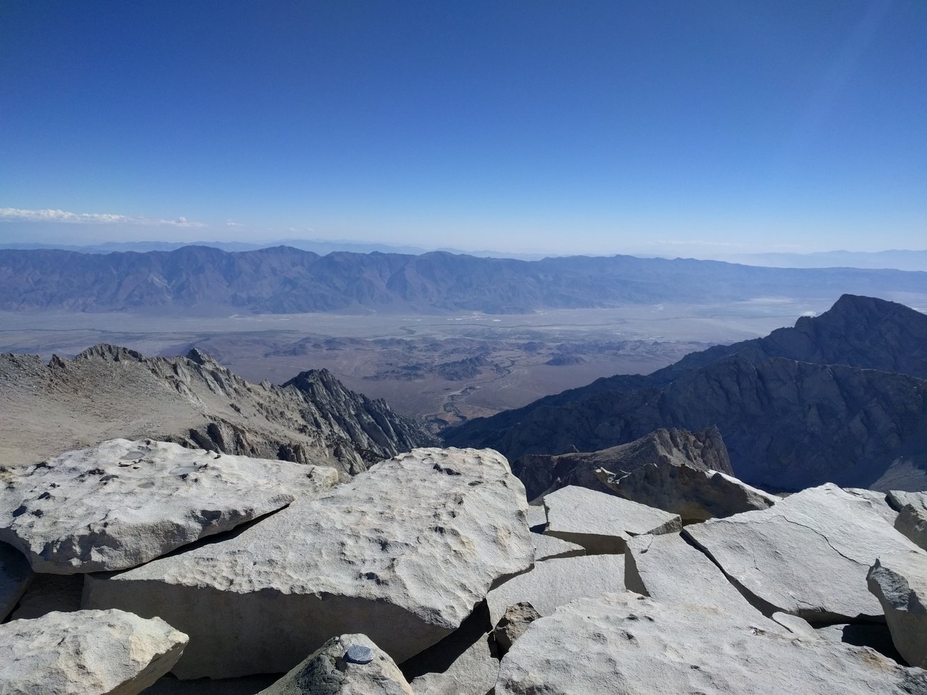
What a day to get over Mount Whitney (14505 ft). The wind got much worse over night and we both got little to no sleep because it constantly felt like our tent will be blown away. After some especially strong gusts in the early morning we decided to pack up and start the day. It was too cold and windy to make breakfast and all our water was frozen. When Megan tried to use the wag bag inside the tent it almost blew over again–she wasn’t entertained. We packed up everything as quickly as we could and started our final ascent freezing and with constant wind gusts.
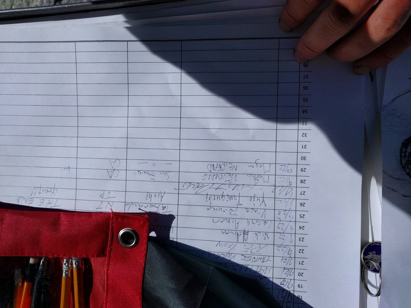
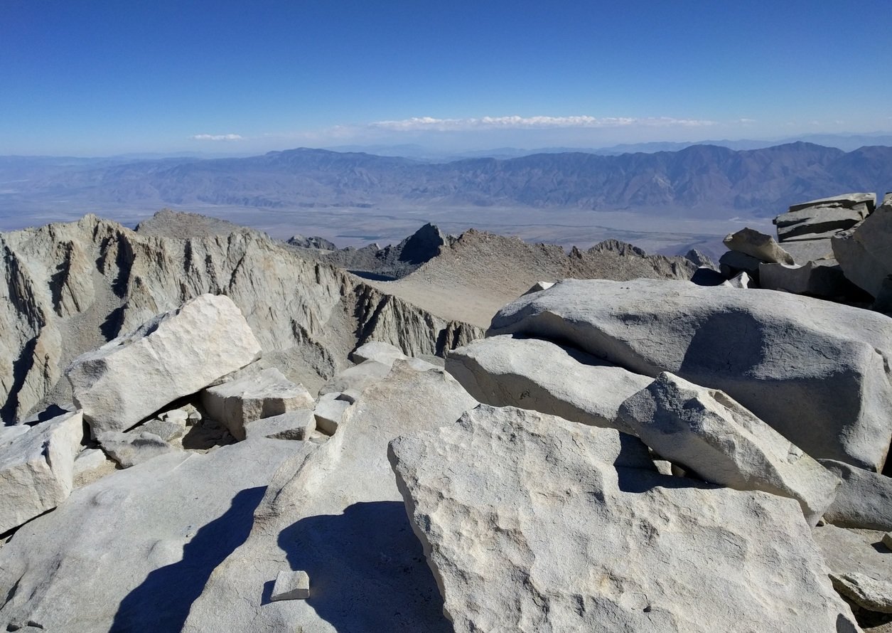
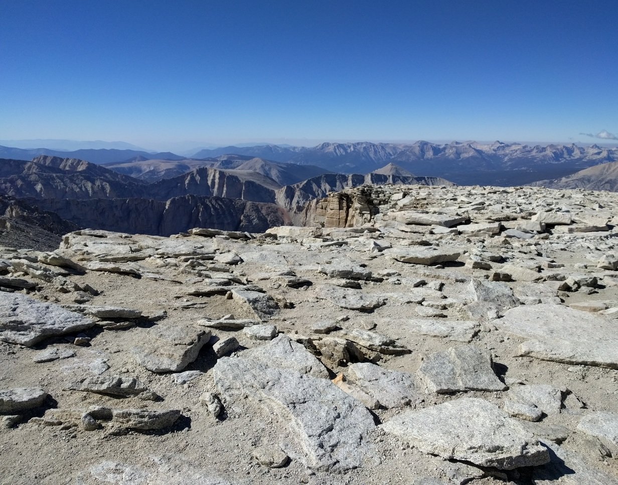
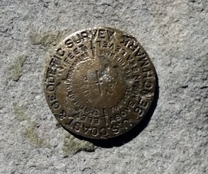
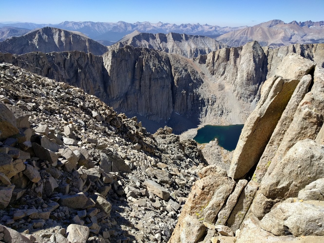
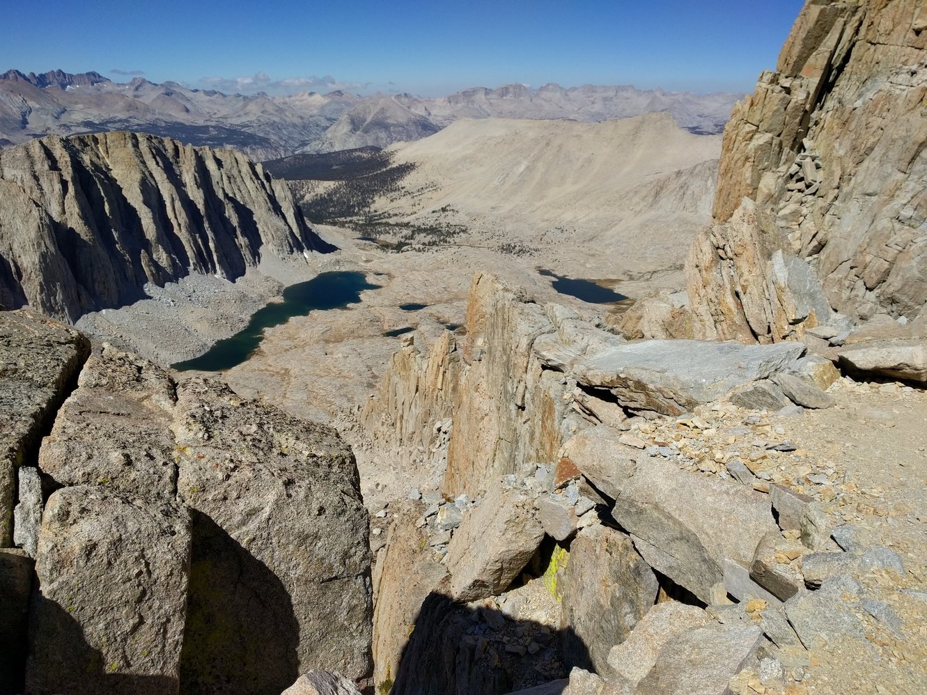
When we finally reached the junction to Whitney Portal and the summit, we weren’t sure if we should even try to summit in these conditions, but in the end we decided to go for it. We left our bags and hiking sticks at the junction, grabbed 2 still half frozen water bottles, and started the trail up to the summit. At least some sections of the summit trail were in the sun by now which helped a little. The trail goes along some pretty steep cliffs, which combined with all the wind gusts was quite scary at times. We reached the shelter at the summit at 10am and immediately went inside of it to get out of the wind without even enjoying any of the views. Markus had a hard time signing our names in the summit register because his hands were so stiff from the freezing cold. We ate a frozen power bar inside the shelter and then decided to start our descent. It was too cold to take a lot of pictures, but the view in all directions and down the drops was spectacular. The few photos Markus took he triggered with his nose because he didn’t want to take his hands out of his gloves.
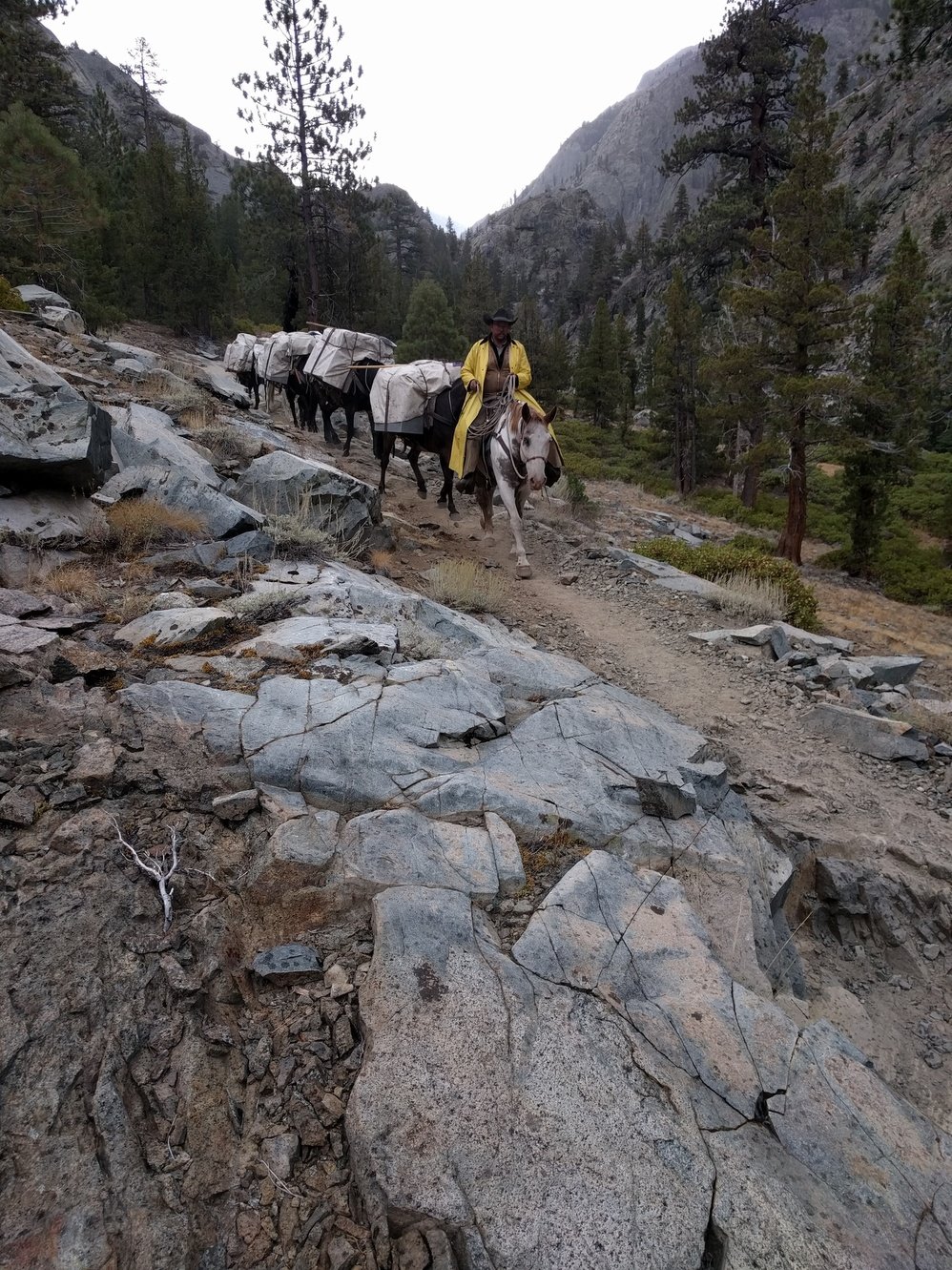
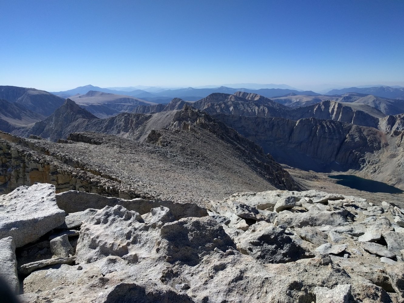
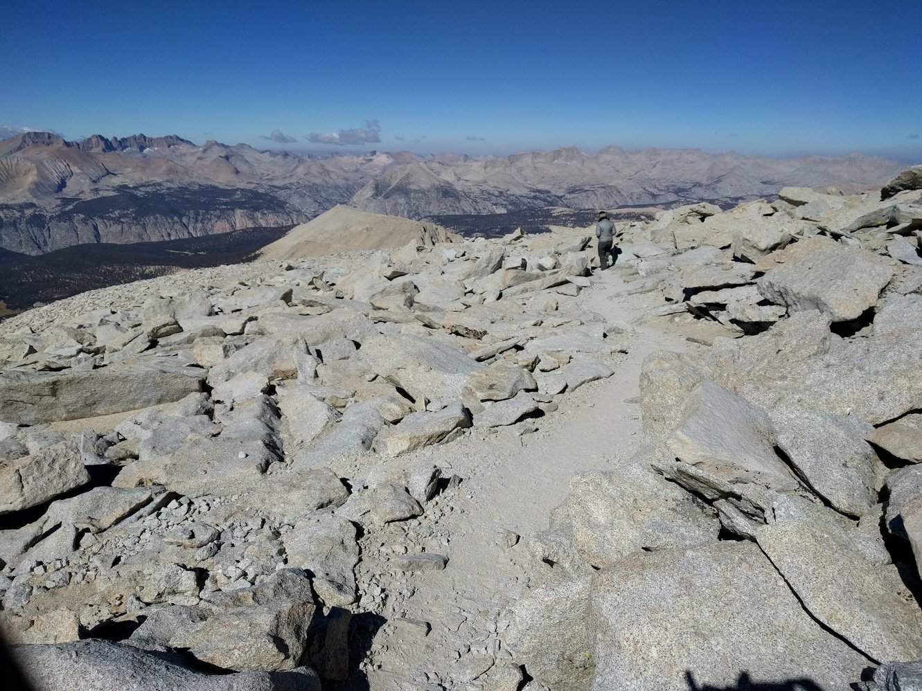
On the way back down a seemingly endless stream of day hikers passed by us. They all moved really slowly and looked beat up and getting out of their way delayed our descent quite a bit. From the junction where we left our packs behind it’s only a couple hundred feet to Trail Crest (13670 ft), the highest and last pass of the JMT. The weather on the south side of the pass was much better and we finally felt like the worst was behind us. It still took quite a while before we finally warmed up. We had lunch at Trail Camp, but because it was still pretty windy we decided to push on and camp at Outpost Camp. Outpost Camp is below the tree line and we didn’t want to risk another terrible night almost being blown off the mountain. We reached our last campsite of the trip around 3pm. It was a little bittersweet, but the weather today was bad enough that both of us are looking forward to finishing tomorrow. Only 3.8 miles to Whitney Portal left.
Later on we found out that the National Weather Service had issued a weather warning for that day with wind gusts of up to 55 mph.
Day 23 - Outpost Camp to Whitney Portal
3.8 miles
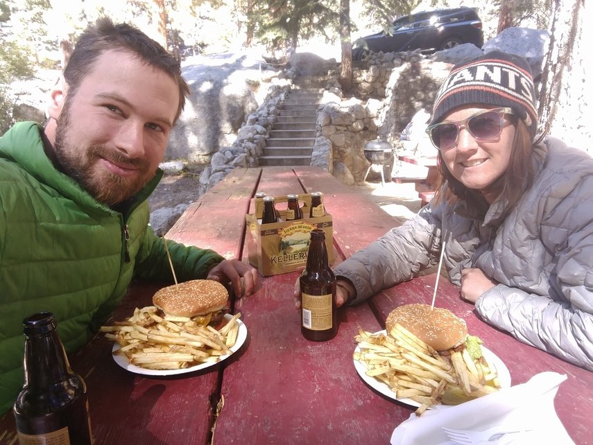
It was another awfully cold morning, but knowing that we were almost done made it more bearable. We packed up all our belongings and rushed down towards Whitney Portal. Those last 3.8 miles went by real quick. We made it to the Whitney Portal shortly after 10am and finished our hike. The little cafe at the portal was still serving breakfast at this point, but our heart was set on burgers and beer so we waited until 11am to get them. Best meal we ever had and the six-pack we had helped pass the time until Megan’s parents graciously picked us up.