The John Muir Trail - Part 1
Since first hearing about the John Muir Trail from the Movie “Mile, Mile and a Half” we wanted to do the trail ourselves. With a year of travel coming up we finally had the time to embark on this epic 200+ mile hike and cross this item off our bucket list.
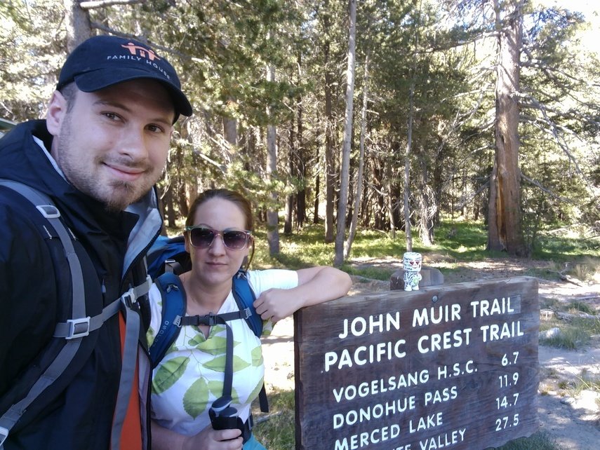
Day 1 - Tuolomne Meadows to Lyell Fork Bridge
9.7 miles
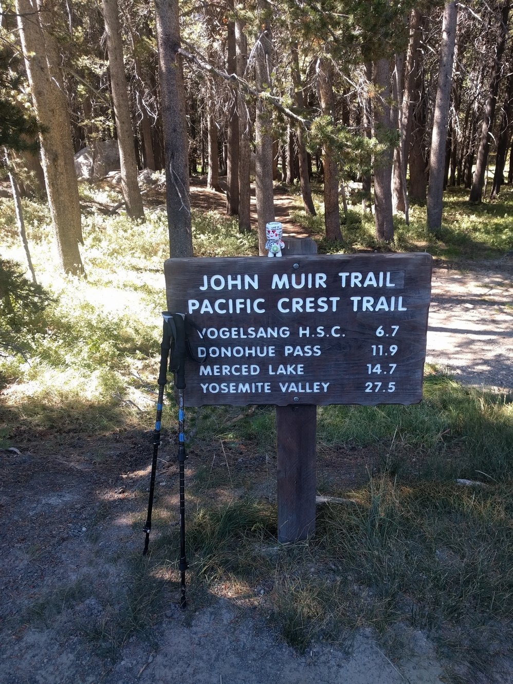
We spent our last night in civilization at Halfdome Village eating pizza and drinking some beers with friends from Germany, Markus and his girlfriend Julia, who were finishing up a trip in the U.S. In the morning we took a bus for 2.5 hours to reach our trailhead at Lyell Canyon, this meant we had a bit of a late start. If we had to do it again we’d probably spend an extra night at the backpacker campground at Tuolomne Meadows. This would make for an earlier start and your body would have more time to adjust to the altitude.
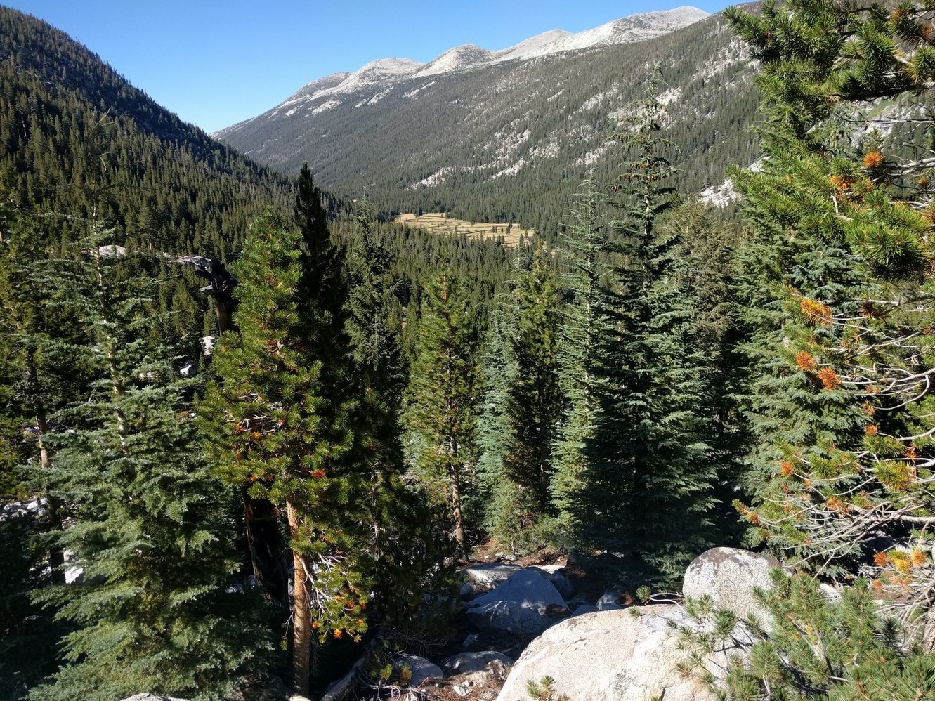
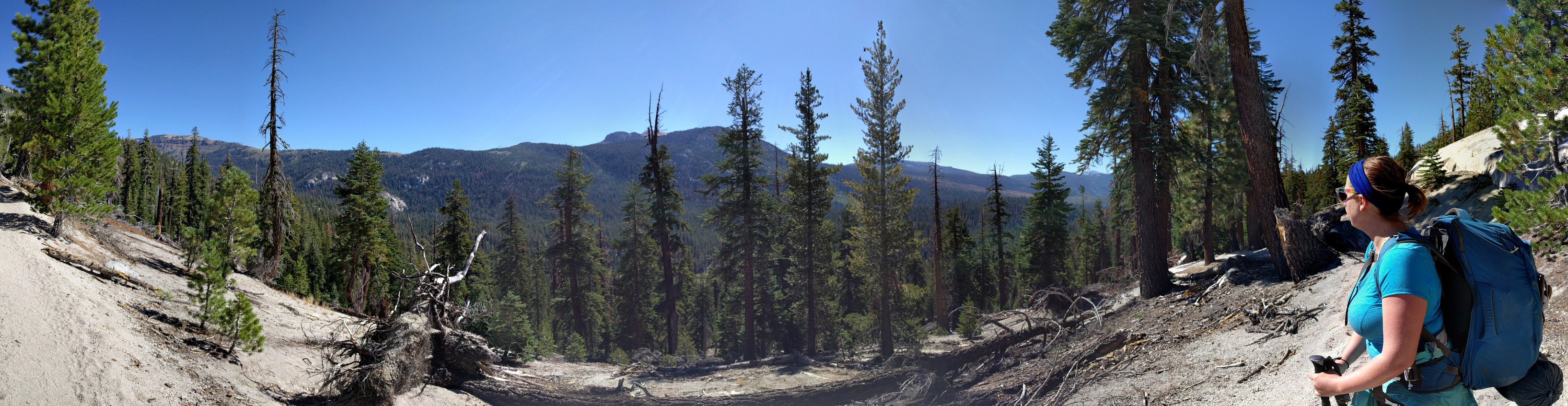
When we finally started around 11am we were already hungry, but we didn’t want to waste any more time and decided to hike at least a few miles before a lunch break. The trail was pretty flat, but the heavy pack and altitude made it feel like we were walking uphill the entire time. After lunch we felt better for a while. Every food break also meant that we’d no longer have to carry that food which made it even better. Around 3:30pm we reached Lyell Fork and took a break. From there it was only 1.2 miles and 600 ft elevation gain to our goal for the day. Those 1.2 miles really ended up kicking Markus’ butt. The Heavy pack and the altitude really got to him and he had to take a lot of breaks on the way up. At least the views overlooking Lyell Canyon were spectacular which made those breaks much more pleasant.
Once we arrived at the Lyell Fork Bridge most camping spots were already taken. We had to settle for one very close to the creek. The NPS Ranger that gave us our wilderness permit the day before really drilled into us that we have to camp at least 100 ft away from water and our current spot is close to exactly that distance from it. For numerous reasons we gave him the trail name “Drill Sergeant Ranger.” We were a little paranoid we’d get in trouble, but ironically a Ranger camped next to us and confirmed it was fine. She also took some trash that Megan found near our site which was nice because it meant we didn’t have to carry it all the way to Red’s Meadow.
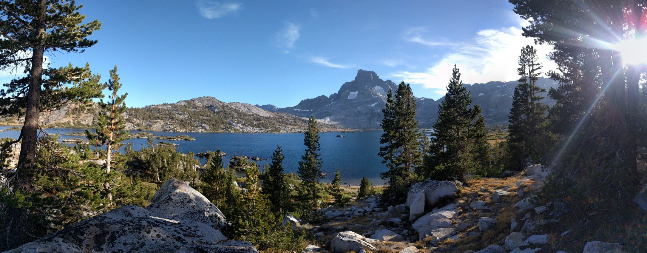
Day 2 - Lyell Fork Bridge to Thousand Island Lake
10 miles
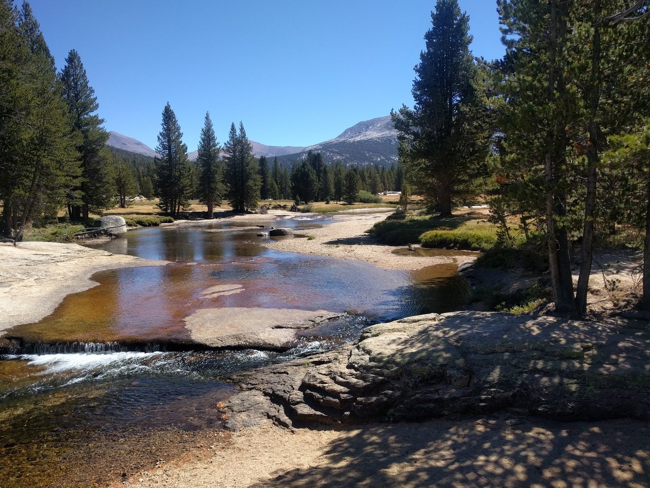
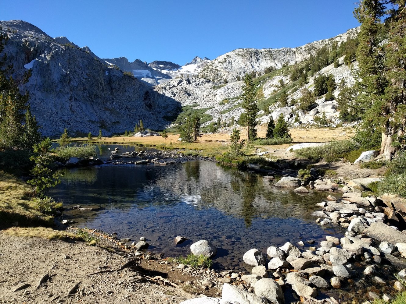
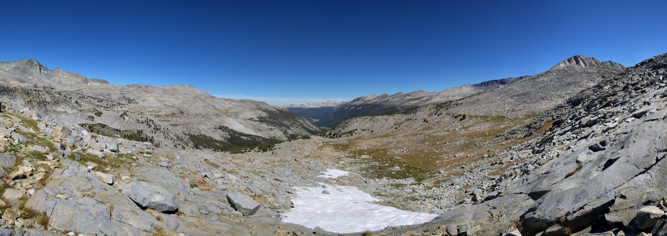
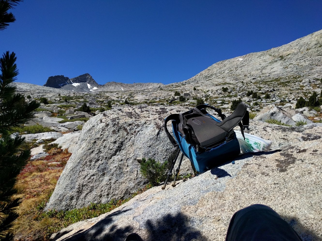
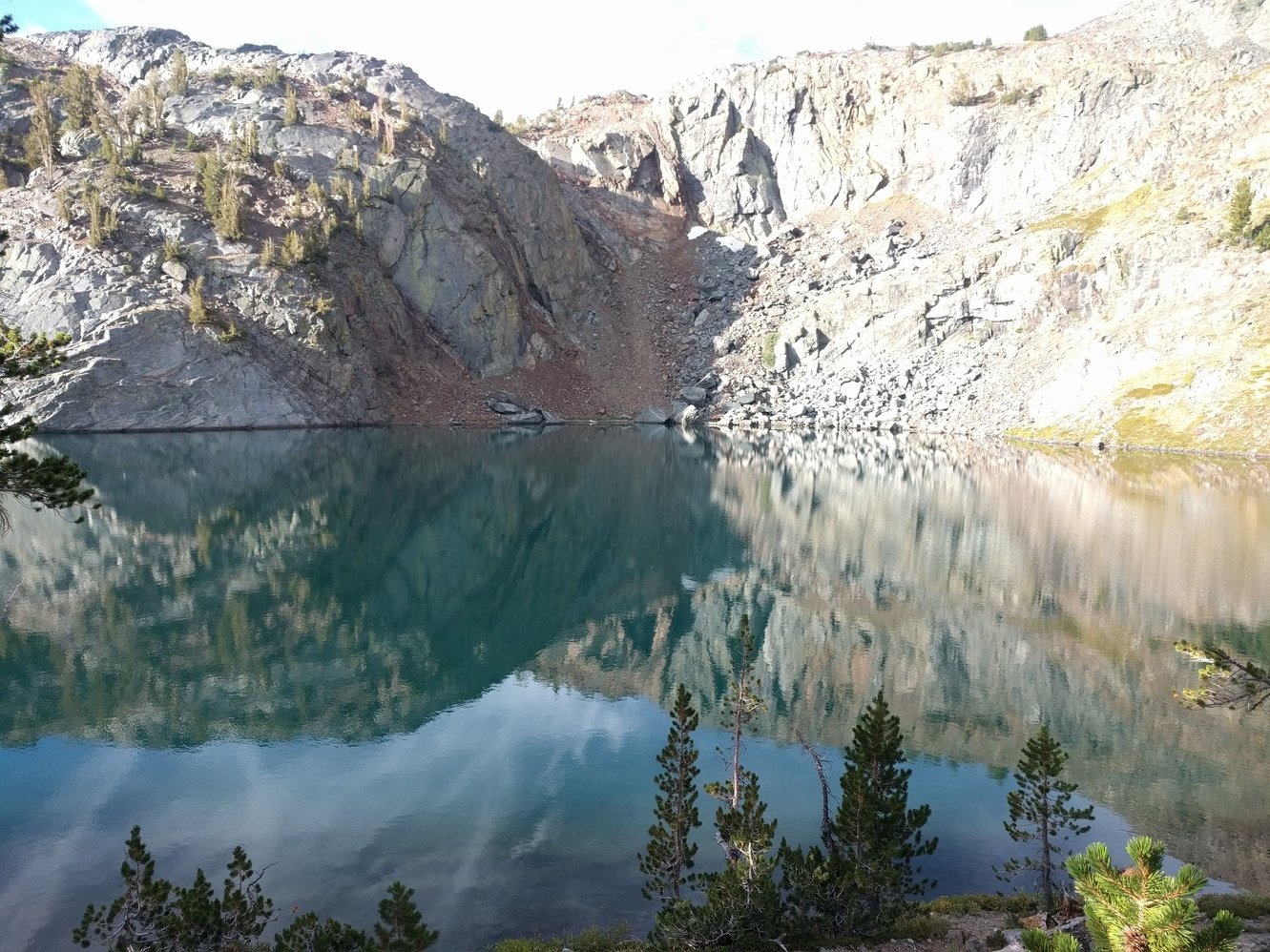
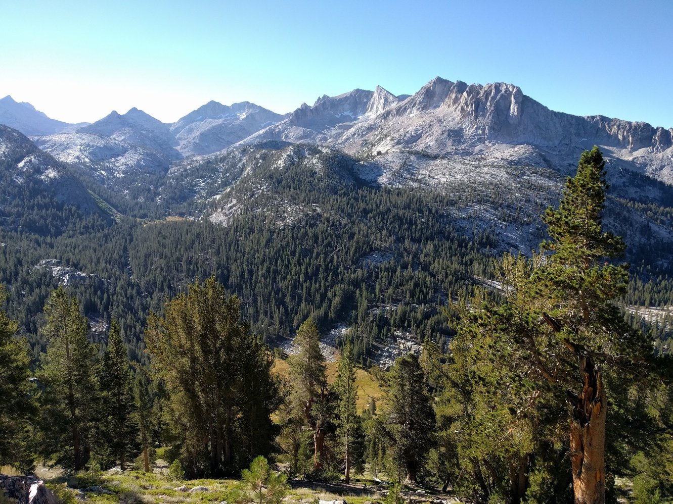
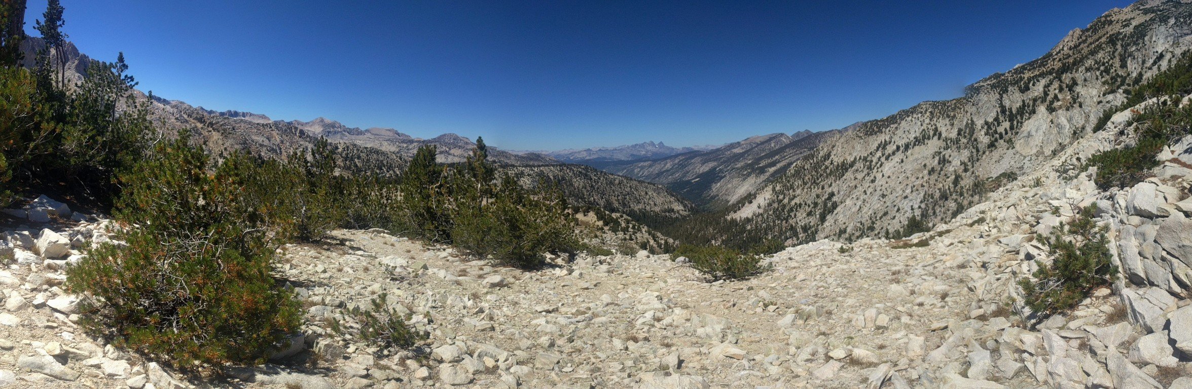
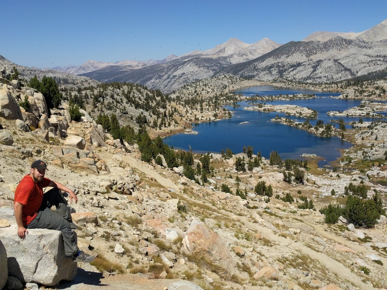
We started hiking at 8:20am and made good progress initially. The ascent to Donohue Pass (11060 ft) is broken up into 3 steep sections. We felt pretty good for the first two, but Markus had a hard time on the last one and needed to take a lot of breaks again. He was also passed by Dave, a 68 year old Australian, that we’d run into on and off again almost the rest of the trail.
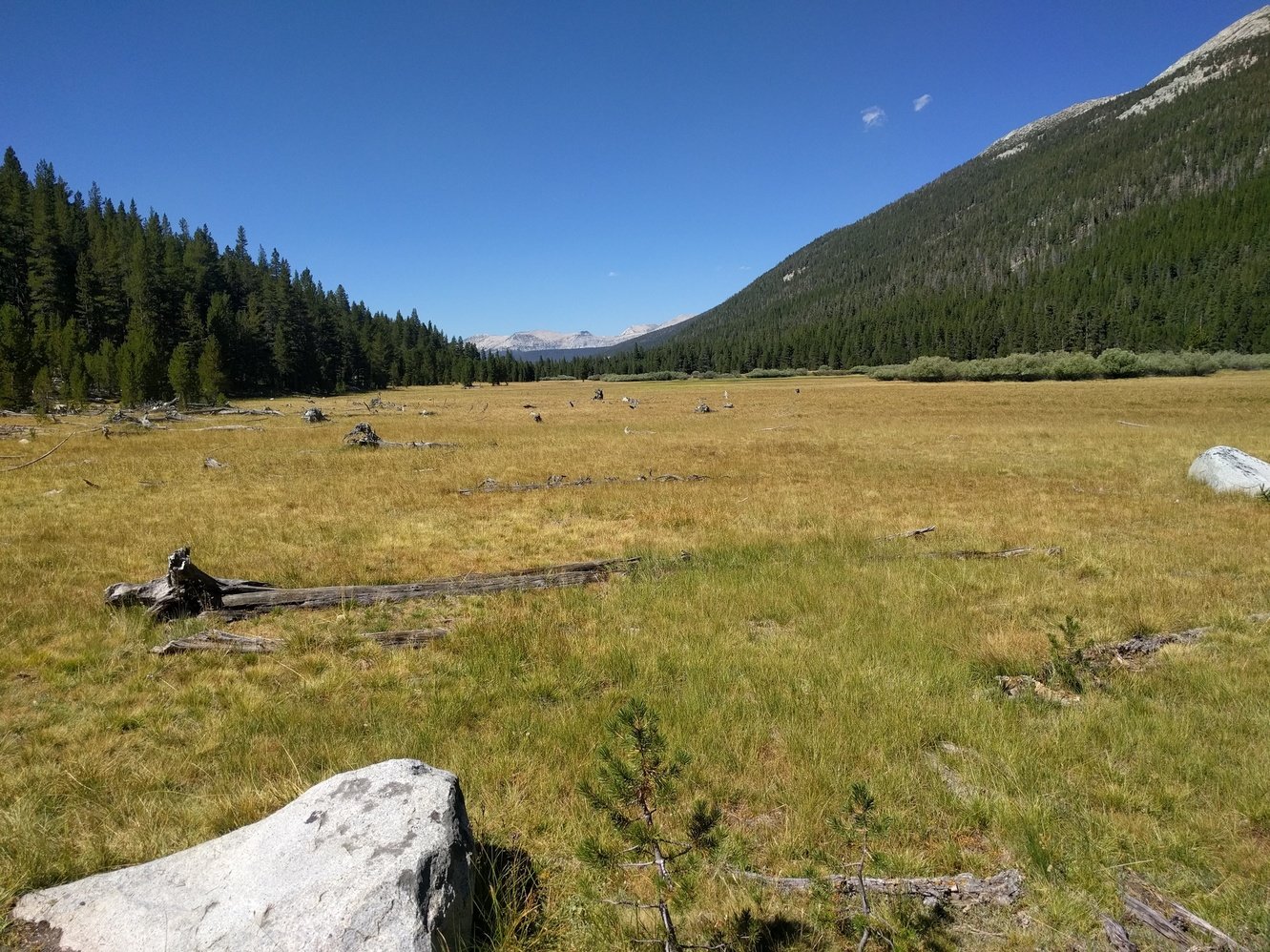
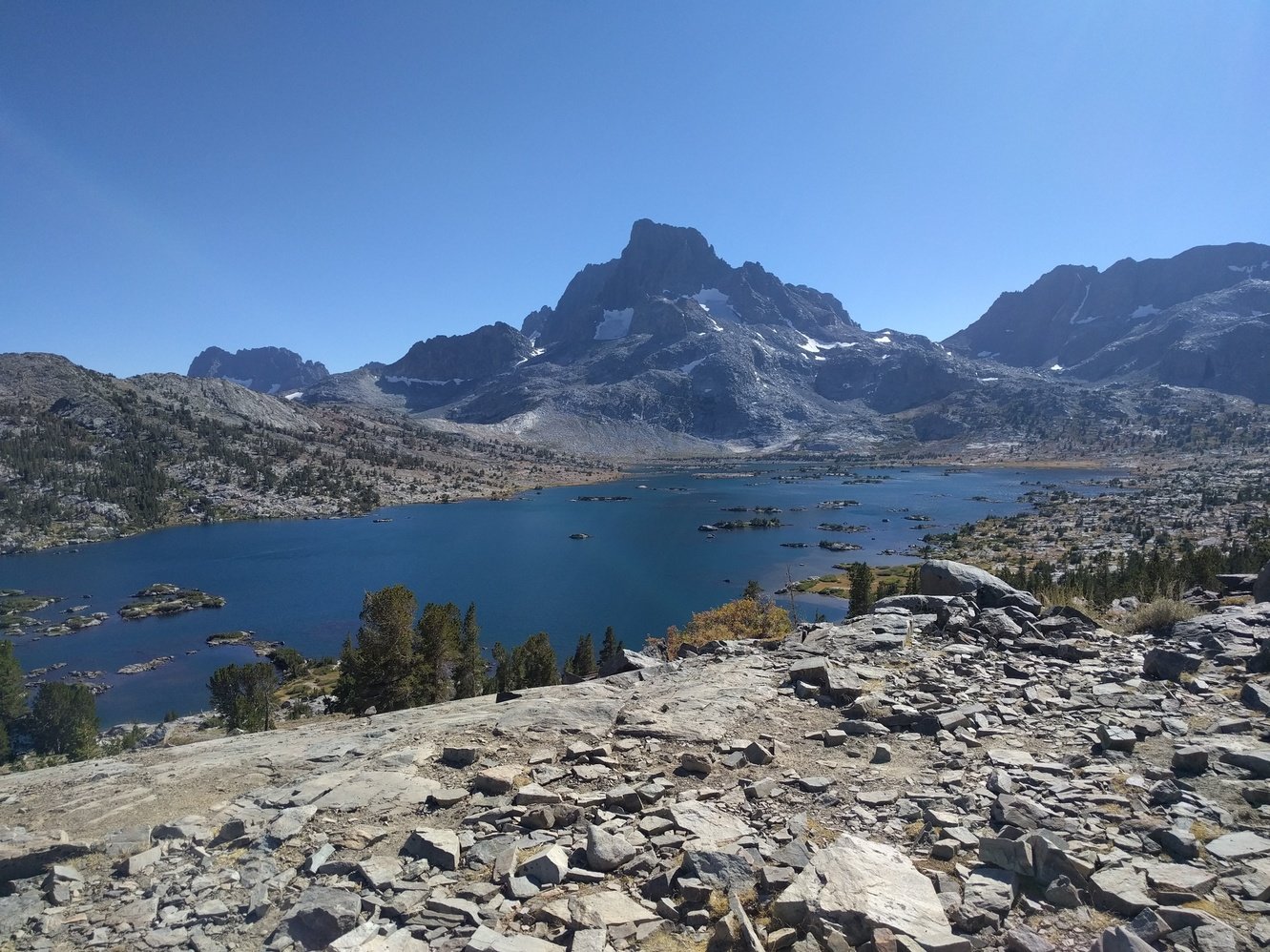
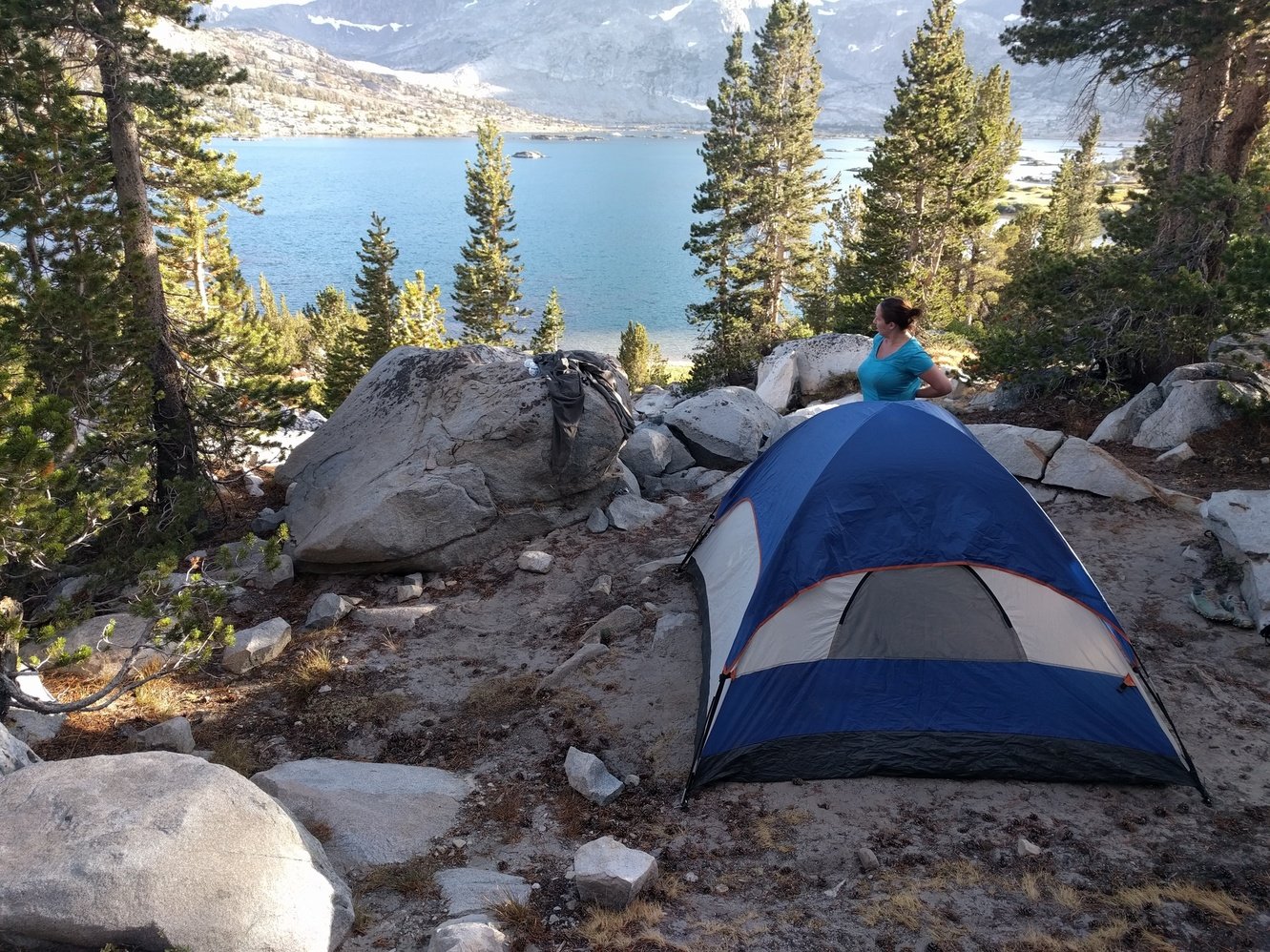
After the pass things were supposed to be easy for the rest of the day but the descent from it was painful as well. It felt like it took forever to reach the bottom of Island Pass despite it only being 3.8 miles. Island Pass (10200 ft) is not even 600 ft elevation gain, but with an empty gas tank at the end of the day it dragged on forever. So did the roughly 2 miles after the pass to get to Thousand Island Lake junction. Unfortunately, camping isn’t allowed near the inlet so we had to walk another half a mile along the shore to find a camping spot.
We almost settled for a pretty crappy spot near the trail when another backpacker that had gotten lost on the way back to his spot pointed us to a real nice spot at higher ground with a spectacular view over the lake. We nicknamed him the “Campsite Fairy”. It took 8 hours to hike 10 miles today and Markus passed out with a headache.
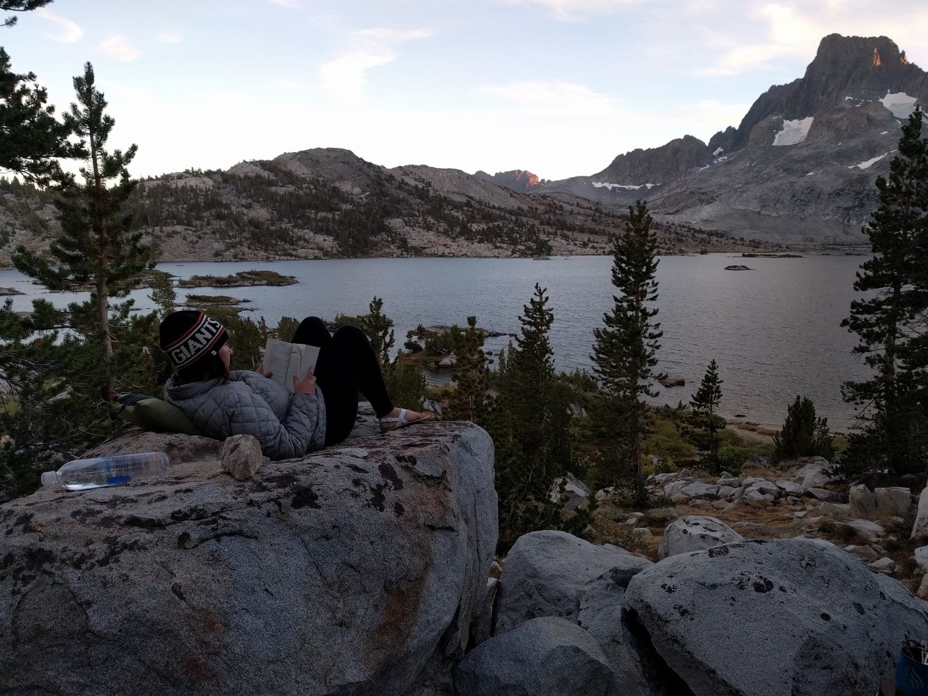
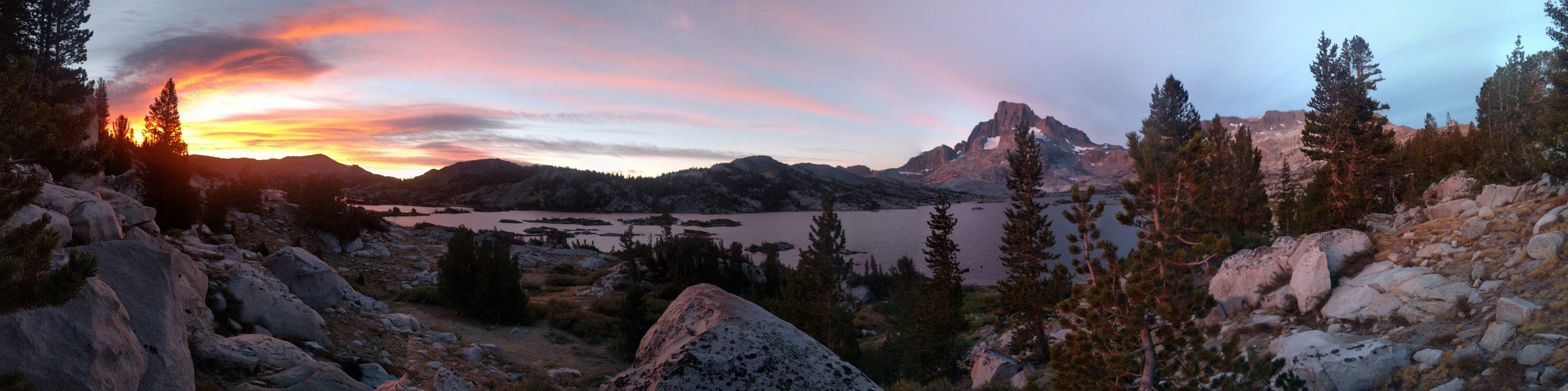
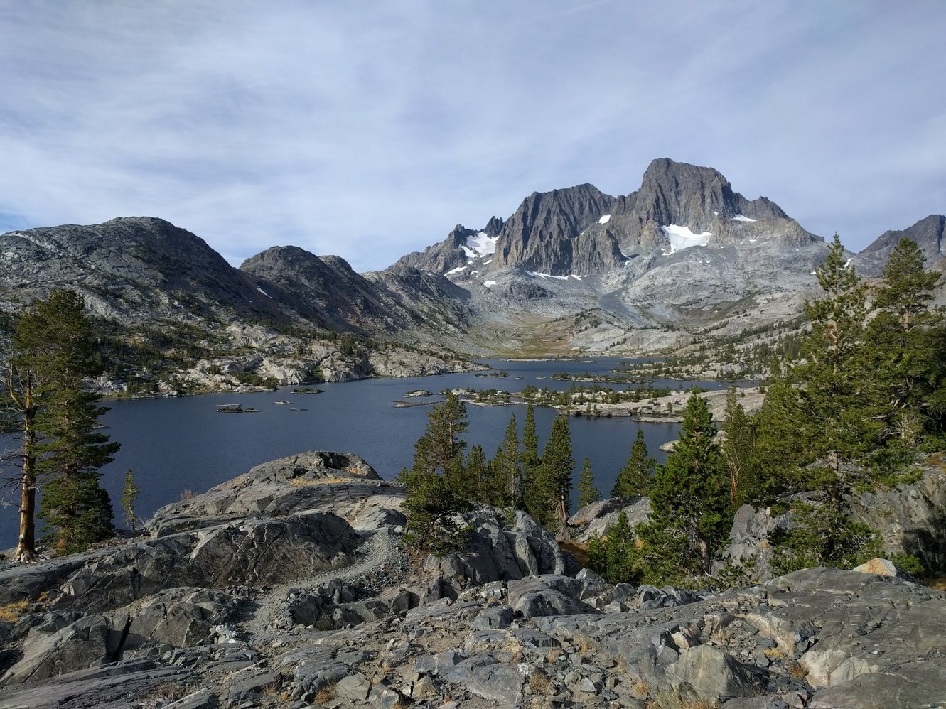
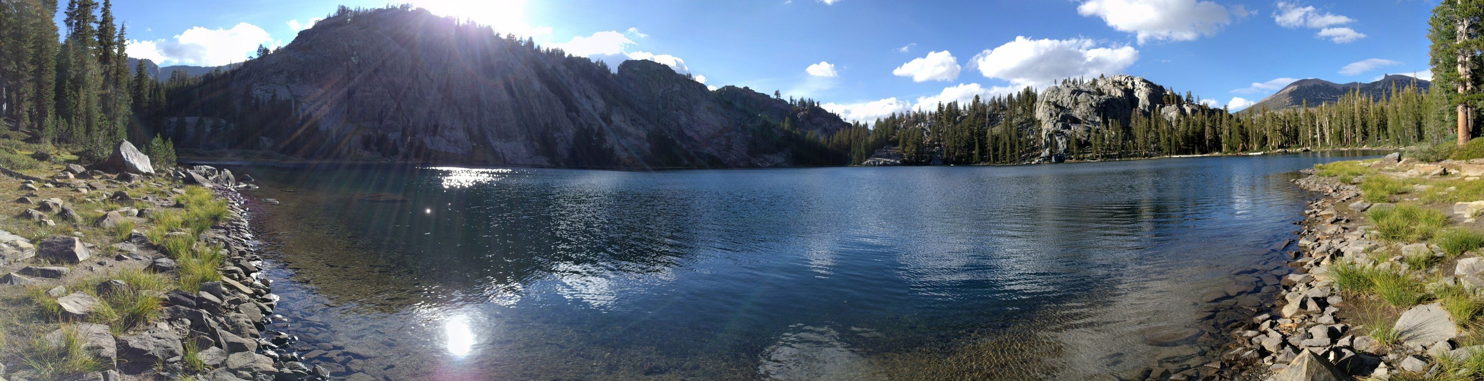
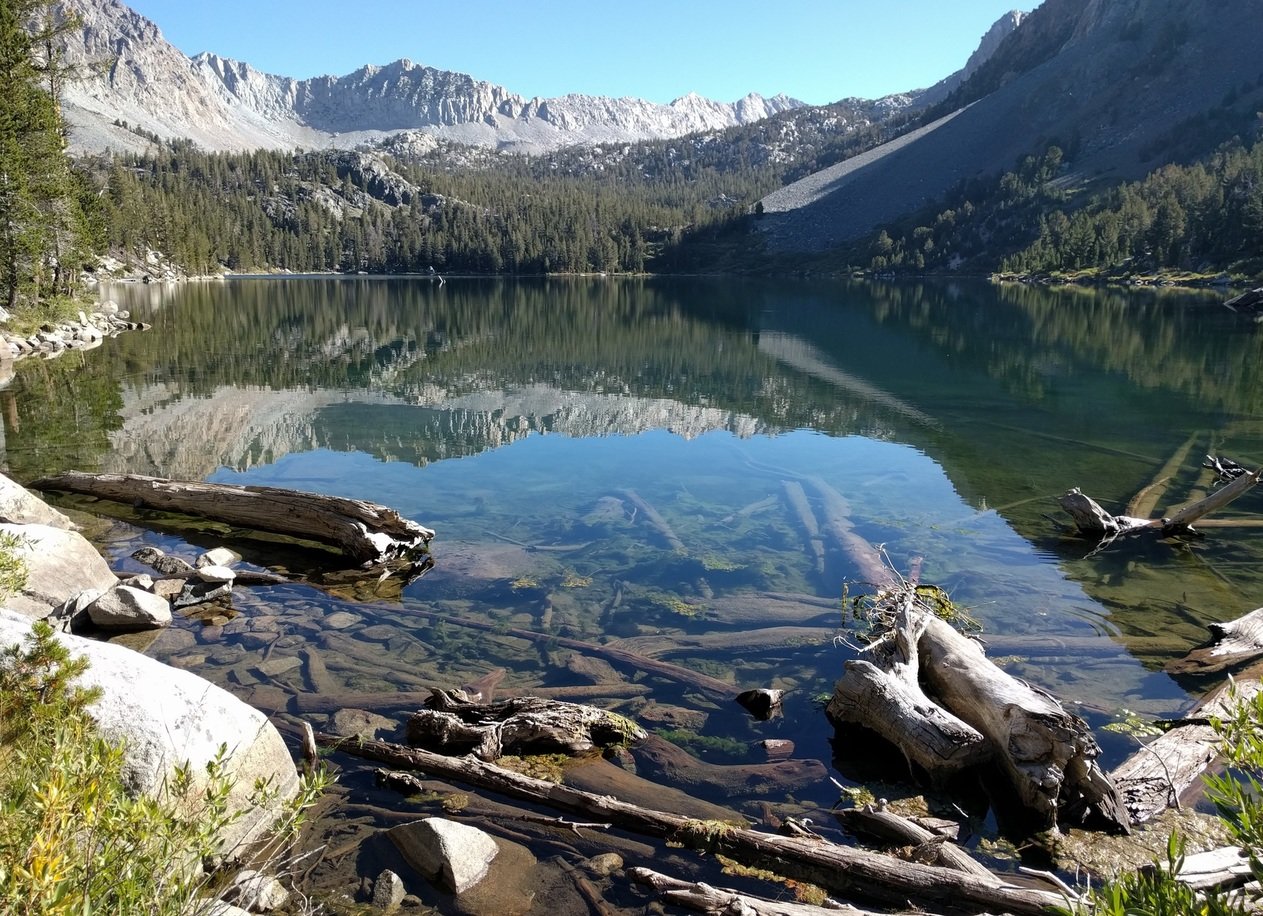
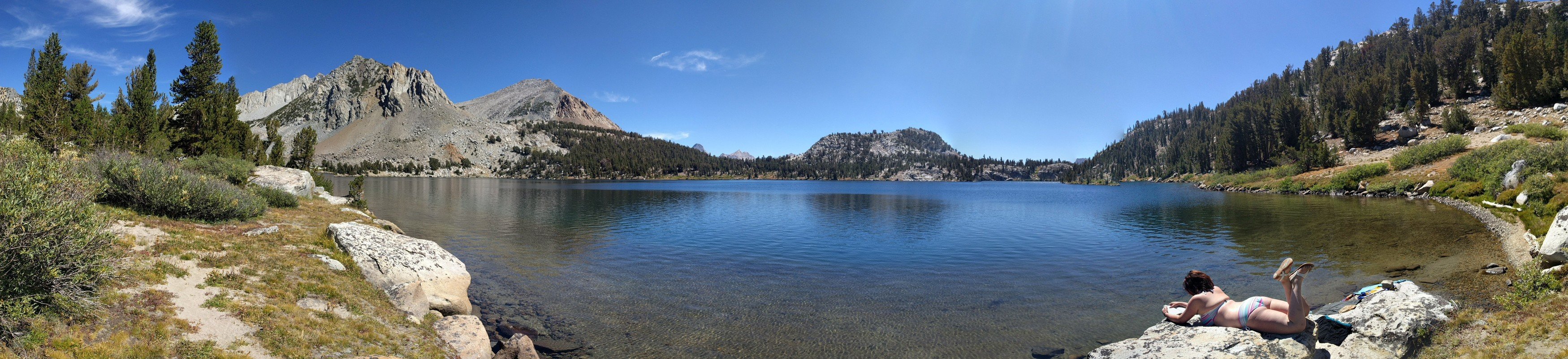
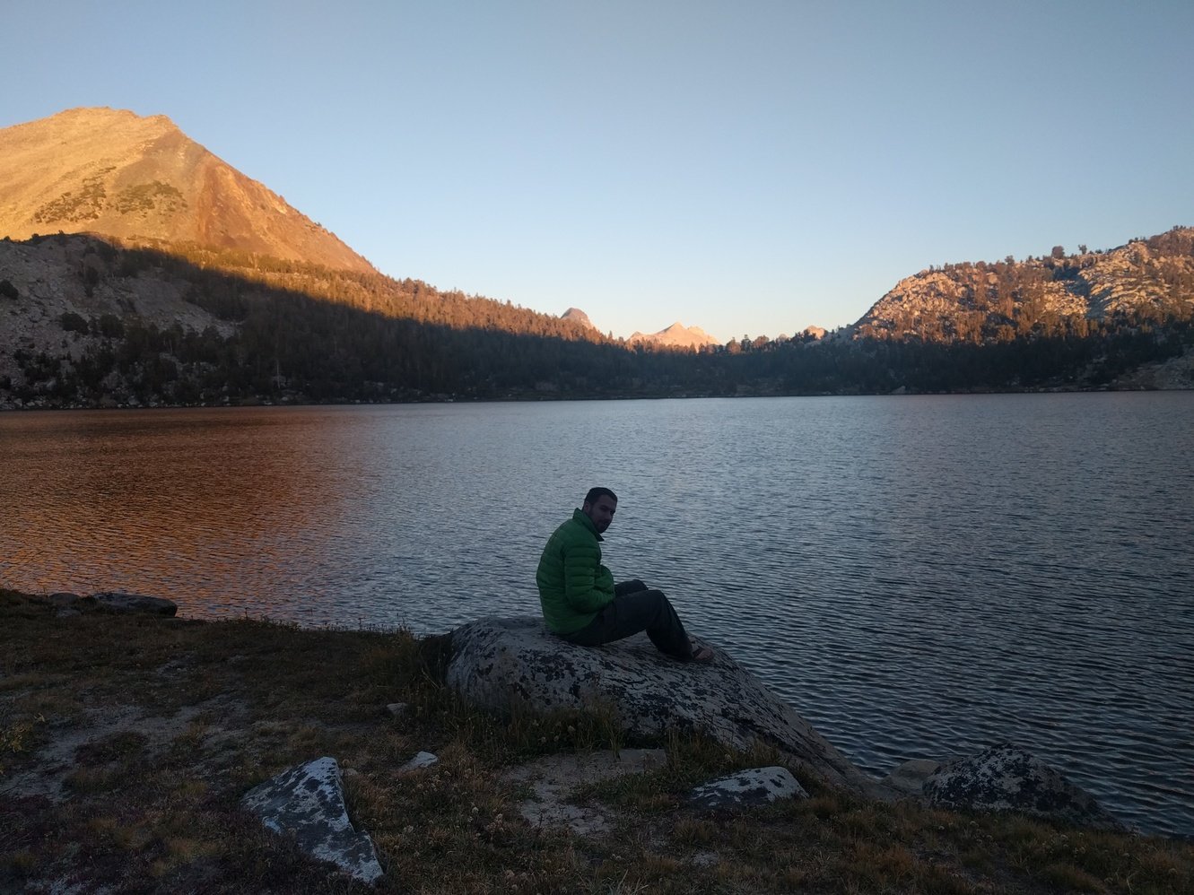
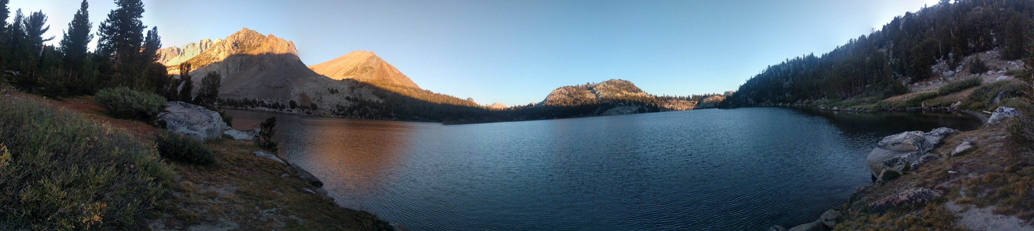
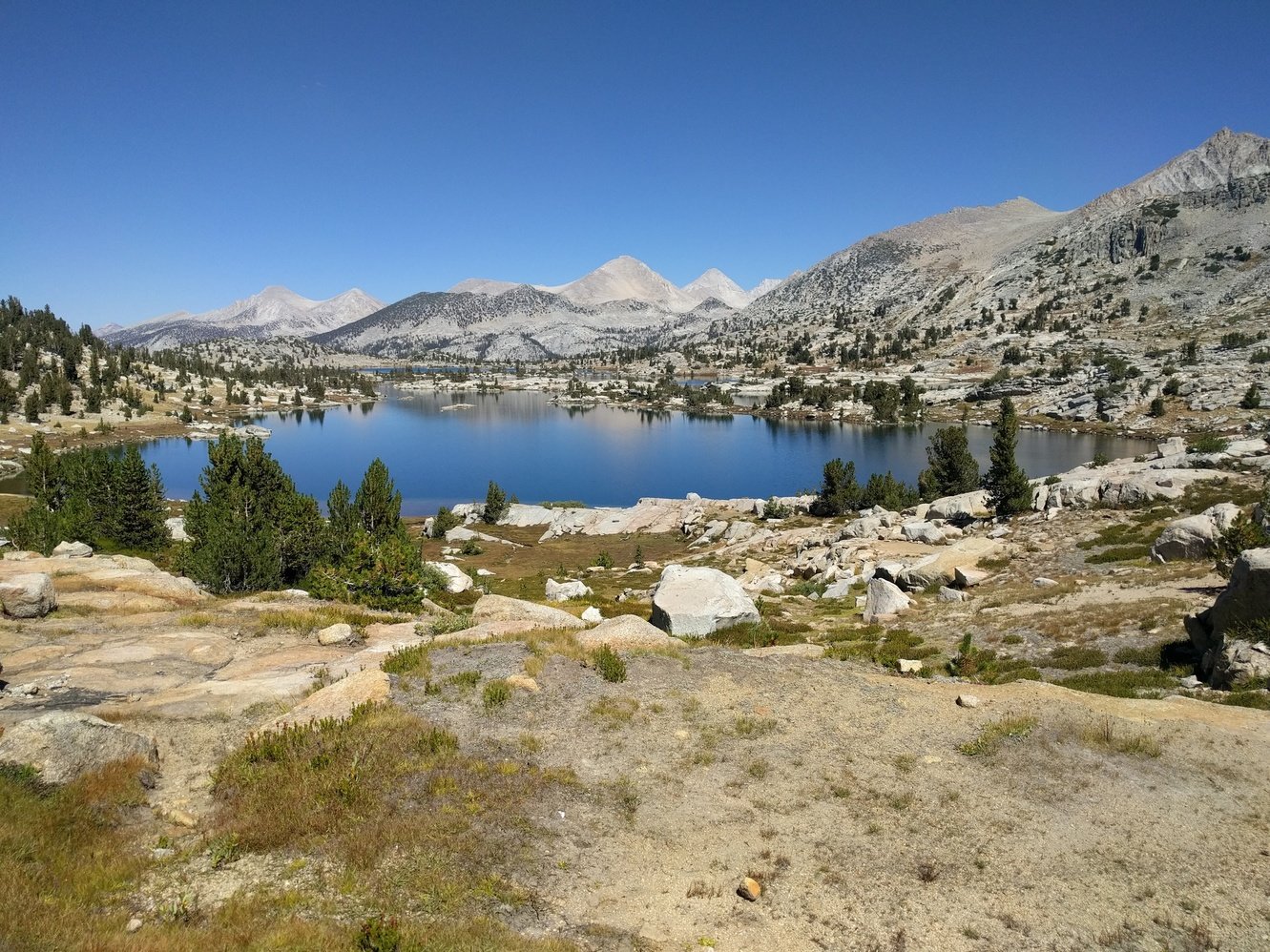
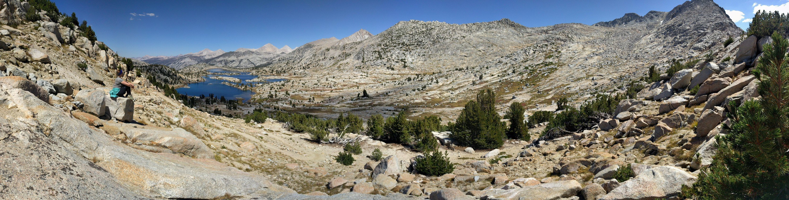
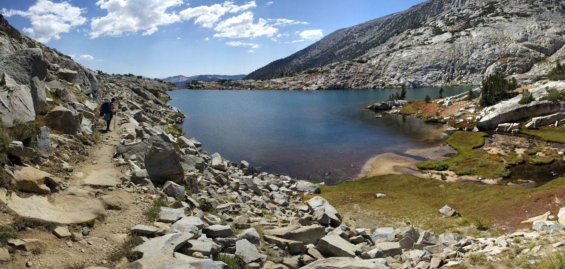
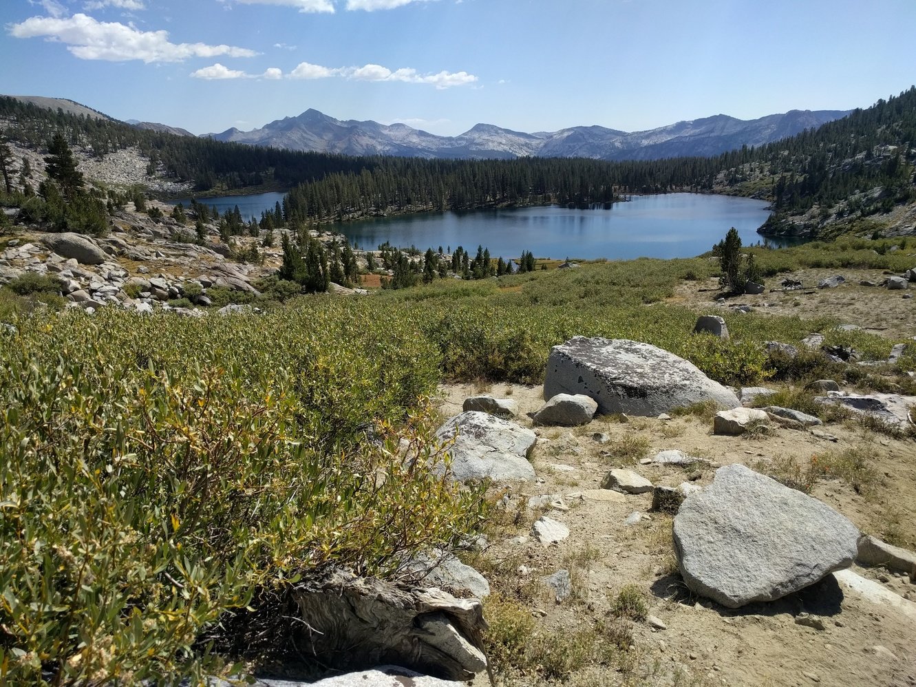
Day 3 - Thousand Island Lake to Rosalie Lake
8.2 miles
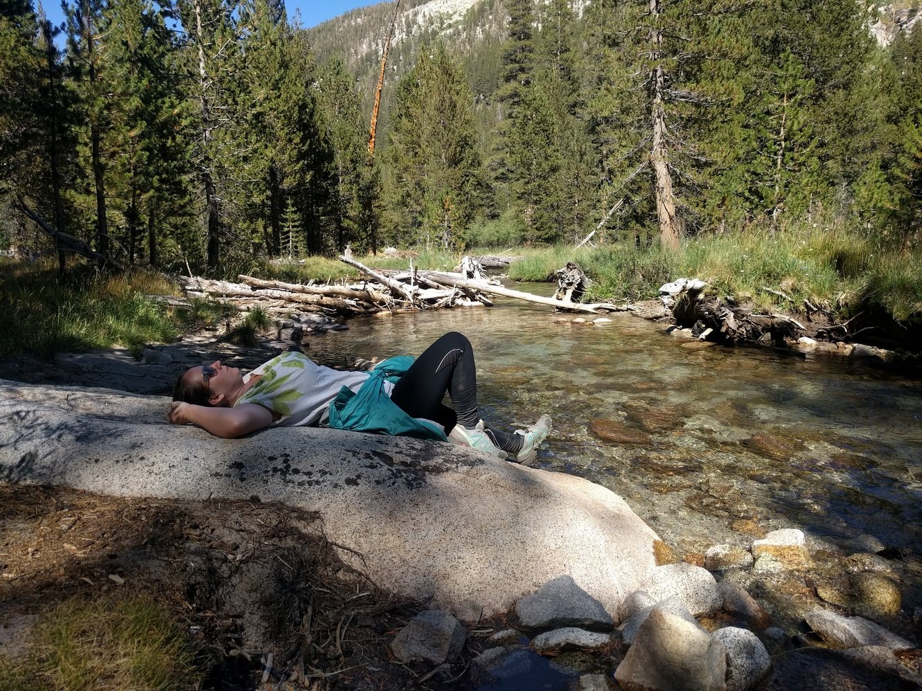
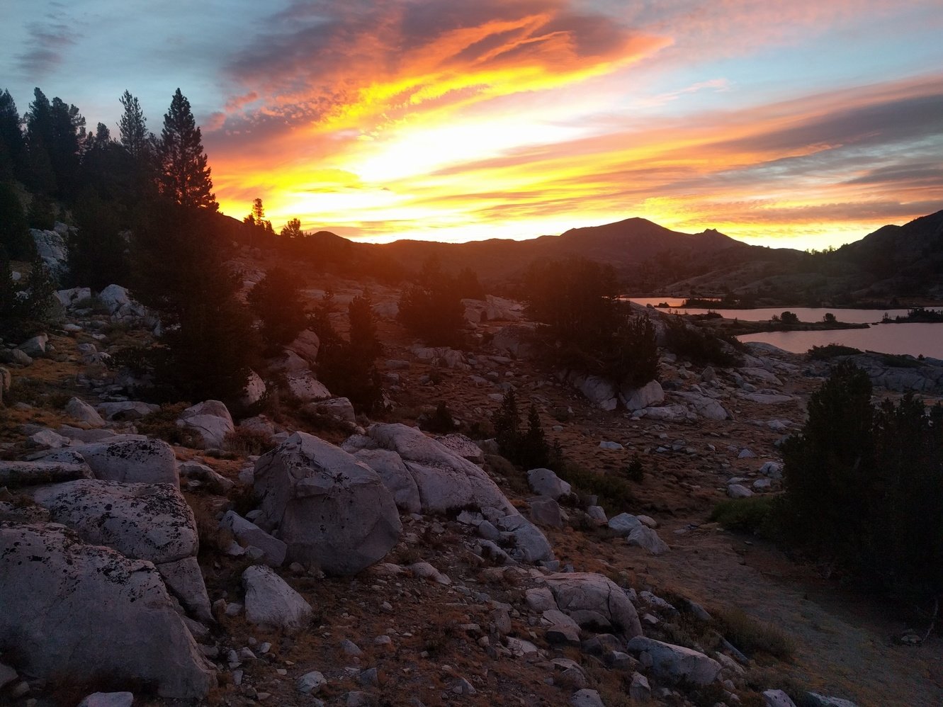
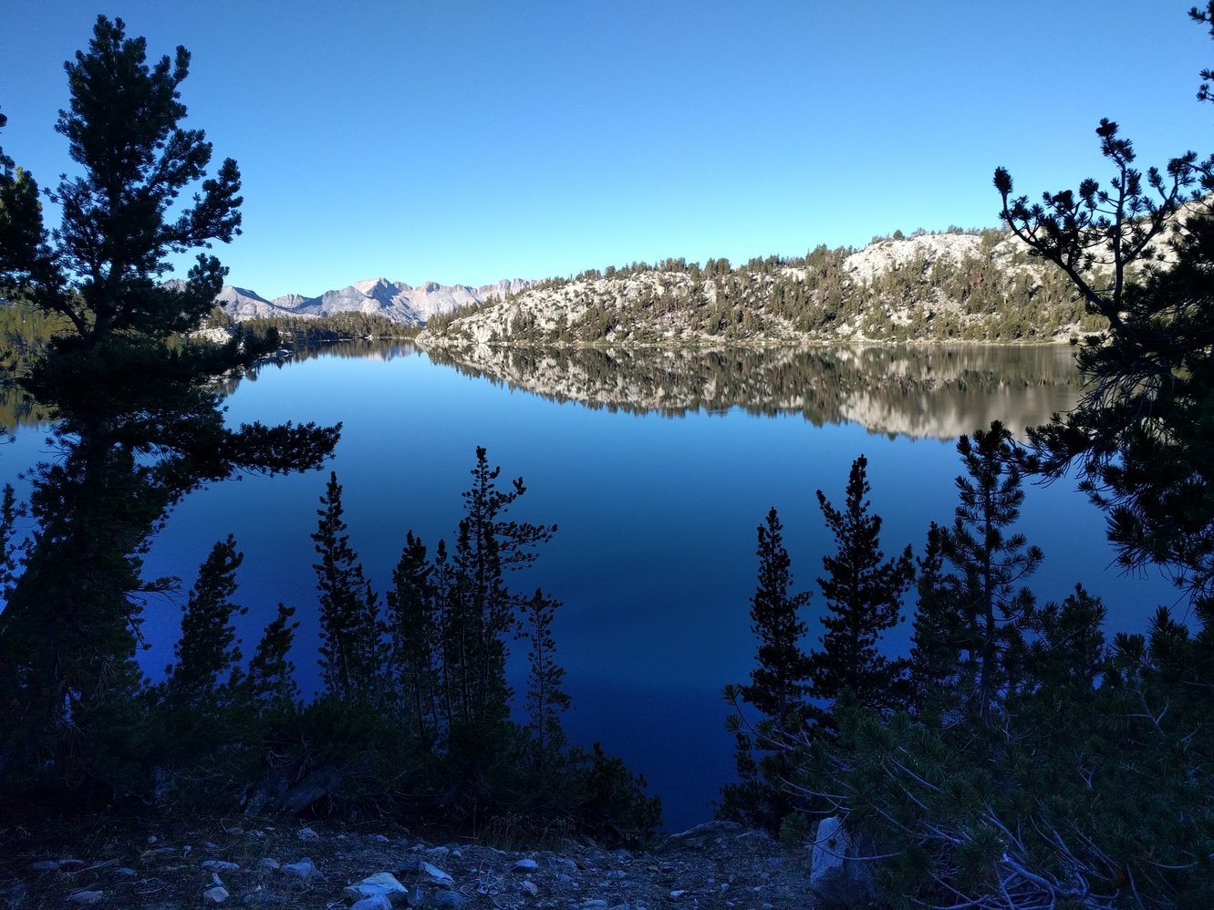
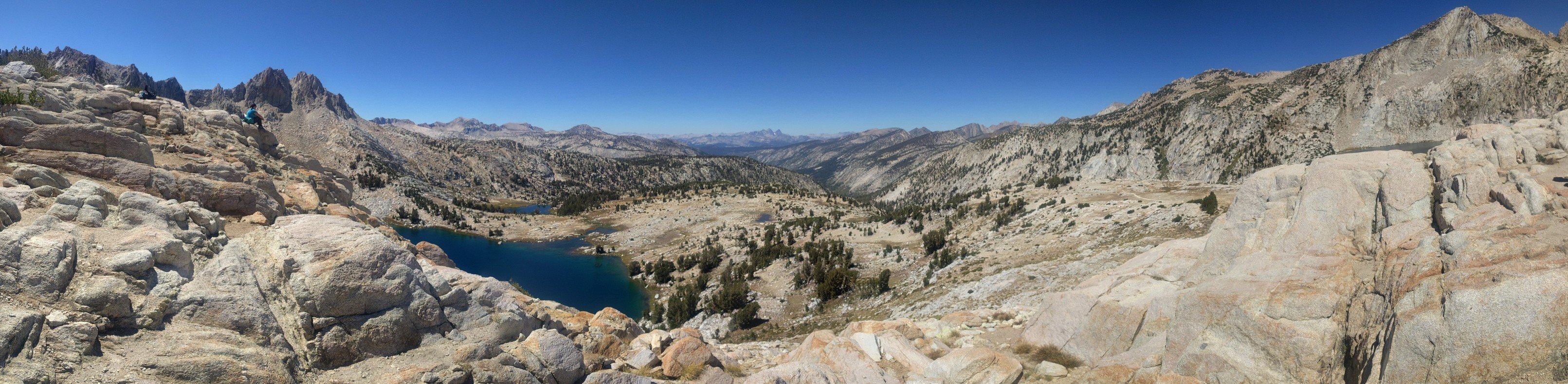
The day started with a gorgeous sunrise over Thousand Island Lake. We broke camp pretty quick and hit the trail shortly before 8am. It seems like we’re getting better at the whole routine. Unfortunately, Megan felt quite ill so we took it very slowly–at least it wasn’t a very long day.
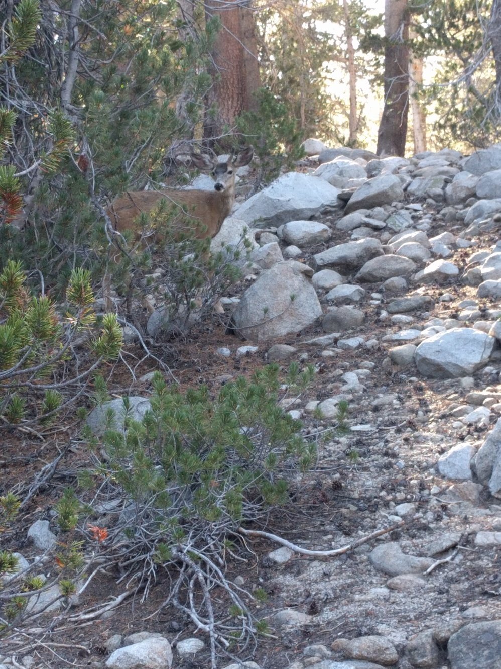
We made it to Garnet Lake pretty quickly which was just as beautiful as Thousand Island Lake. We hit Shadow Lake Junction around 11:30am and ran into Linda there. Linda is 67 and from Healdsburg, she’s doing the entire JMT in 42 days. She’s also carrying a 4 pound floating device for this section to float around in some lakes! We talked for a bit and shared lunch before we started the final climb of the day to Rosalie Lake. Megan felt better again, so Markus was again the one trailing behind on the climb as she practically ran up the switchbacks.
We found a nice campsite near Rosalie Lake around 1:30pm. Since this was a short day, we had time to relax and nap before dinner. Dinner was amazing–we brought some Bettie Crocker Brownie Mix and made something that resembled hot chocolate with it. Tasted great!
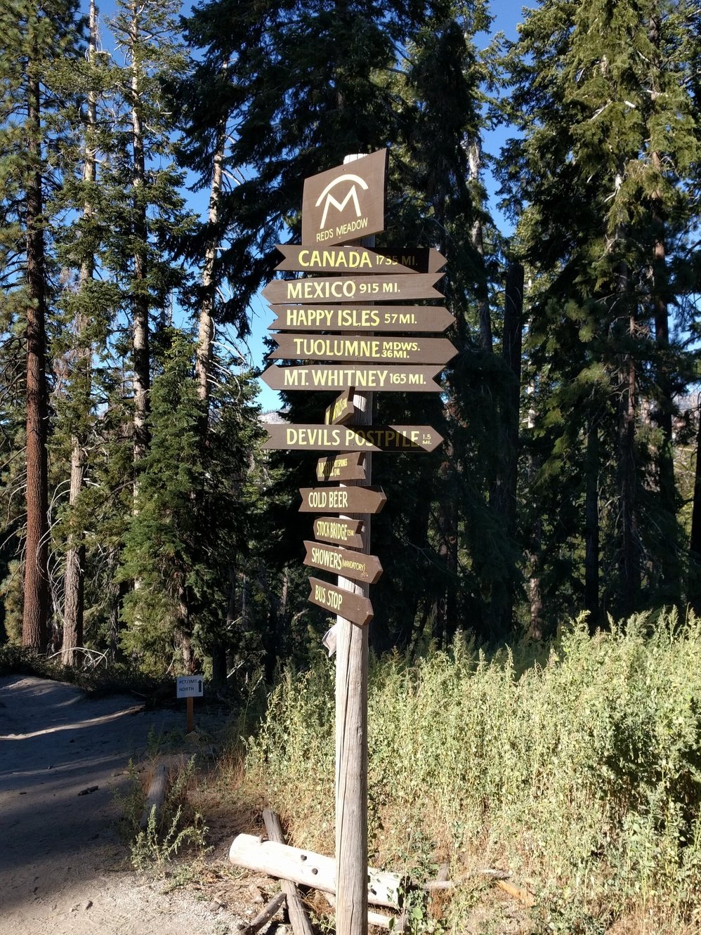
Day 4 - Rosalie Lake to Red’s Meadow
8 miles
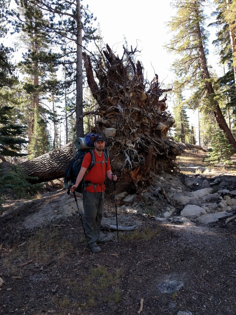
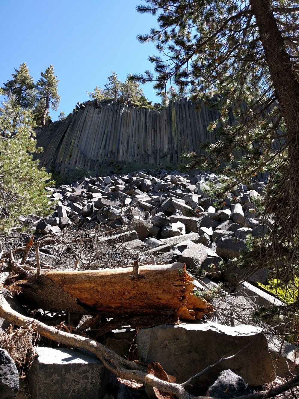
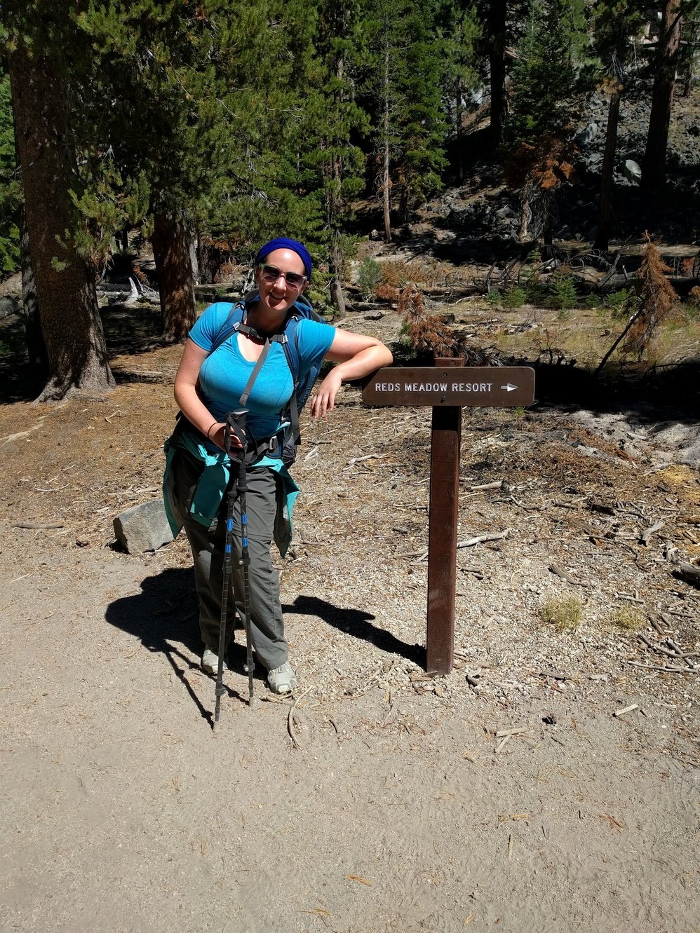
Definitely our easiest day yet. Only a little uphill climb in the morning followed by almost 8 miles of slow descent into Red’s Meadow. On the way there we passed by Devil’s Postpile which was swarming with day hikers. Devil’s Postpile itself was not really impressive. We reached the campground at noon did laundry, had a shower and had some beers and cheeseburgers.
The next few days should all be pretty easy but the hard passes after Muir Trail Ranch are getting closer and make us a bit nervous. In the evening we had a bottle of wine and sat around benches on the campground with other backpackers and exchanged stories. We went to bed at 9:30am which is the longest we’ve made it so far and actually saw the night sky for once. Linda was supposed to make it to Red’s today as well, but she didn’t show up. We hope she’s OK and went straight to take a shuttle to Mammoth Lakes instead and got a massage like she wanted to.
Day 5 - Red’s Meadow to Purple Lake
13.8 miles
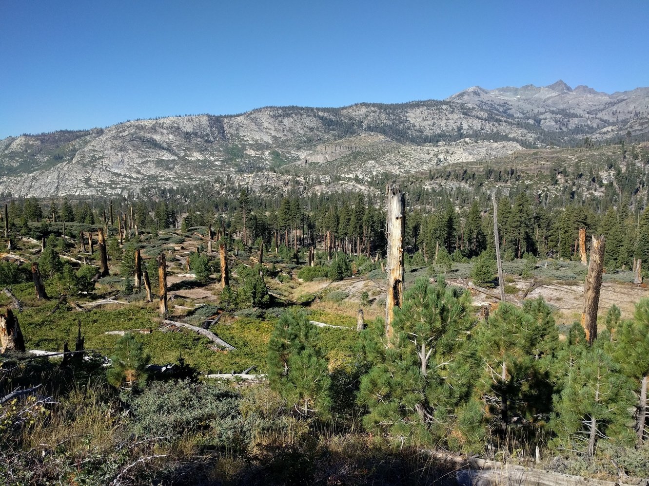
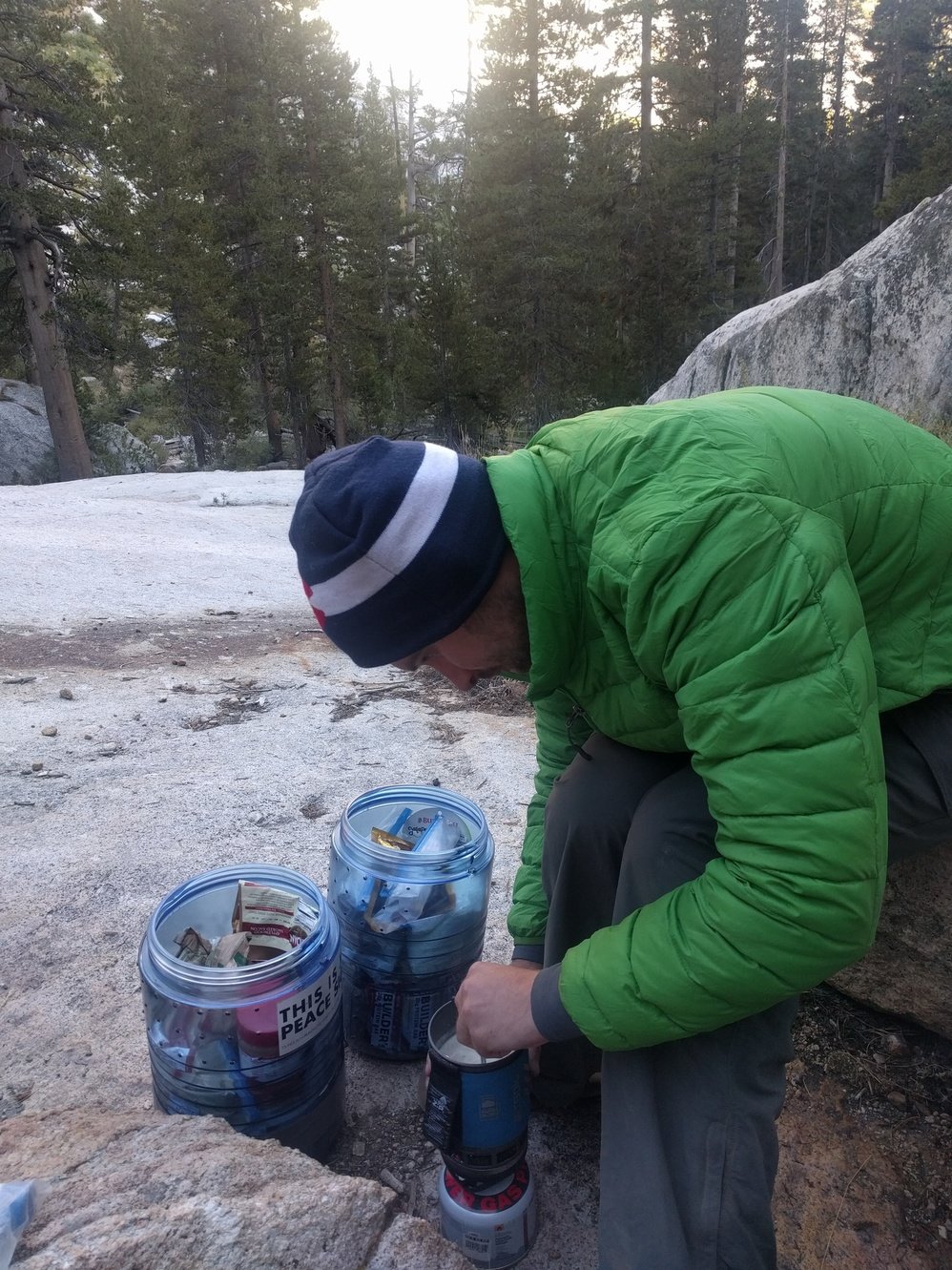
We picked up our resupply bucket at Red’s in the morning after we had breakfast in the little cafe there. Delicious food we didn’t have to cook ourselves and no dishes to do. Surprisingly we fit most of the food and only left behind a handful of items.
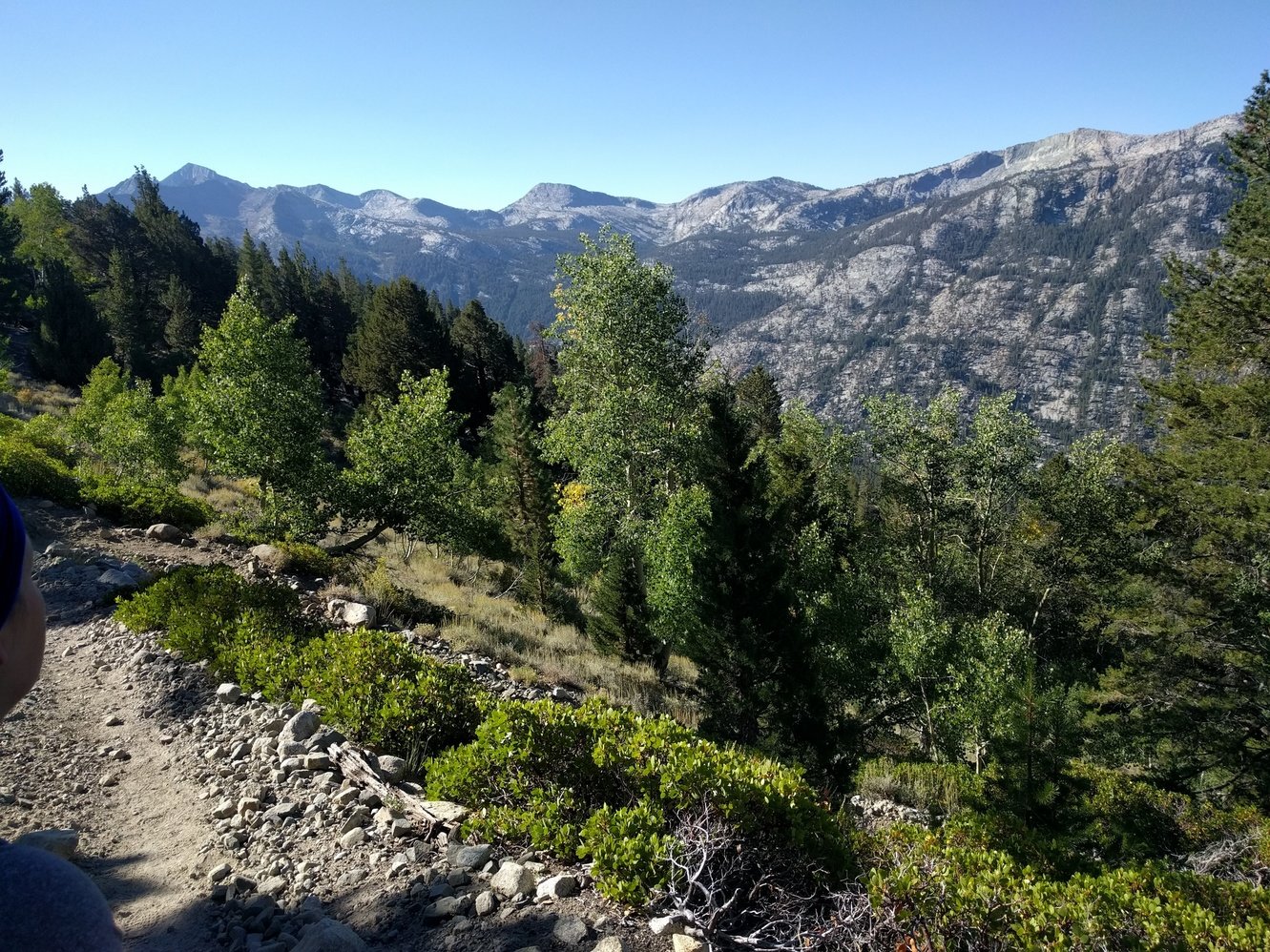
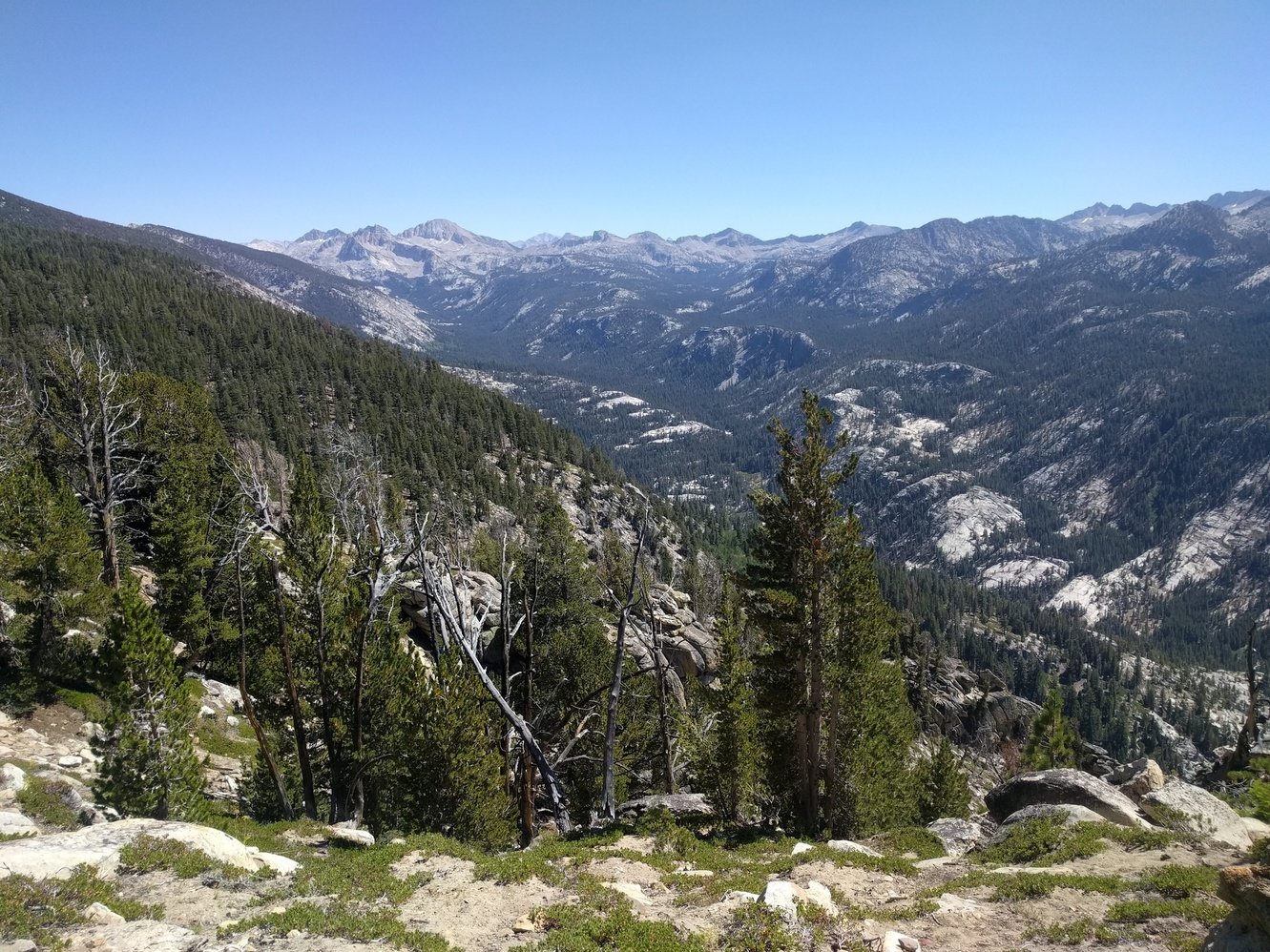
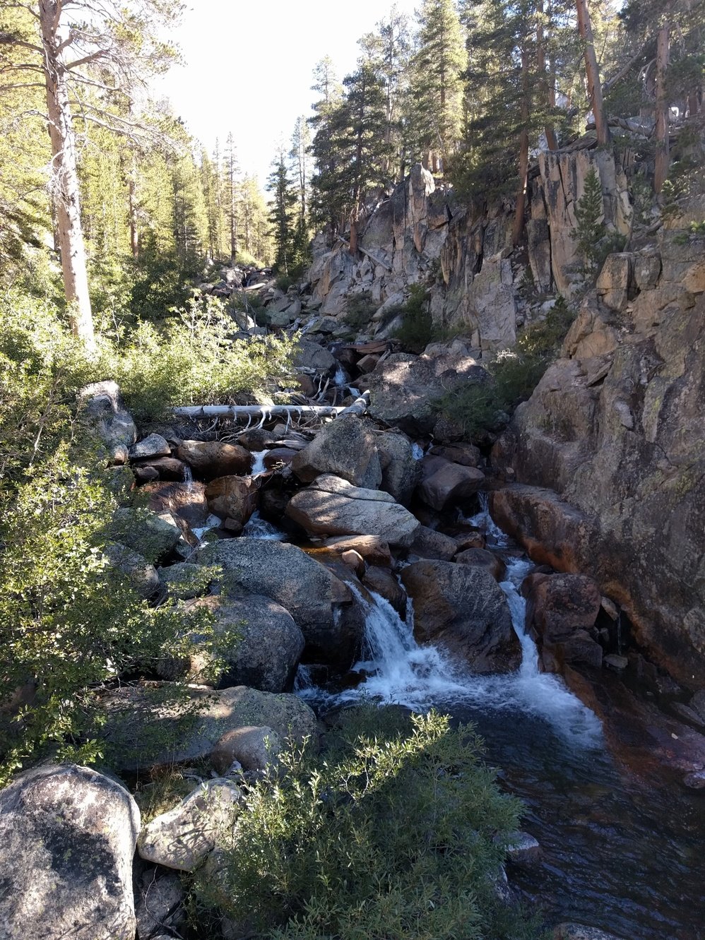
The beginning of the trail out of Red’s goes through a burned area which offers great views. Originally we only wanted to go to Deer Creek today but the hike there went smooth and we were already there by noon, so we decided to go further after a lunch break. There is no water between Deer Creek and the next junction for Duck Lake, so we knew we had to make it there. It’d be another 1000 ft elevation gain after we already did 1000 ft before noon. Things went surprisingly well though and there were some spectacular vistas on the way. Just the last section over some uneven rocks was a little bothersome. We also ran into some people we camped with at Red’s last night including a couple from Las Vegas that plans to do the while JMT in only 12 days!
At the Duck Lake junction we still felt pretty good and decided to go for another 2.3 miles to Purple Lake. That turned out to be a huge mistake. The steep switchbacks in the beginning of that section took all our energy and we were completely drained when we finally arrived at Purple Lake at 5pm. Megan had a migraine and laid down immediately after we put the tent up. She didn’t even want to eat dinner, but a cup of nacho cheese we picked up this morning convinced her otherwise. In the end we crawled into our sleeping bags at 6:30pm and passed out.
Day 6 - Purple Lake to Lake Virginia
1.7 miles
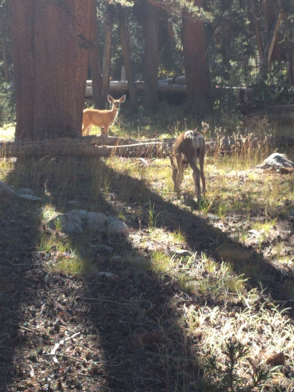
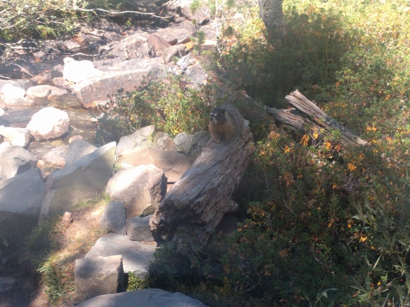
Considering that at this point we were 2 days ahead of our planned schedule and beat up from yesterday we decided to take it easy. We only hiked the short distance to Lake Virginia and found a nice and secluded campsite further down the shore. The rest of the day we spent relaxing, napping, and reading. Originally we planned on a lot of swimming as well, but the lake was so cold that we couldn’t stand it for more than a minute. Lake Virginia was a beautiful spot for a rest day. Great views and plenty of wildlife to watch. Markus was especially fond of some small rodents that behaved and looked similar to prairie dogs. According to our guide book they’re Belding’s ground squirrels.
Day 7 - Lake Virginia to Mott Lake Junction
10.7 miles
We started early at around 8am so we’d reach Silver Pass before the sun is too strong. The day began with a very short uphill section followed by a long descent to Tully Hole and along Fish Creek. We got a little nervous because the way down seemed pretty long and we knew we had to climb the same amount back up on the other side. In the beginning of the ascent to Squaw Lake we ran into 2 guys that started at the same spot we did 2 days later and overtook us. They said they hike until sunset every day and looked pretty banged up. Doesn’t sound enjoyable at all.
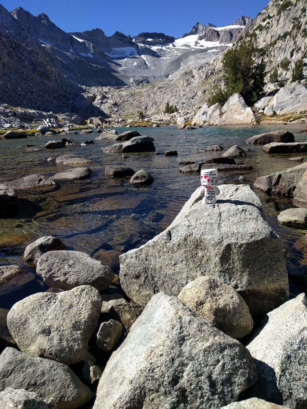
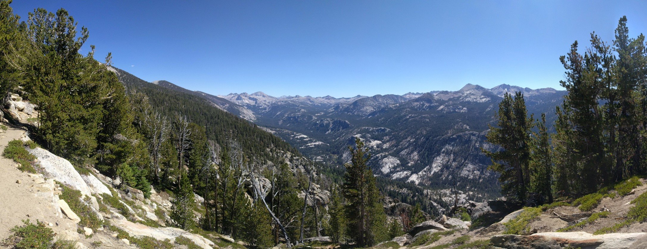
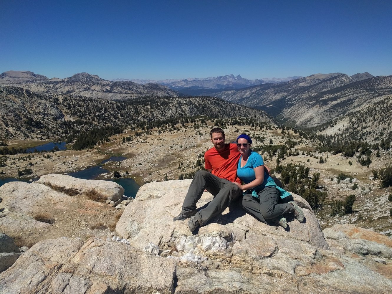
We reached Squaw Lake shortly before noon and had lunch there. The last 500 ft climb over Silver Pass (10740 ft) was pretty rough because the sun was at its highest and the trail was completely exposed. The views from the top were spectacular and another hiker took a photo of us there to commemorate our wedding anniversary. After a final series of steep switchbacks we finally reached our destination for and found a nice little campsite across Mono Creek. However, our wedding anniversary dinner was a complete disaster. The pasta burned and the hot chocolate brownie mix didn’t get creamy because we forgot to add oil.
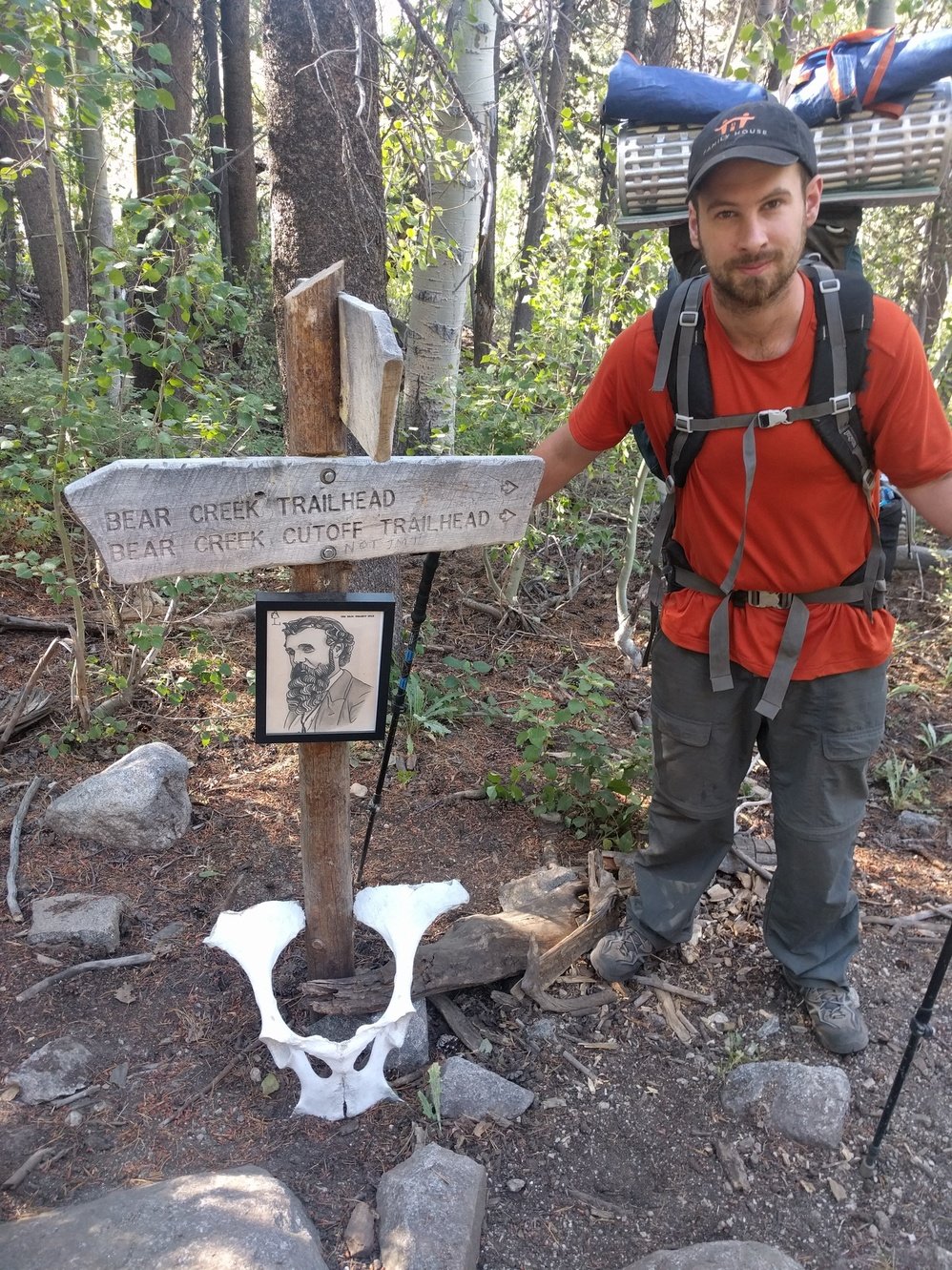
Day 8 - Mott Lake Junction to Bear Creek Junction
9.6 miles
Markus pissed off some chipmunks when he used the bathroom this morning. They ran circles around him and yelled–he probably wrecked their living room. From the Lake Edison Junction the mind numbing 2000 ft climb over Bear Ridge began via seemingly endless switchbacks. We almost made it to the top by noon and had lunch. Ironically the last 2.3 miles from Bear Ridge to Bear Creek felt the worst despite being downhill. We finally reached our campsite around 2:30pm and spent the rest of the afternoon doing laundry and soaking in ice cold Bear Creek.
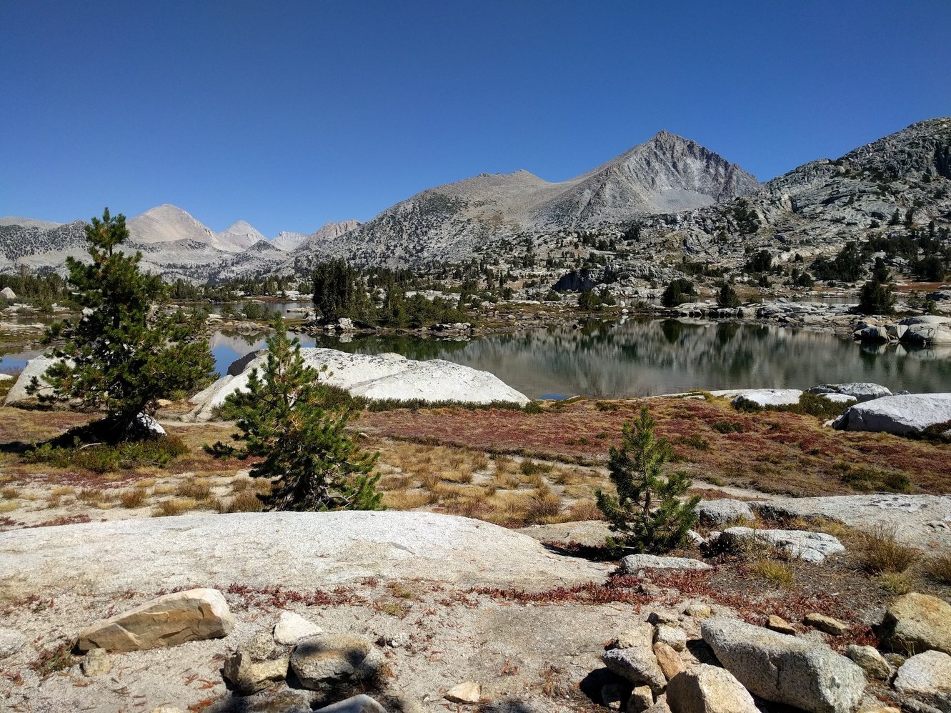
Day 9 - Bear Creek Junction to Sallie Keyes Lake
8.8 miles
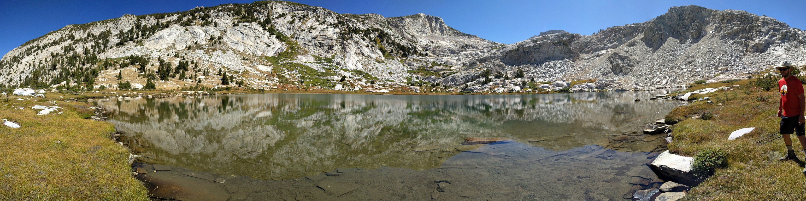
Today went pretty well–we made it to Marie Lake shortly after noon despite a late start. From there Selden Pass is only 350 ft elevation gain more so we decided to have lunch and push on to Sallie Keyes Lake. Markus felt like his right hip was bruised the entire time, but it turned out it was just a pimple in the exact spot the waist belt of his pack sits–bad luck. The views from Selden Pass (10900 ft) were great and we made it to our campsite in the forest along Sallie Keyes Lake by 2:30pm. In the late afternoon two girls pitched up tents just 50 ft from us without saying a word to us and despite hundreds of other possible spots nearby. A bit annoying, but I guess we better get used to it as people will cramp up together near Muir Trail Ranch and near the approaches to the big passes that are coming soon.
Day 10 - Sallie Keyes Lake to Muir Trail Ranch
5.3 miles
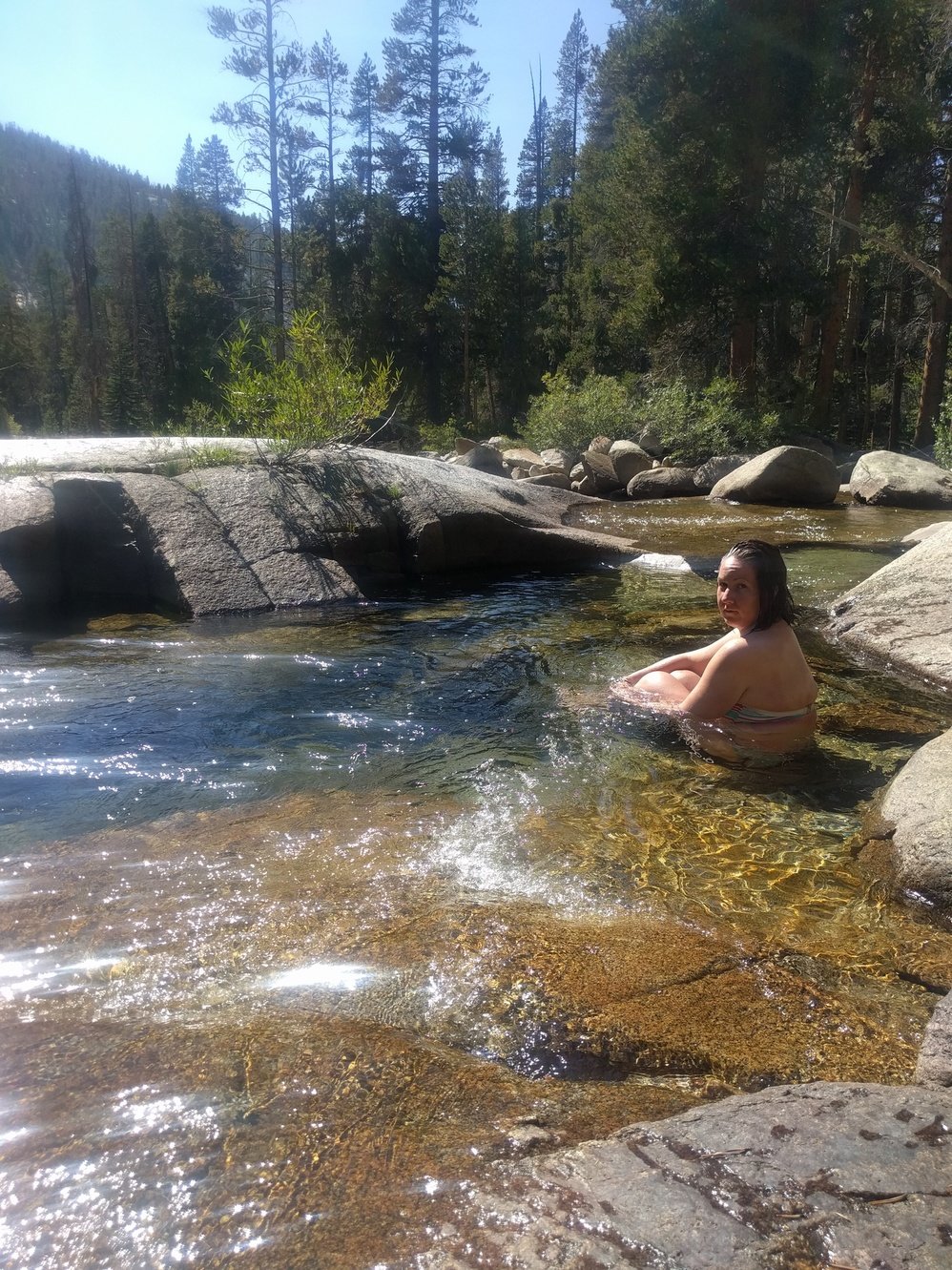
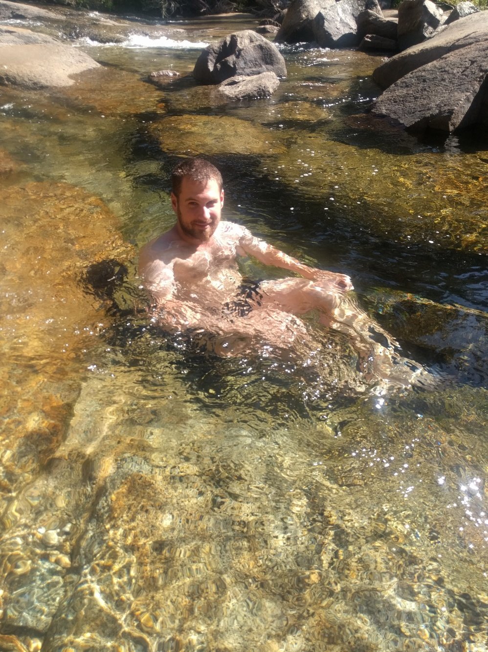
Another easy day–just 5 miles and all downhill. We arrived at the campground near Muir Trail Ranch around 11am, put up tent and headed back to MTR to check out the amenities and use the internet. While we were there other hikers talked about how great their stay at MTR was and unfortunately Megan overheard that there was still a cabin available. On the way back to our campsite we had a major fight until Markus gave in and walked back to book the cabin. The amenities were great considering that we’re in the middle of nowhere: showers, toilets, hot spring, dinner, and breakfast included. Though the price tag of $330 for it is pretty rough, but they’re pretty much a monopoly out here so they can charge whatever they want.